


Main Idea and Supporting Details PowerPoint Reading Comprehension Activities
On Sale
$3.99
$3.99
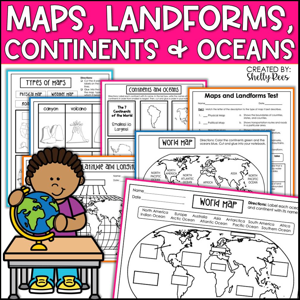
Hands-On Geography for Engaged Learners!
Looking for a way to make geography meaningful, interactive, and student-centered? This Maps, Continents, and Landforms Interactive Notebook offers exactly that—a hands-on learning tool that turns geography concepts into engaging and memorable experiences.
✨ Why You'll Love It:
- Student-Friendly: Clear instructions and layouts designed with young learners in mind
- Teacher-Friendly: Easy prep, low fuss, and classroom-tested
- Interactive & Visual: Cut, paste, label, and assemble pages that bring learning to life
- Aligned to Standards: Supports social studies and geography learning goals for elementary grades
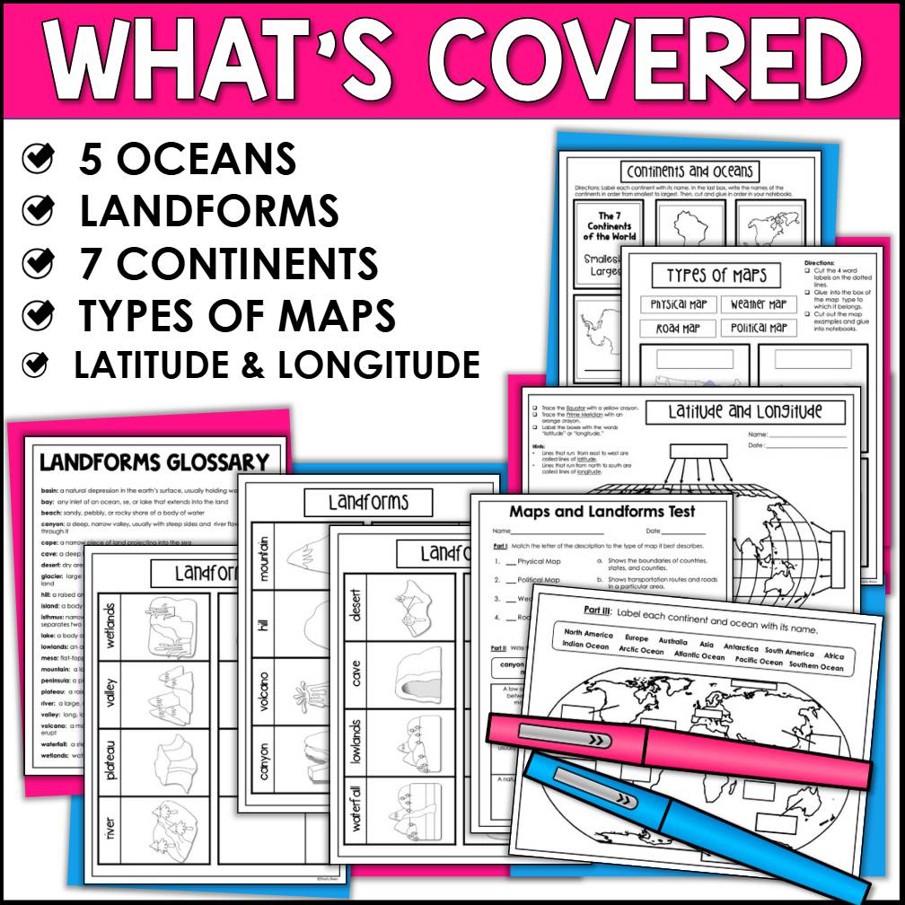
📘 Topics Included:
- Map Skills (map key, compass rose, cardinal directions)
- Continents & Oceans
- Landforms & Bodies of Water (mountains, valleys, rivers, lakes, plains, deserts, etc.)
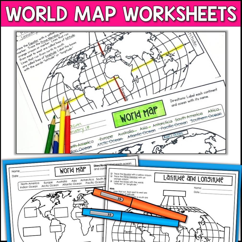
- World Map Activities
- Vocabulary Integration
- Labeling & Sorting Tasks
📎 Easy to Implement:
Just print, prep, and go! Perfect for:
- Whole group lessons
- Independent student work
- Early finishers
- Social studies centers
- Homeschool or hybrid learning
This notebook encourages active learning and gives students a personal reference to revisit throughout the year. It’s the perfect companion for any geography or Earth science unit!