

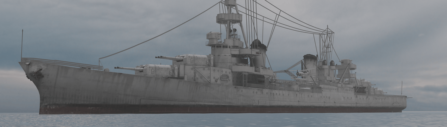


Battle of Normandy
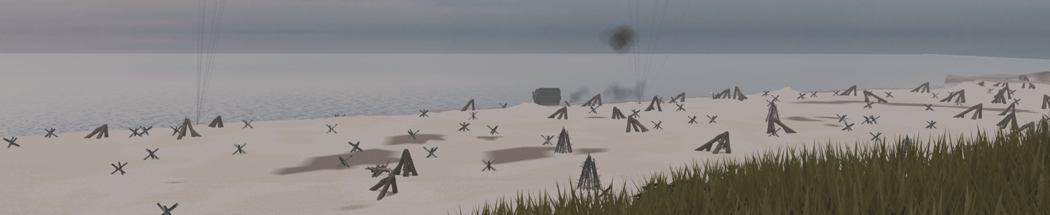
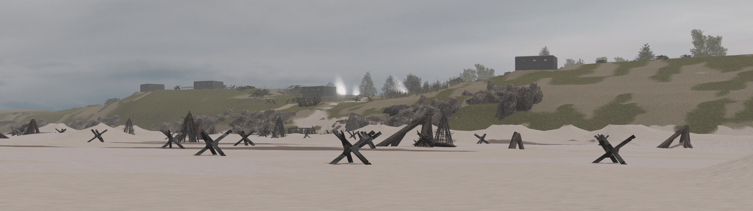
A sweeping recreation of rural Normandy during the summer of 1944, this map captures the transitional terrain between the fortified beaches and the hedgerow country beyond. Coastal defenses cling to the dunes, lined with steel obstacles, barbed wire, anti-landing traps, and entrenched firing positions. Scattered bunkers and artillery pits overlook the shoreline, their concrete walls scarred by earlier bombardments.
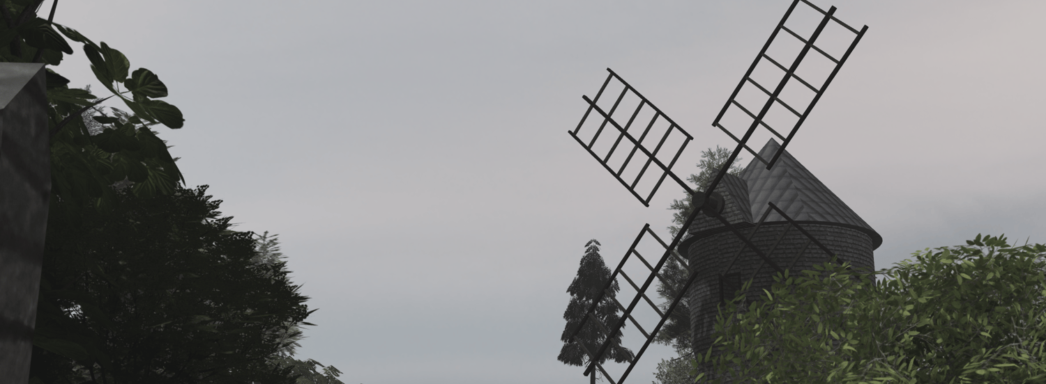
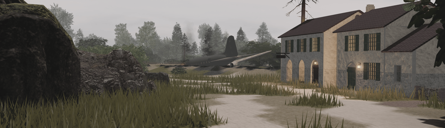
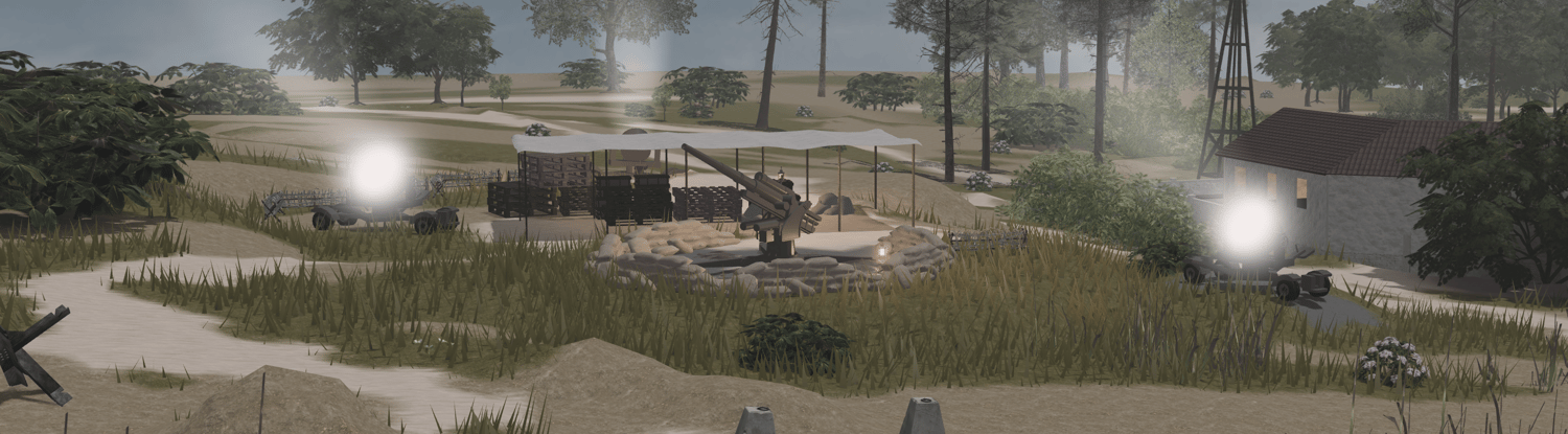
Inland, winding dirt tracks cut through tall grass, thickets, and dense bocage hedgerows—a natural maze that served as both cover and ambush ground. Farmhouses, hamlets, and stone-walled courtyards break the landscape, representing typical Norman settlements that became improvised strongpoints during the battle. Worn barns, supply shelters, watch posts, and crashed aircraft emphasize the chaos and exhaustion of a long, grinding campaign.
With its mix of open fields, tight natural corridors, and layered defensive networks, the environment reflects the tactical challenges faced by both sides during the Battle of Normandy.
Features:
- Huge WW2 map
- WW2 ACS Gun System
- Barely Scripted Map
- German bunkers with radios, trenches and outposts
- A church
- Detailed map
- Buildings with interior
- And more