

Ben Nevis Digital Contour Map Pack
On Sale
£2.49
£2.49
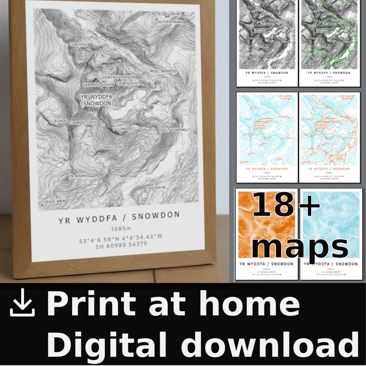
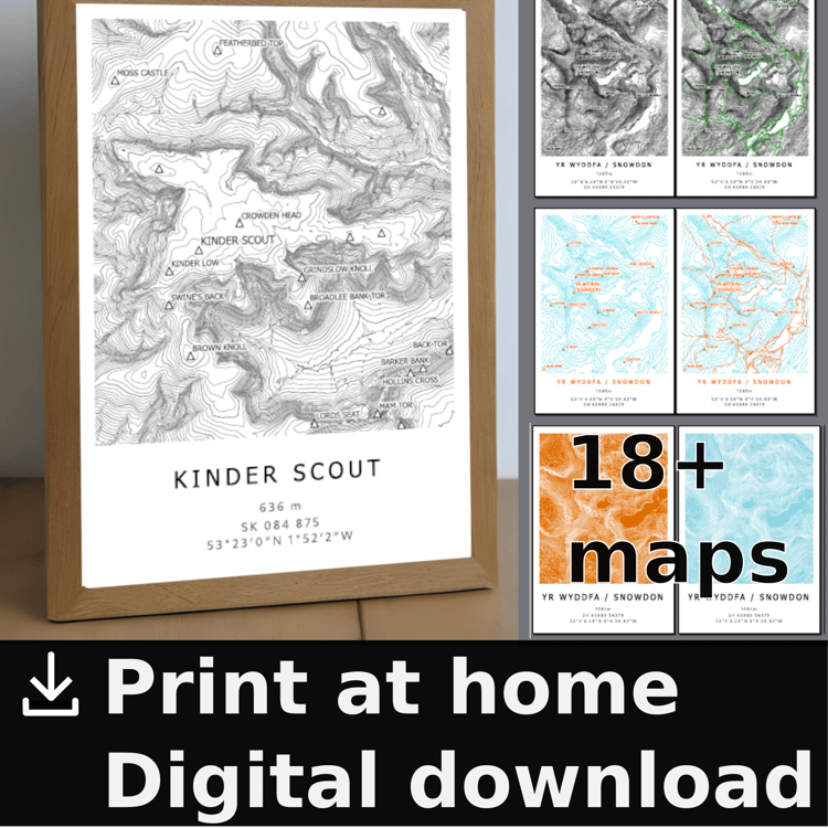
This is a digital download to print it yourself at home, public library, work (they dont pay you enough anyway). Saves time and money compared to buying prints, and you can scale to different sizes e.g. a3 as it is vector imagery (raster hillshade)
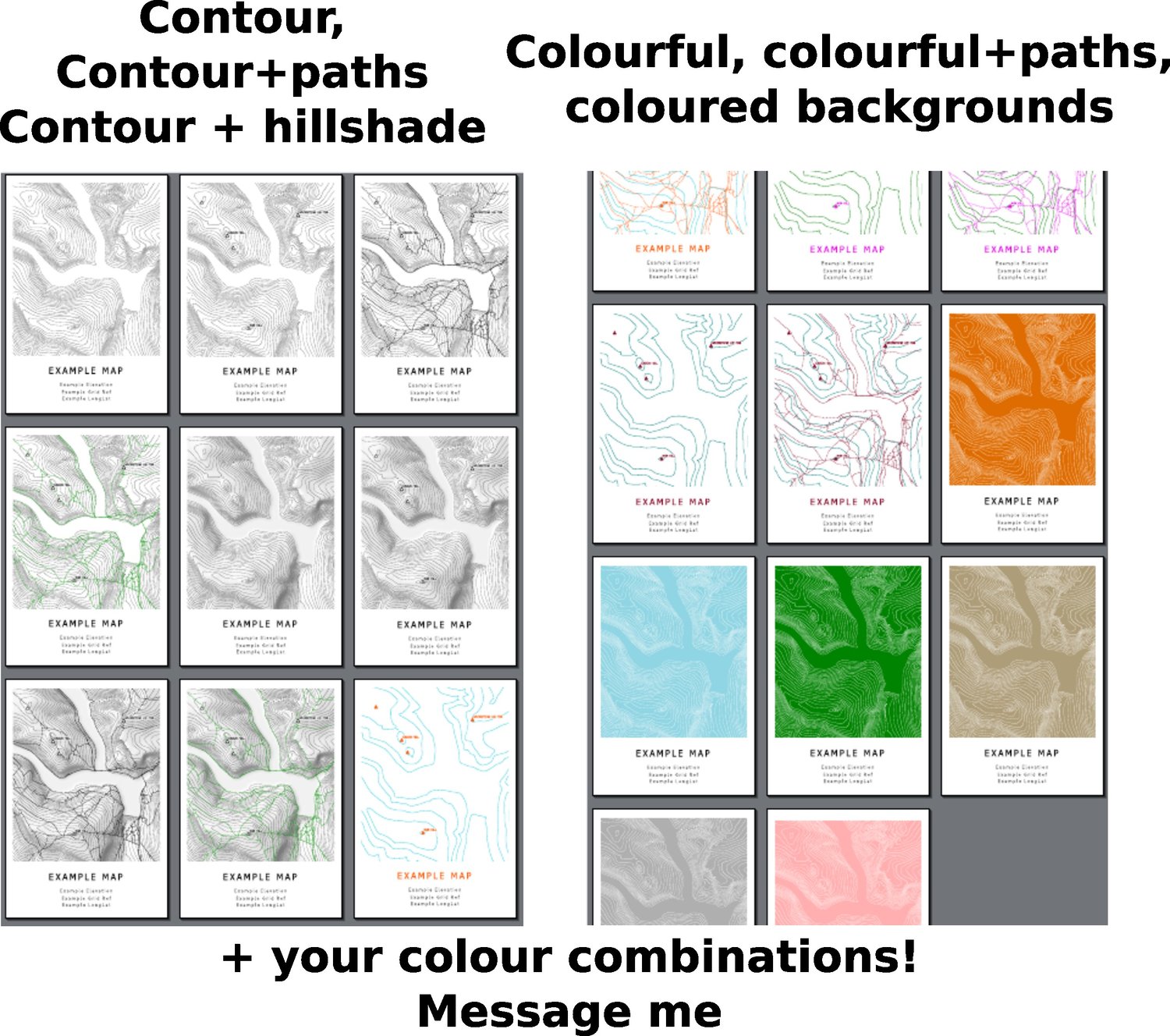
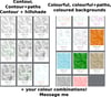
Contains black contour map (10m intervals, 50m accent), contour maps with paths and peak names, hillshaded contour maps, colourful maps (50m contours), and coloured background ma
Data from OS opendata and OpenStreetMap. Cartography by myself.