

Walker Lane, Nevada: Gold-Silver Alteration + Lidar Map Pack (GeoTIFF, GPKG, KMZ)
The central Walker Lane around Mina and Candelaria is a long-worked gold-silver belt, and much of it is already staked. This pack is a documented set of mapped surface alteration and lidar terrain layers for a 1,600 km2 tile covering the Candelaria Hills, Pilot Mountains, Garfield Hills / Mina, Belleville and Sodaville areas. It is built for desktop screening in your own GIS, and it shows which ground is claimed and which is not.
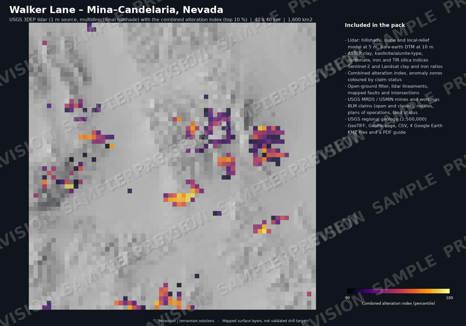
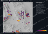
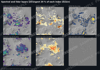
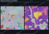
Three satellite sensors, checked against each other. We built clay (hydroxyl), iron-oxide and silica indices from 28 Sentinel-2 scenes (2022-2026), 9 ASTER scenes (SWIR and thermal) and 32 Landsat 8/9 scenes, and combined them into one alteration index. Because the sensors are independent and were acquired years apart, we checked whether their strongest pixels agree: Sentinel-2 and Landsat agree on 94 % of the strongest clay pixels, and ASTER agrees with both at four to six times the rate expected by chance. The guide gives the table.
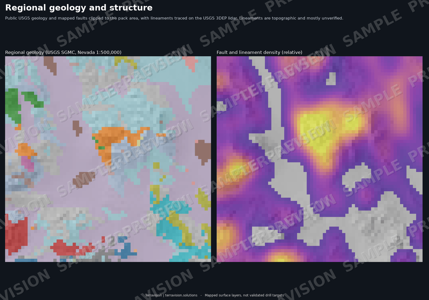
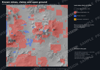
USGS 3DEP lidar for the whole tile. Bare-earth lidar shows fault scarps, offset drainages, old workings, dumps and pits that satellite images do not. The pack includes a multidirectional hillshade, slope and local relief model at 5 m and a 10 m DTM, plus 177 lidar lineaments, each classified against USGS Quaternary faults and state geologic-map faults.
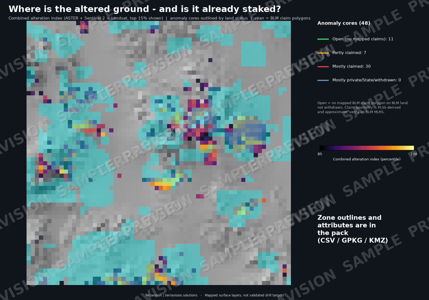
The pack also contains 48 alteration cores and 39 footprints (with signature class, sensor support, mapped geology, structure metrics and land-status percentages), regional geology (USGS SGMC), 348 USGS MRDS mines and prospects and 1,369 USGS topo-map workings, and a BLM claims overlay (4,189 active claim polygons) with closed-claim history (276 records), exploration notices and plans of operations.
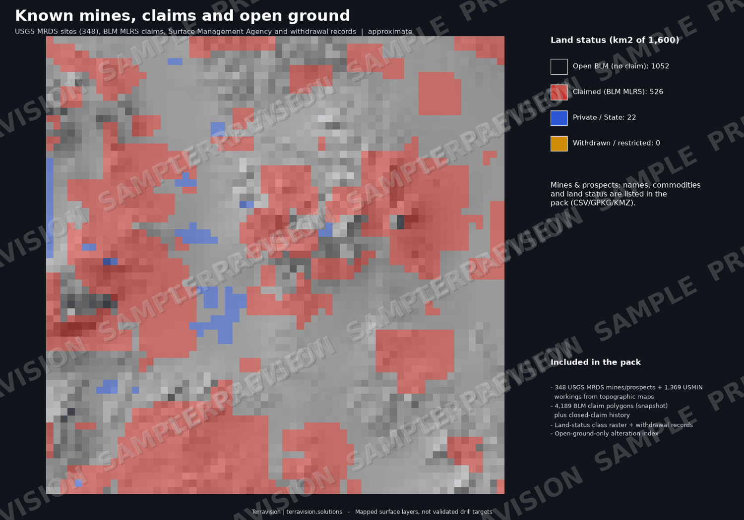
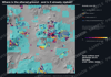
What the claims overlay shows: about 66 % of the tile is BLM land with no mapped claim and about 33 % is inside a claim polygon. Most of the strongest alteration sits on or beside claimed ground: of the 48 cores, 11 are open, 7 partly claimed and 30 mostly claimed. About 25 km2 of open BLM ground carries a top-5 % alteration signal. The pack shows claimed ground as clearly as open ground.
All layers are in WGS84 / UTM 11N with a full layer index. A 10-page PDF guide explains the method, how to use the layers in QGIS, ArcGIS and Google Earth, what they can and cannot show, and the data credits and licences.
Who it is for: gold-silver prospectors and juniors doing desktop review in the Walker Lane; consultants and analysts screening the district; GIS and remote-sensing users; students and teachers working with lidar, ASTER, Sentinel-2 and Landsat in an arid volcanic setting.
What's inside:
- 26 GeoTIFF layers: combined alteration index (all land and open ground), hydroxyl, iron-oxide and silica components; Sentinel-2 and ASTER indices at 20 m (Al-OH, kaolinite/alunite-type, Mg-OH/carbonate, ferric, ferrous, TIR silica, TIR carbonate); Landsat clay and iron ratios and a 7-4-2 composite at 30 m; lidar hillshade, slope, local relief (5 m) and DTM (10 m); land-status class; claim count; structure density indices
- GeoPackage (16 layers) + 16 GeoJSON: alteration cores (48), footprints (39), lidar lineaments (177, classified), mapped faults (449), fault intersections (97), BLM claims (4,189), closed claims (276), exploration notices (17), plans of operations (5), geology (197 polygons), land status, no-go areas, surface management agency
- Known mines and prospects: 348 USGS MRDS points (Producer 7, Past Producer 197, Prospect 15, Occurrence 107, Plant 4, Unknown 18) with commodities, status and link, plus 1,369 USGS topo-map shafts, adits, pits and prospects
- Land status / no-go: open BLM 1,052 km2, claimed 526 km2, private / State / non-BLM 22 km2; 13 withdrawal polygons, none recorded as closing mineral entry; no military land in this tile
- 19 CSV tables: land status, sensor-agreement checks, scenes used, lidar tiles used, layer index
- 4 Google Earth KMZ files (alteration with raster overlays; structure; mines, claims and land status; lidar and geology)
- 10-page PDF guide: method, GIS use, limits, data sources and licences
- Size: about 380 MB download (most of it is the lidar)
Important: these are mapped surface layers. They are not drill targets, not a resource or reserve estimate, and not investment or exploration advice. Satellite indices record the top millimetres of the ground and nothing below. A clay, iron or silica signal is a spectral screening result, not a grade, and can come from unaltered rock, playa clays, iron-stained alluvium, quartz sand or desert varnish. No layer has been validated by drilling, sampling or field work. Claim data are an approximate snapshot (BLM MLRS, 2026-11-21, PLSS-derived geometry); verify with BLM and the Mineral and Esmeralda County Recorders. Known-deposit points come from USGS MRDS (frozen 2011) and USGS topographic maps: locations are approximate and the status words are historical. Locating a claim on federal land requires a US citizen or US entity, and "open" in this pack does not mean you can stake it.
Specs: CRS WGS84 / UTM 11N (EPSG:32611); tile extent E 391000-431000, N 4222000-4262000 (40 x 40 km); Sentinel-2 / ASTER 20 m, Landsat 30 m, lidar 5 m and 10 m; formats GeoTIFF, GPKG, GeoJSON, CSV, KMZ, PDF. Works in QGIS, ArcGIS, Google Earth, Global Mapper, Python and R.
Licence: single-user licence for your own internal and commercial use; no resale or redistribution of the pack. Third-party data keep their own terms (see the guide).
Data credits: contains modified Copernicus Sentinel-2 data (2022-2026); ASTER L1T data courtesy of NASA/METI/AIST/Japan Spacesystems and the U.S./Japan ASTER Science Team, distributed by NASA LP DAAC / USGS EROS; Landsat 8-9 data courtesy of the U.S. Geological Survey; lidar from the USGS 3D Elevation Program (3DEP); USGS MRDS, USMIN and SGMC; BLM MLRS and Surface Management Agency; USGS PAD-US. Full credits and licences are in the guide.
Delivery: instant download after purchase (one ZIP).
FAQ
- Does it tell me where the gold is? No. It maps surface alteration, terrain and structure, and shows how much of that ground is claimed.
- Does it tell me where to drill? No. It is not a drill-target product and is not exploration advice.
- Is the lidar the full 1 m data? It is built from the USGS 3DEP 1 m bare-earth DEM, resampled to 5 m (hillshade, slope, local relief) and 10 m (DTM) to keep the download manageable. CSV/lidar_3dep_1m_tiles.csv lists the source tiles if you want the full 1 m data.
- Does it show known mines and prospects? Yes: USGS MRDS records and USGS topo-map workings, each tagged with land status. They are historical public records, not a current assessment.
- Does it show military or restricted land? Yes: the land-status layer marks withdrawn and restricted ground. No military land falls inside this tile.
- Can I stake the open ground? Not necessarily: claim polygons are approximate, and staking requires a US citizen or US entity. Check BLM MLRS and the county.
- Which software do I need? Any GIS that opens GeoTIFF / GeoPackage, or Google Earth for the KMZ files.
- Refunds? Because this is an instant digital download, sales are final once downloaded. If a file is faulty or won't open, email chris@terravision.solutions, use the contact form at terravision.solutions, or send a Payhip message, and we will fix it or refund you.
Pricing (USD): single-user licence $295 launch price (list price $395). A team licence (up to 5 users, $795) and an academic / student licence ($99) are available on request: email chris@terravision.solutions. All licences cover the same download and differ in licence terms alone.
Christopher Thompson, trading as Terravision | chris@terravision.solutions | terravision.solutions