
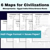
Ancient Civilizations Continent Mapping
Ancient Civilizations: Continent Location Map Activity | Hands-On Geography Practice
Looking for a simple, engaging way to help students visualize ancient civilizations while reinforcing map skills? This Ancient Civilizations: Continent Location Map Activity makes geography interactive and easy to remember!
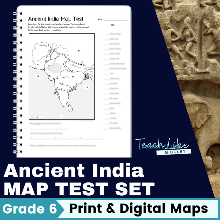
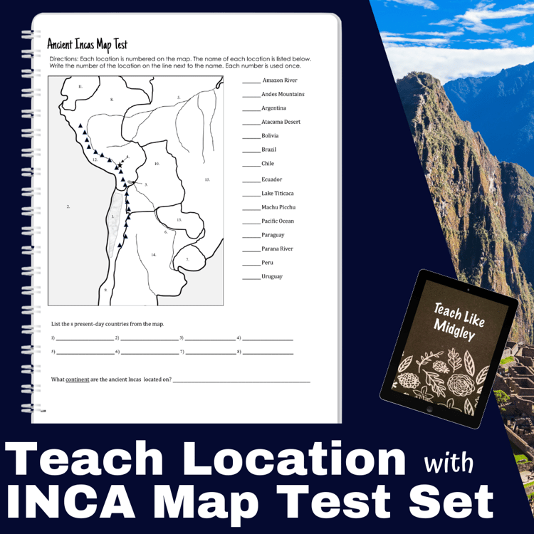
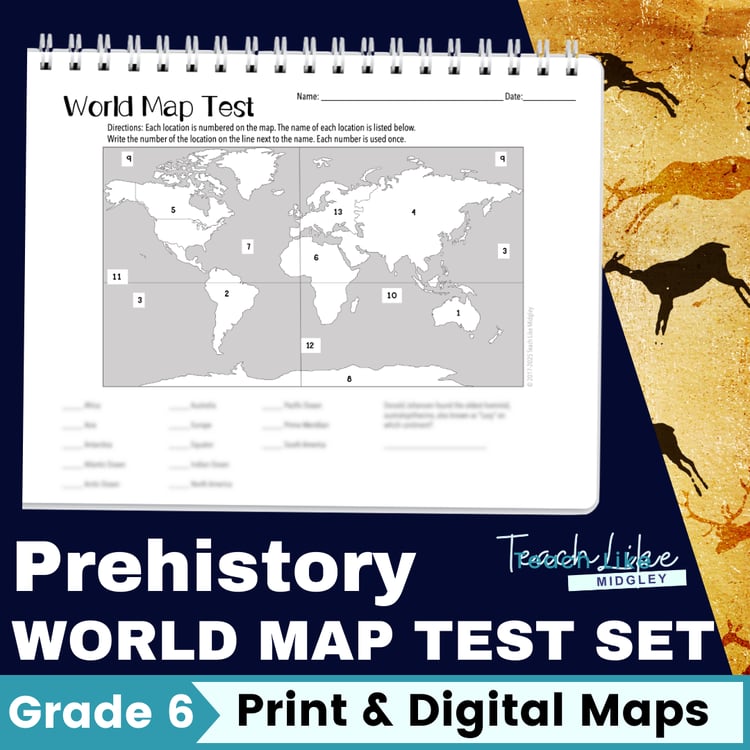
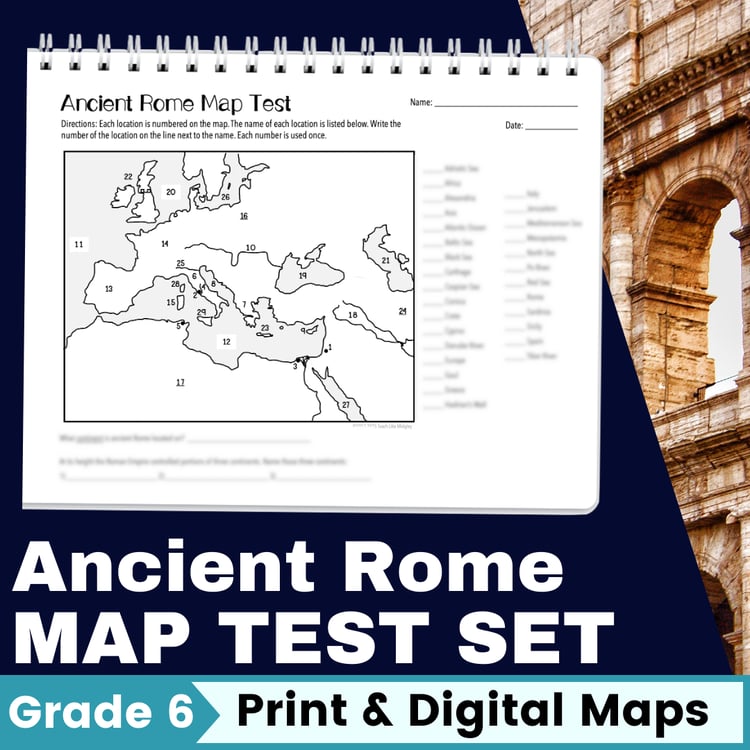
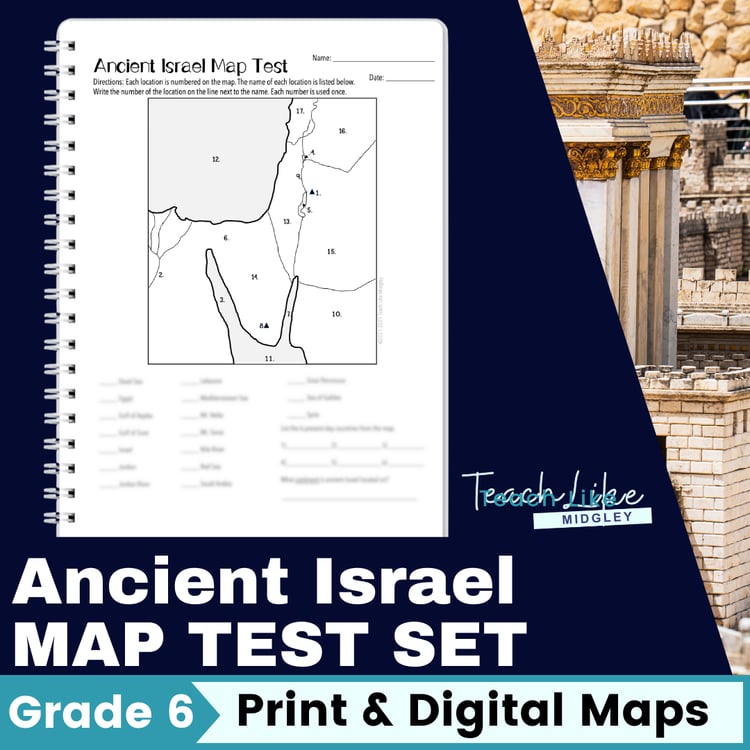
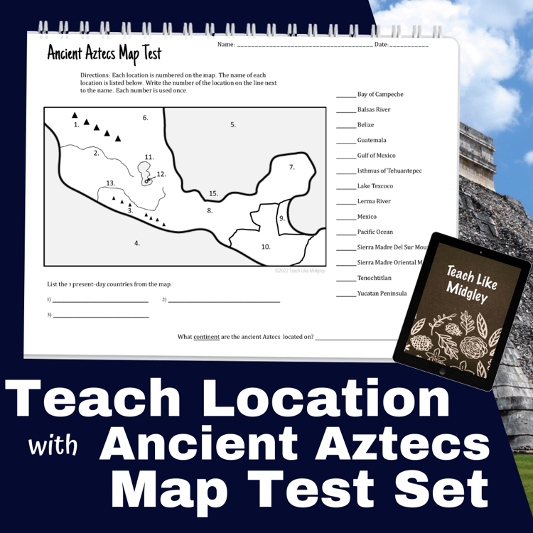
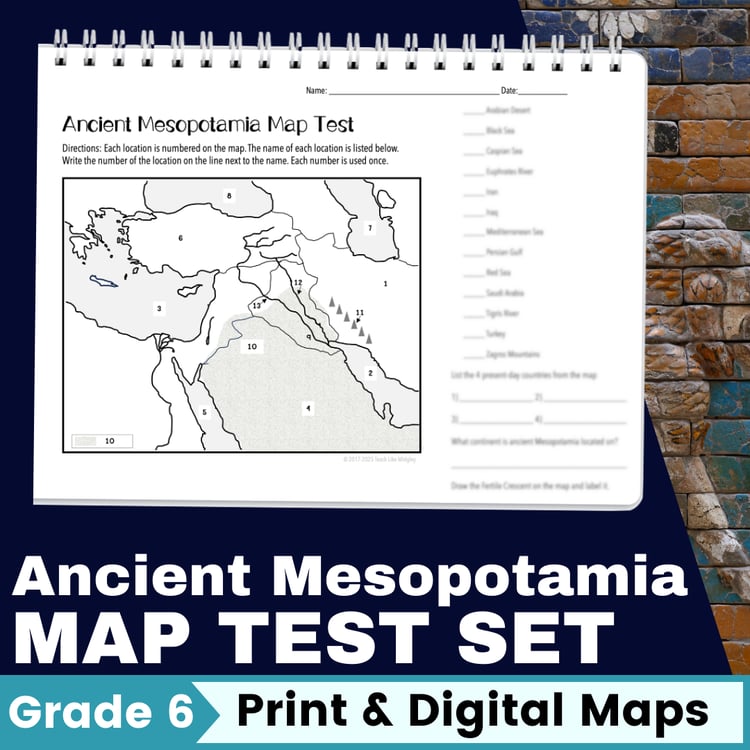
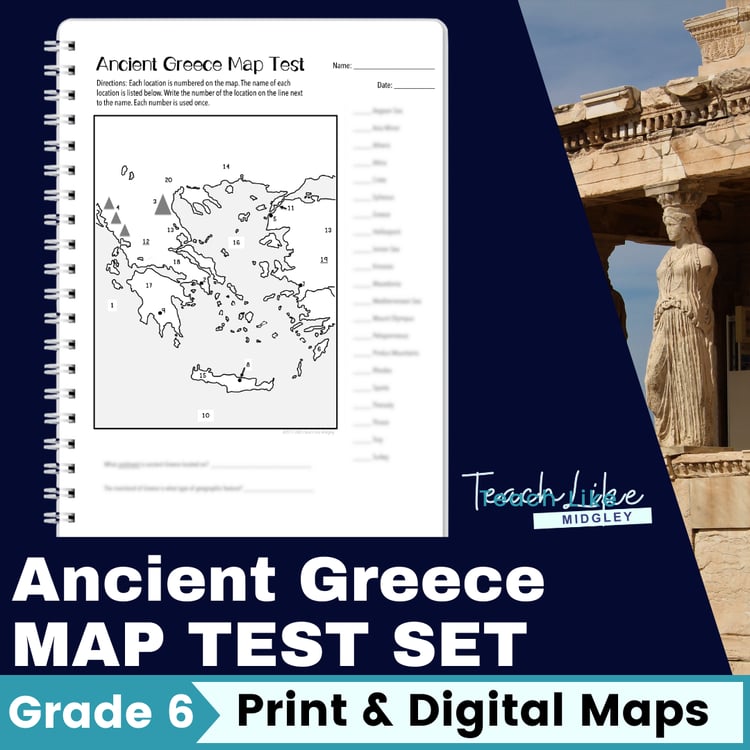
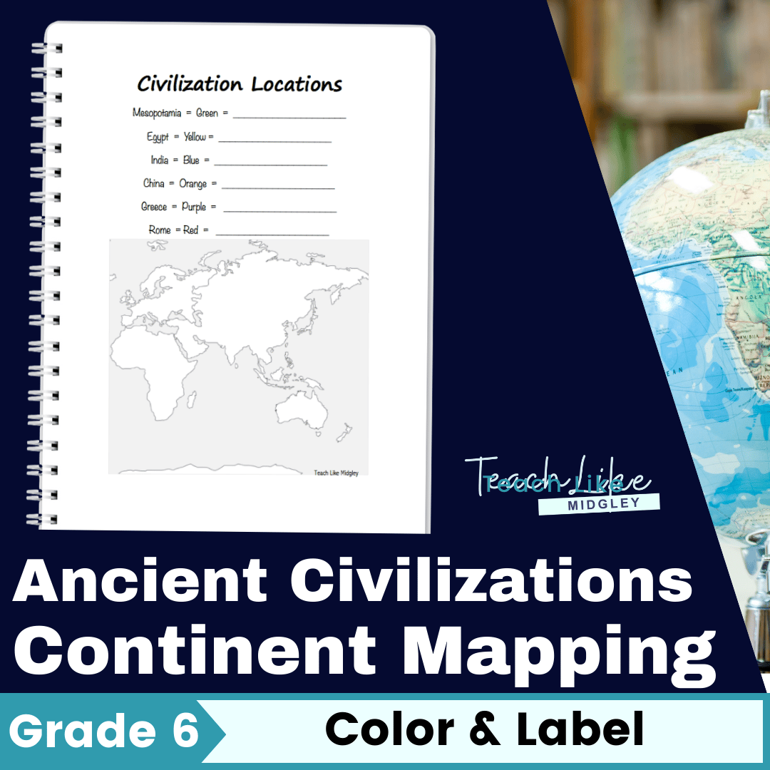
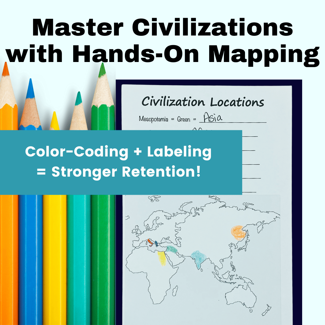
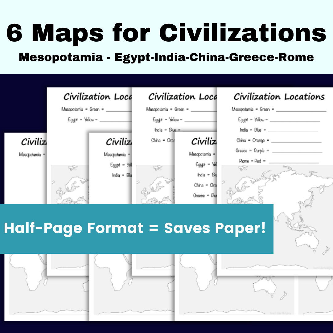
Using color-coding and labeling techniques, students will track the locations of key civilizations—Mesopotamia, Egypt, India, China, Greece, and Rome—while strengthening continent recognition and map reading skills.
What’s Included:
✔ 6 Half-Page Maps – Saves paper! Just print, cut, and distribute.
✔ Color-Coding System – Helps students retain locations.
✔ Labeling Practice – Identify continents for each civilization.
✔ Notebook-Friendly Design – Perfect for interactive notebooks.
How It Works:
At the start of each unit, students color in the civilizations they’ve studied so far.
They recall past civilizations by connecting them to continents & modern-day geography.
They label the continent at the top of the page for added reinforcement.
Glue into notebooks for easy reference all year!
Why You’ll Love This Activity:
✔ Saves Time – No prep, just print & teach!
✔ Strengthens Geography Skills – Perfect for 6th-grade social studies.
✔ Works for Individual & Whole-Class Instruction – Great for bell work or unit introductions.
✔ Engaging for Students – Hands-on learning boosts retention!
__________________________
Copyright © Teach Like Midgley
Permission to copy for single classroom use only.