
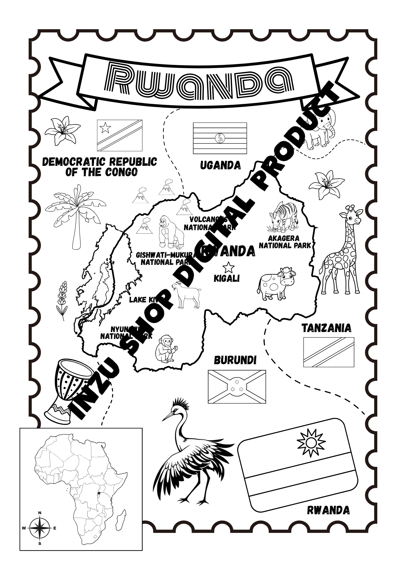
Rwanda coloring map
On Sale
$3.00
$3.00
Rwanda Coloring Map – Educational Printable
Explore Rwanda through creativity with this beautifully illustrated Rwanda Coloring Map, designed to make learning about the Land of a Thousand Hills fun and engaging for children and families.
This printable coloring map combines geography, wildlife, culture, and neighboring countries in one educational activity. Children can color the map while discovering Rwanda’s major landmarks, national parks, animals, lakes, surrounding countries, and African geography.
What’s featured on the map:
- 🗺️ A detailed outline map of Rwanda
- 📍 Kigali, Rwanda’s capital city
- 🌊 Lake Kivu
- 🦍 Volcanoes National Park
- 🐒 Nyungwe National Park
- 🦒 Akagera National Park
- 🐘 African wildlife and animals
- 🌿 Plants and nature illustrations
- 🇷🇼 Rwanda’s flag
- 🇺🇬 Uganda, 🇨🇩 Democratic Republic of the Congo, 🇹🇿 Tanzania and 🇧🇮 Burundi
- 🌍 A map of Africa for additional geography learning
- 🎨 Large, easy-to-color illustrations and labels
Perfect for:
- Children learning about Rwanda and African geography
- Homeschooling and classroom activities
- Geography lessons
- Travel-themed educational activities
- Teachers and educators
- Parents looking for screen-free activities
- Rwanda-themed learning resources
- Cultural and educational activity packs
- Printable worksheets and coloring activities
Digital Product
Instant digital download – no physical product will be shipped.
Print it at home, at school, or at your favorite print shop and let children discover Rwanda while having fun coloring.