
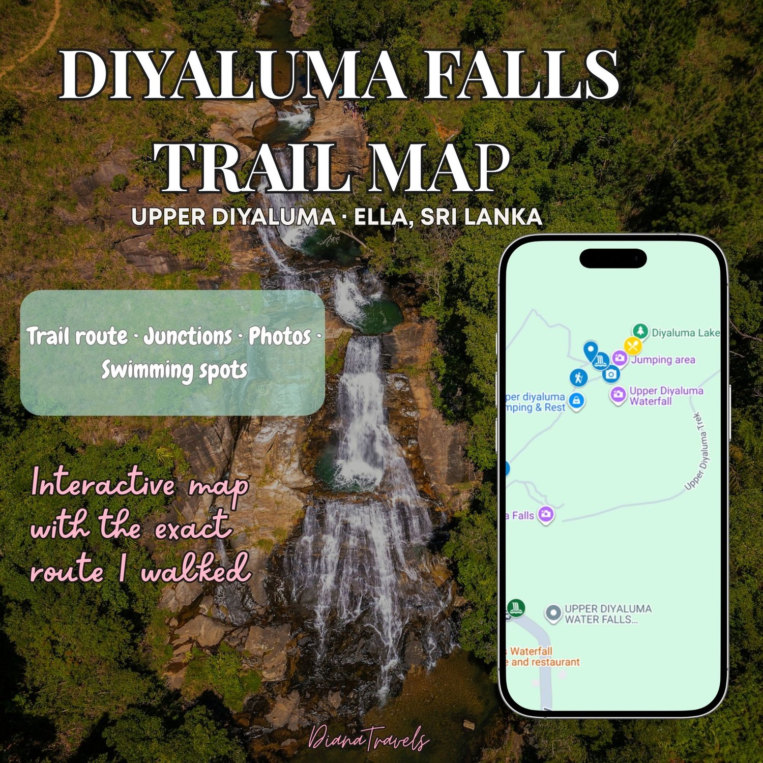
Diyaluma Falls Trail Map — Ella, Sri Lanka
Explore Upper Diyaluma Falls without second-guessing the trail.
I created this interactive map from the exact route I personally walked to Upper Diyaluma Falls, after discovering that regular Google Maps wasn't always particularly helpful on the trail — at one junction, it actually sent me the wrong way.
The map marks the route I successfully followed, including:
📍 Upper Diyaluma parking & trailhead
🎟️ Ticket kiosk
🥾 The exact trail I walked
⚠️ Confusing junctions and which way to go
📷 Photos and notes from useful trail landmarks
💦 Upper Diyaluma pools & swimming area
🥥 The coconut seller at the falls
🌊 Lower Diyaluma Falls
🍴 My lunch stop recommendation
Especially useful if you're visiting without a guide.
Your purchase includes a beautifully designed PDF access sheet with a clickable link and QR code to open the interactive map on your phone.
✓ Instant digital download
✓ Interactive Google My Map
✓ Based on my personally walked route
✓ Lifetime access
Please note: This map reflects the route and conditions I personally encountered during my visit. Trails, access, fees and river conditions can change. Always follow current local signs, closures, and safety advice.