
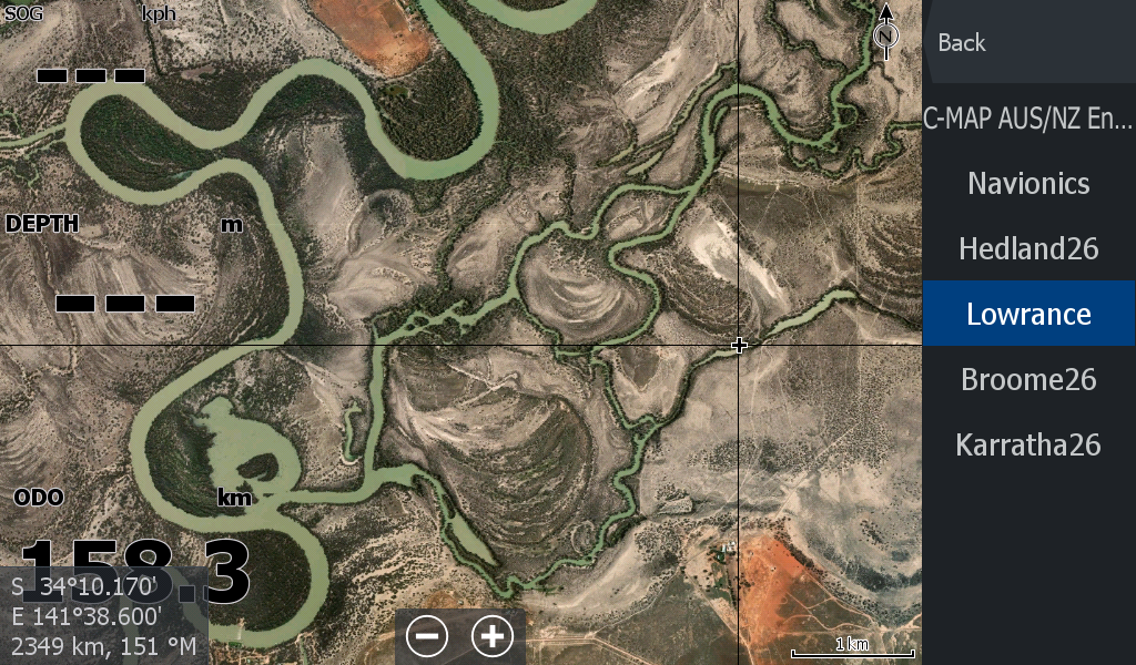
Murray River - Mildura to Mannum "Plus"
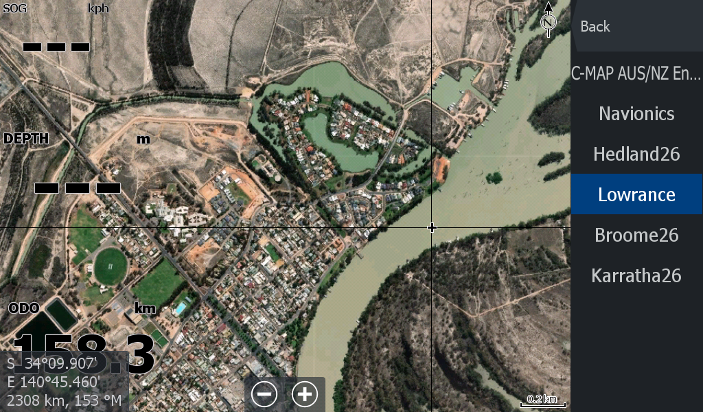
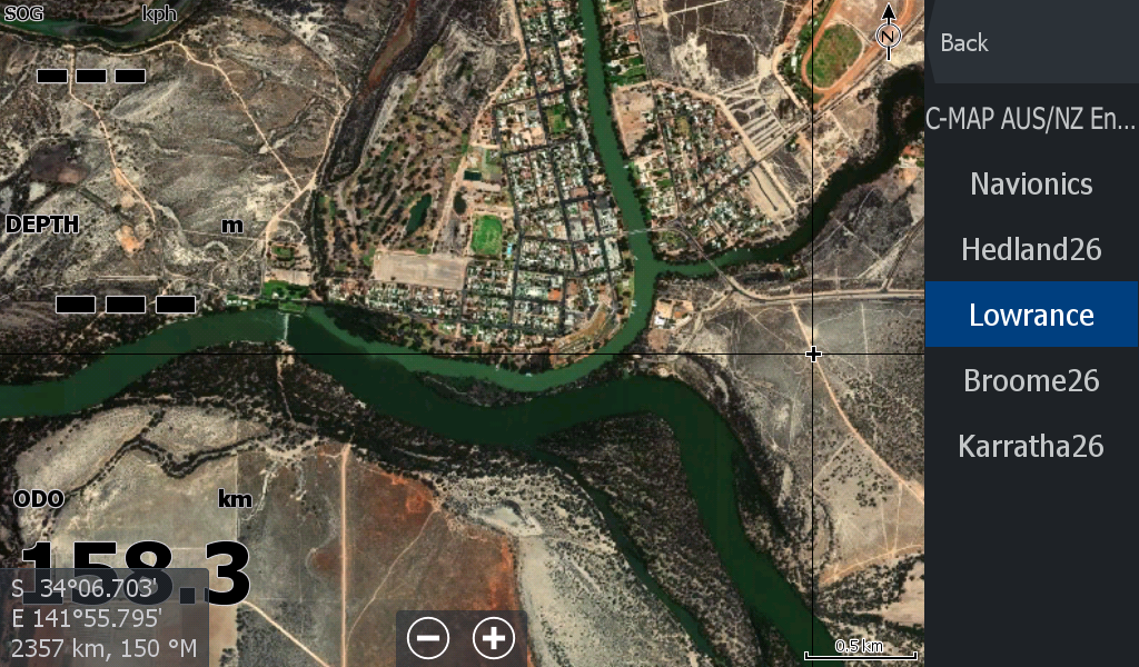
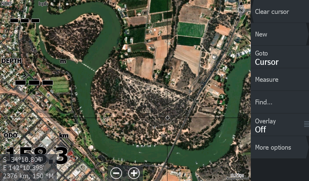
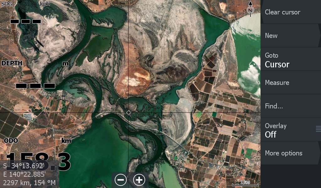
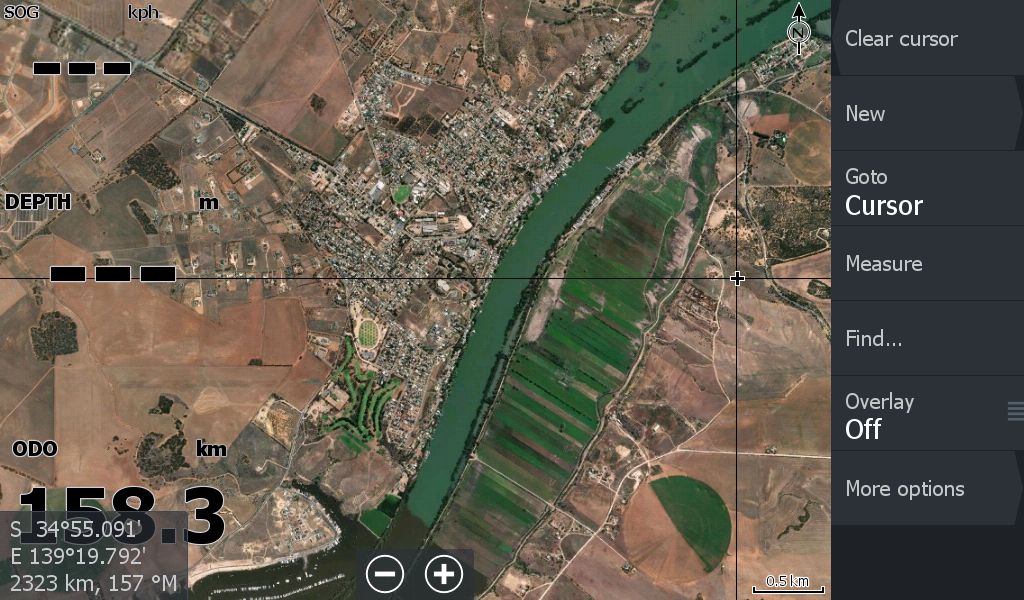
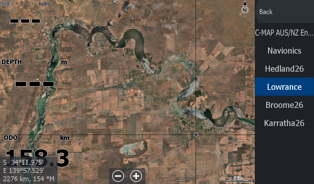
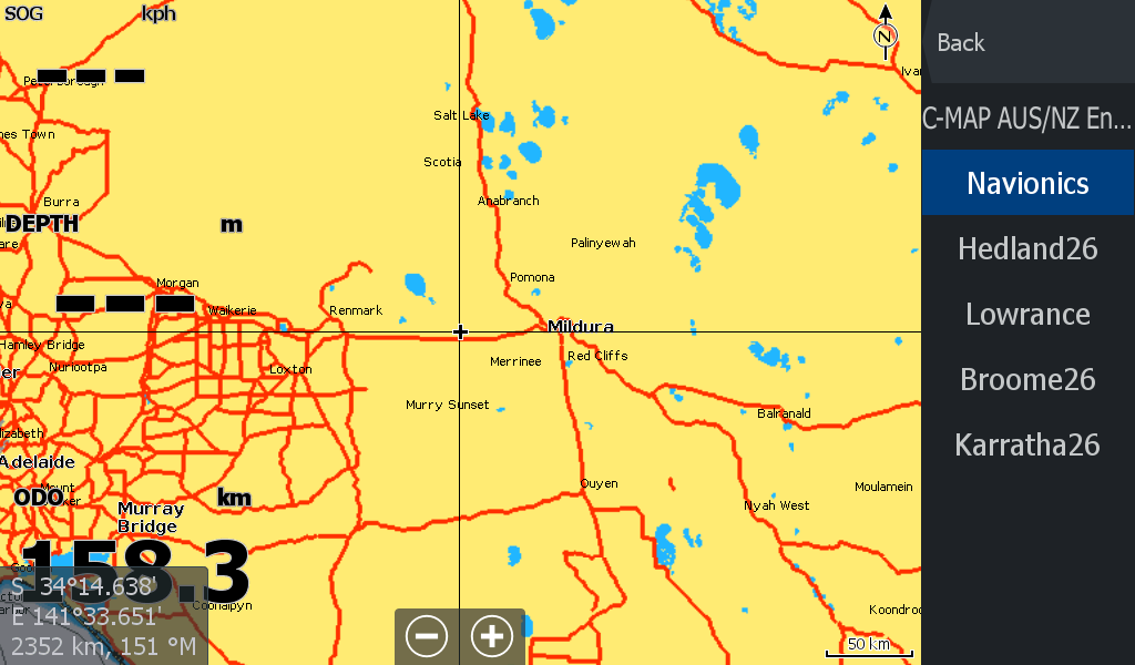
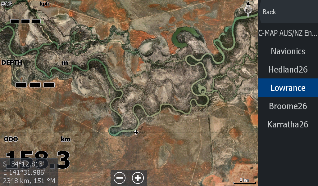
A map for the "Tinny Rally" participants and boaters on the Murray River between Mildura Vic & Mannum SA (Plus extra on either side) The starting point on the map is 50km upstream of Mildura all the way through to the mouth of the Murray River at Tailem Bend / Lake Alexandrina. Includes about 50kms of the Darling River upstream of Wentworth & approximately 40kms of the Great Darling Anabranch.
This map is larger than usual and has a reasonable zoom quality.
The map only works on Lowrance Chart plotters, not the Cheaper Eagle or Hook series as I reckon most people will have on the Murray as there is not exactly a chart for the Murray River.
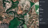
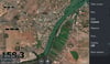
Some of the map imagery flicks between summer water levels & previous flood events.
Don't forget to check out the tutorials on both www.Topendmaps.com or on the maps paysite ( this one) to watch a you tube video or have a read on downloading the map , unzipping it, throwing on a micro sd card, inserting in you Lowrance Chart plotter & checking the "shaded relief" tab to view the map. Easy as that. You can be up & running in minutes.