
1856 Schoharie County Atlas
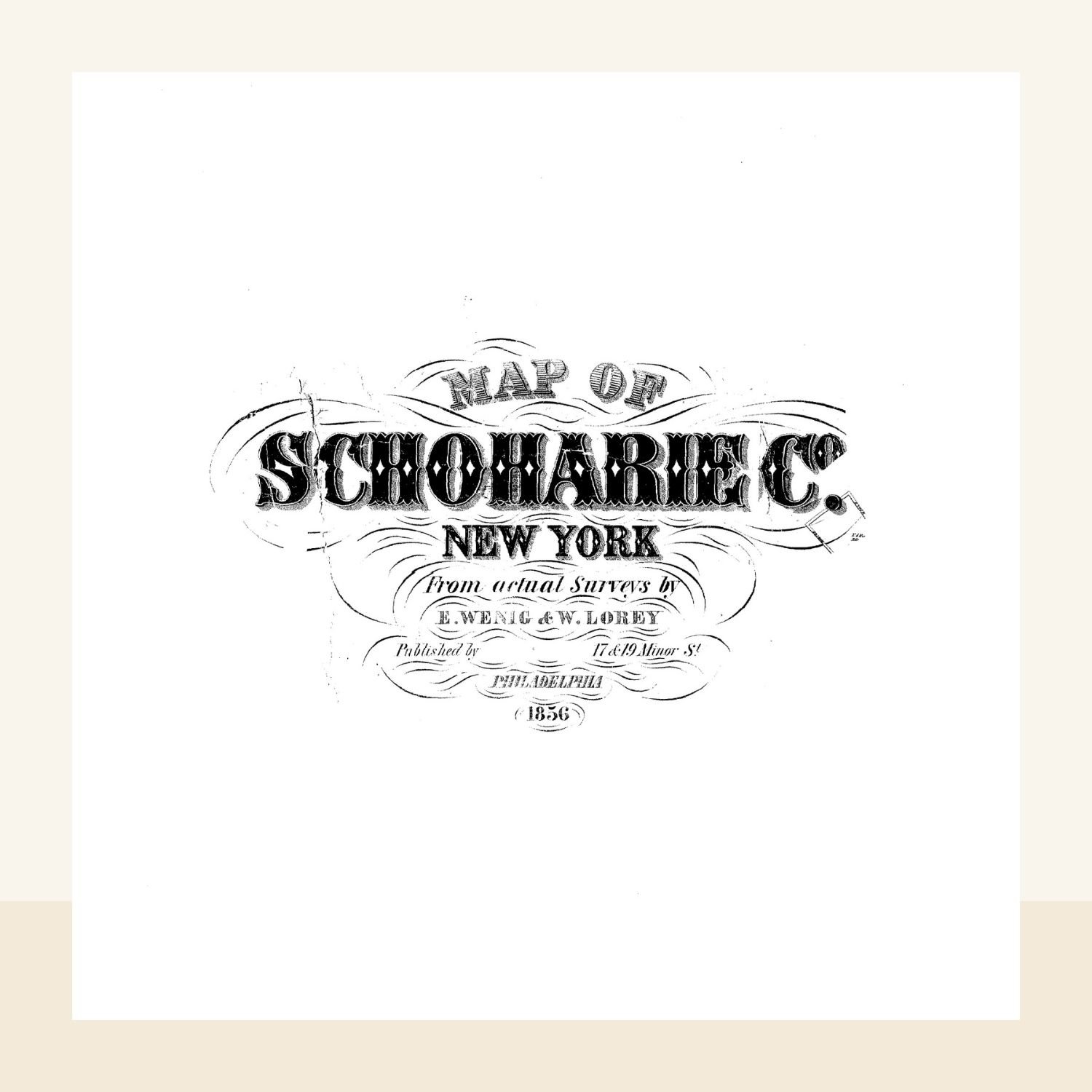
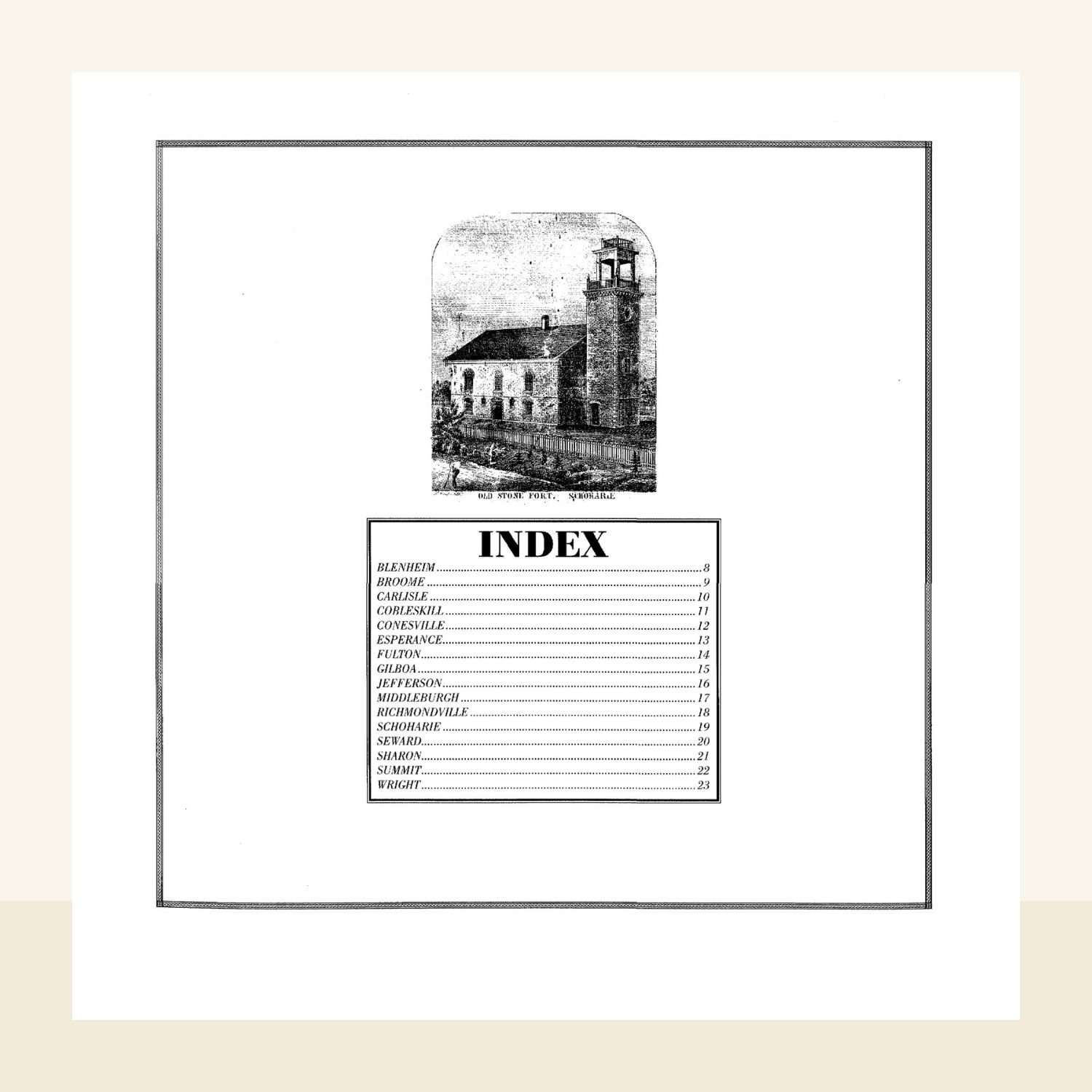
Step back in time with this detailed atlas created from an original 1856 wall map of Schoharie County, New York—the same style once found in one-room schoolhouses and academies throughout the county.
Late Town of Wright Historian Allen Burton carefully cut apart one of these rare maps, allowing it to be scanned and preserved as an atlas for all to study and enjoy.
This edition predates the arrival of the railroads and offers a fascinating glimpse into local life, featuring:
- Every home, business, and property owner across the county
- Unique landmarks not found on later maps, including the Ferry across Schoharie Creek near Sloansville
- A chart of agricultural statistics for researchers and historians
Perfect for anyone researching:
- Historic home or business ownership
- Ancestral connections within Schoharie County
The original wall maps are fragile and difficult to view up close. This atlas makes it possible to handle and explore the details safely and easily, whether for genealogy or local history.
EMAIL ADDRESS
Please double-check that your email address is correct to ensure you receive the download link.
FORMAT
You'll receive a PDF, instant digital download (nothing will be shipped).
Due to the nature of this product, all sales are final.