
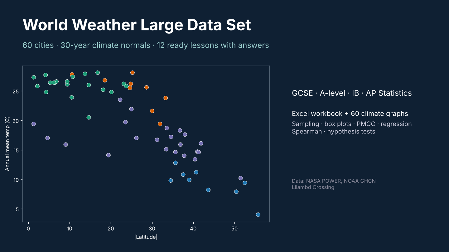
World Weather Large Data Set: 60 Cities, 30-Year Climate Normals + 12 Statistics Lessons with Answers
A real-world large data set for statistics lessons, built from 30-year climate normals (1991-2020) for 60 cities on every continent. - Excel workbook: Cities (22 variables per city: latitude, Koppen class, temperature, rainfall, humidity, sunshine, frost days, warming trend, records), Monthly (60 cities x 12 months), 12 ready tasks, worked answers, sources. - 60 climate graphs (PNG), one per city. - Covers sampling, averages, quartiles and outliers, box plots, scatter and PMCC, regression, Spearman's rank, and a hypothesis test on warming rates. - Works for GCSE, A-level, IB and AP Statistics, and for geography climate units. Data: NASA POWER (public), NOAA GHCN-Daily (public), Natural Earth (public domain). City names and coordinates (c) OpenStreetMap contributors, Overture Maps Foundation (ODbL). Licence: use with your own classes; please do not resell.
Built with our own code from public data; the lesson tasks were drafted with AI help and every answer was computed from the data.
Custom data packs, maps or worksheets for your class: hello@lilambd.com
Missing something? Tell us in one line what data, map or calendar you wish existed — email hello@lilambd.com with subject "Data wish". If enough people ask, we build it, and you get it free.