
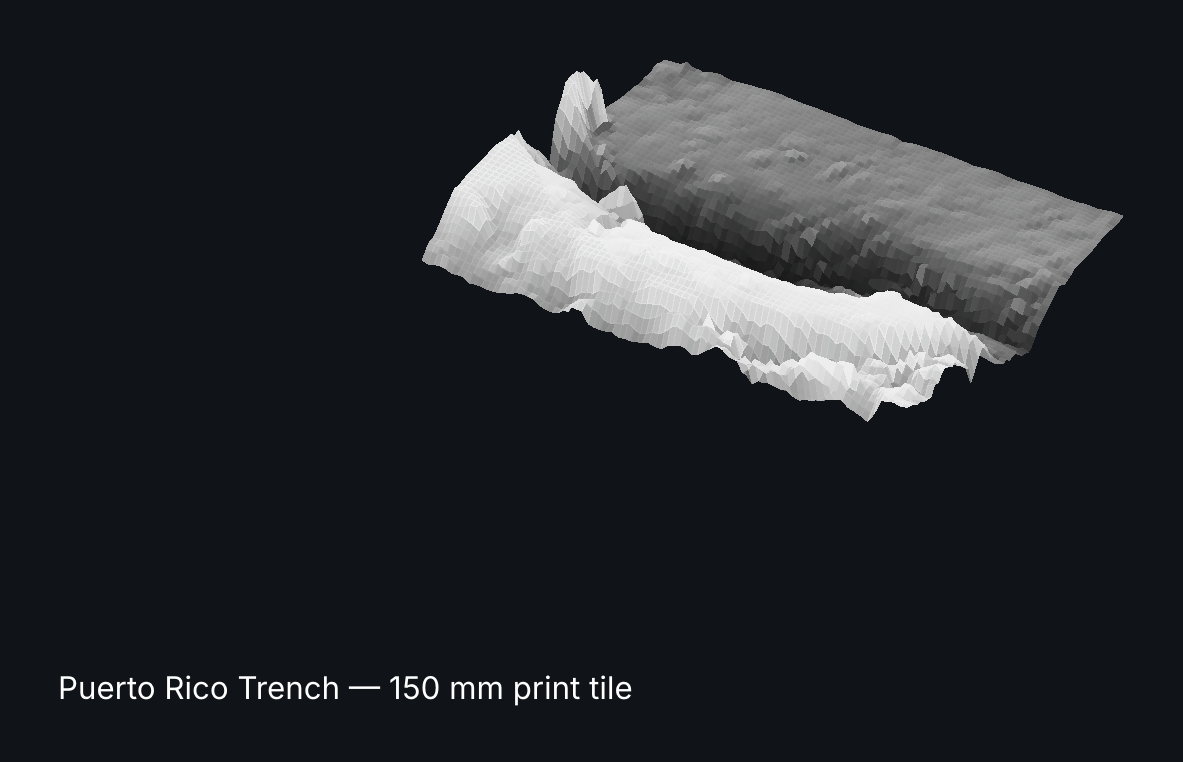
Ocean Deep: Puerto Rico Trench - 150 mm sea-floor tile, 3D printable STL
The deepest point of the Atlantic, about 8,500 metres down. The water is taken away so the real shape of the sea floor stands up.
Tile: 150 mm wide, 4 mm base, about 30 mm relief. Prints flat, no supports. 16-bit heightmap PNG included for CNC, Blender or game engines.
Personal licence: print as many as you like for yourself, gifts and classrooms; up to 10 physical prints a year may be sold. Do not re-share the files.
Files: STL + heightmap + README + previews.
Data: AWS Terrain Tiles (Mapzen/Tilezen), compiling ETOPO1 (NOAA), GMRT, GMTED2010, SRTM and national DEMs. Not affiliated with or endorsed by any data provider.
Not test-printed yet: the geometry is checked watertight and manifold by script, but we have not printed it ourselves.
Made with AI assistance: geometry generated by AI-written code from public datasets (credited in the README). Previews are renders of the real files.
More from Lilambd: Ocean Deep all 6 tiles $19 https://payhip.com/b/8C6XP | Star Lamp pair $12 https://payhip.com/b/viKTG | Earth Lab all 9 + commercial licence $49 https://payhip.com/b/OMj10
Custom trenches, any sky (date + place) or any data skyline as a commission: hello@lilambd.com
Missing something? Tell us in one line what data, map or calendar you wish existed — email hello@lilambd.com with subject "Data wish". If enough people ask, we build it, and you get it free.