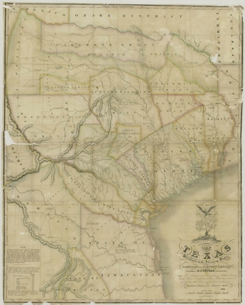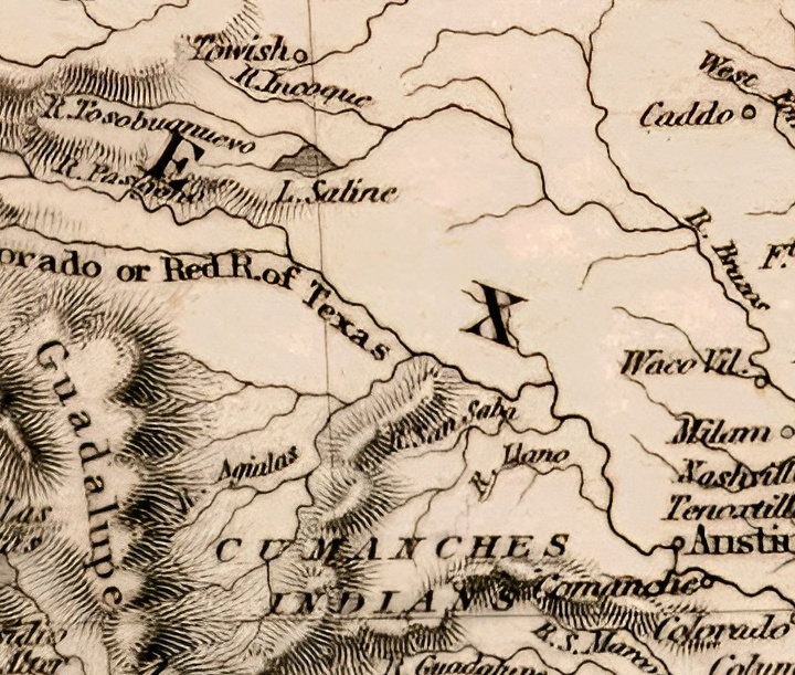


Map of Mexico, California, and Texas 1849
On Sale
$9.99
$9.99
- Use left/right arrows to see all samples *. Map of Mexico, California, and Texas 1849. These maps were scanned or photographed from the only surviving originals 20+ years ago. Some maps may have small broken lines in them from the scanning process but don't always necessarily detract from the overall view of the map. Some maps were damaged and may have corners or other pieces missing. The originals were extremely brittle. This map's resolution is 6912x5318px. Jpeg format. Will print out to approximately 57 in. x 44 in. These images can be manipulated any way you so desire. The images can be taken to a printer like Staples, Office Depot, Michael's, Hobby Lobby or others and blown up and printed and even framed. Framed prints of these maps would be a good seller.