

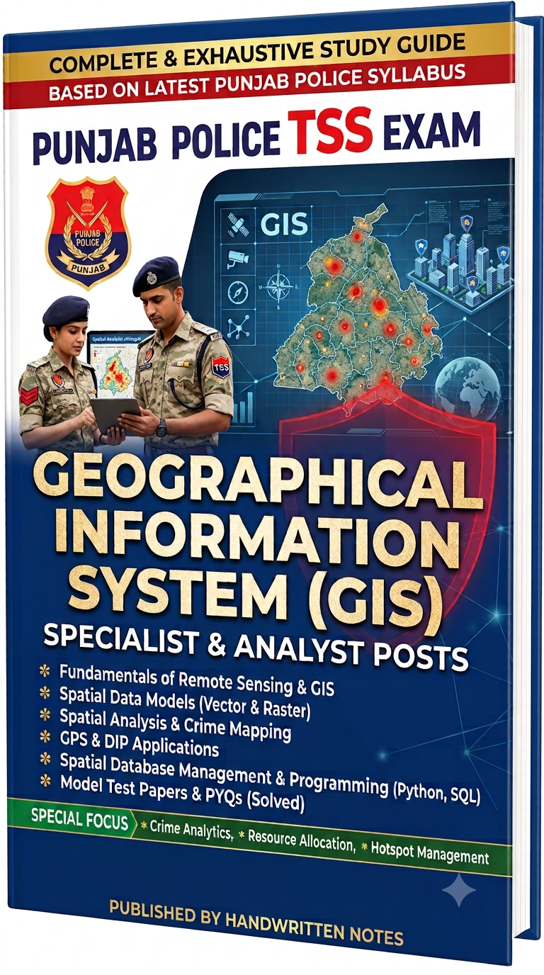
Punjab Police TSS Recruitment Notes - Geographical Information System
PUNJAB POLICE TSS EXAM – COMPLETE GIS & TECHNICAL NOTES
These comprehensive notes are specially prepared for candidates preparing for the Punjab Police TSS Exam. The material covers the complete GIS and technical topics, from basic Geographic Information System concepts to spatial analysis, map design, geospatial data, Python programming, data processing, and SQL databases.
The notes are designed in a simple, structured, and exam-oriented format to make complex technical concepts easier to understand, revise, and apply in practical GIS situations.
TOPICS COVERED:
- FUNDAMENTALS OF GIS
- • Introduction to GIS
- • Components of GIS
- • Spatial and attribute data
- • Geographic and coordinate concepts
- • Coordinate Reference Systems
- • GIS applications
- SPATIAL ANALYSIS
- • Meaning and importance of spatial analysis
- • Spatial queries
- • Buffer analysis
- • Overlay analysis
- • Proximity analysis
- • Density analysis
- • Nearest-neighbour concepts
- • Crime and hotspot analysis
- MAP DESIGN
- • Principles of map design
- • Map elements
- • Map title
- • Legend
- • Scale
- • North arrow
- • Symbols and labels
- • Colour and visual hierarchy
- • Thematic maps
- • Effective map communication
- GIS VECTOR DATA
- • Vector data model
- • Points, lines and polygons
- • Attribute data
- • Shapefiles
- • Shapefile components
- • Vector data applications
- TOPOLOGY
- • Concept of GIS topology
- • Spatial relationships
- • Adjacency
- • Connectivity
- • Gaps and overlaps
- • Common topology errors
- • Importance of topology in spatial analysis
- GIS RASTER DATA
- • Raster data model
- • Cells and pixels
- • Raster resolution
- • Raster datasets
- • Digital Elevation Models
- • Raster analysis
- • Surface and terrain analysis
- • Applications of raster data
- GEOCODING
- • Concept of geocoding
- • Address geocoding
- • Converting addresses into coordinates
- • Geocoding accuracy
- • Matching and reference data
- • Reverse geocoding
- • Converting coordinates into addresses
- • Practical GIS applications
- GEODATABASE
- • Introduction to geodatabases
- • Geographic data storage
- • Feature classes
- • Tables
- • Raster datasets
- • Data organization and management
- • Advantages of geodatabases
- MAPS AND GEOGRAPHIC INFORMATION
- • Creating maps
- • Using GIS maps
- • Analyzing mapped information
- • Working with map layers
- • Geographic information discovery
- • Sharing geographic information
- • GIS-based communication
- PYTHON PROGRAMMING
- • Introduction to Python
- • Variables
- • Numbers
- • Strings
- • Boolean values
- • Lists
- • Tuples
- • Sets
- • Dictionaries
- • Conditional statements
- • for loops
- • while loops
- • break and continue
- • Basic programming concepts
- PANDAS AND DATAFRAMES
- • Introduction to Pandas
- • Series and DataFrames
- • Reading data
- • Writing data
- • Selecting and filtering data
- • Sorting data
- • Grouping data
- • Handling missing values
- • Removing duplicate records
- • Basic data analysis
- CSV FILE HANDLING
- • CSV file structure
- • Reading CSV files
- • Writing CSV files
- • Importing CSV data into Pandas
- • Exporting DataFrames to CSV
- • Managing tabular data
- ETL
- • Extract, Transform, Load
- • Data extraction
- • Data transformation
- • Data loading
- • Data integration
- • Data preparation for GIS
- • ETL workflow
- DATA CLEANSING
- • Missing values
- • Duplicate records
- • Incorrect values
- • Inconsistent formats
- • Data standardization
- • Outlier identification
- • Data validation
- • Improving data quality
- SQL QUERY & UPDATE
- • Introduction to SQL
- • SQL syntax
- • SELECT command
- • INSERT command
- • UPDATE command
- • DELETE command
- • WHERE clause
- • ORDER BY
- • DISTINCT
- • IN
- • BETWEEN
- • LIKE
- • NULL values
- SQL AGGREGATE FUNCTIONS
- • COUNT()
- • SUM()
- • AVG()
- • MIN()
- • MAX()
- • GROUP BY
- • HAVING
- • Grouped data analysis
- SQL NESTED QUERIES
- • Subqueries
- • Single-row subqueries
- • Multiple-row subqueries
- • EXISTS
- • IN with subqueries
- • Correlated subqueries
- • Practical query examples
- SQL INDEXES & QUERY PERFORMANCE
- • Database indexes
- • Creating indexes
- • Unique indexes
- • Composite indexes
- • Advantages of indexes
- • Disadvantages of excessive indexing
- • Query performance
- • Indexes for searching and joins
- GIS + PYTHON + SQL
- • Integration of GIS and programming
- • GIS data processing using Python
- • Tabular data analysis using Pandas
- • Database querying using SQL
- • Combining spatial and attribute data
- • GIS automation
- • Police and crime mapping applications
- EXAM-STYLE MCQs
- • 150+ practice questions
- • Four options for each question
- • Correct answers
- • Conceptual questions
- • Practical questions
- • Basic to moderate difficulty
- • Revision-oriented questions
PURPOSE OF THESE NOTES:
These notes are intended to provide a single, organized study resource for the GIS and technical portion of the Punjab Police TSS Exam. They combine theoretical concepts, practical GIS knowledge, programming fundamentals, data handling, and database concepts in one place.
The material is particularly useful for understanding how GIS is used to collect, store, process, analyze, visualize, and share geographic information, along with the Python, Pandas, ETL, and SQL skills required for modern GIS and data-analysis workflows.
IMPORTANT:
Candidates should focus not only on memorizing definitions but also on understanding practical applications, relationships between GIS concepts, data models, spatial analysis techniques, Python data handling, and SQL query logic.
This complete study material can be used for:
• Concept building
• Detailed study
• Quick revision
• Practical understanding
• MCQ practice
• Technical exam preparation
• Last-minute revision