

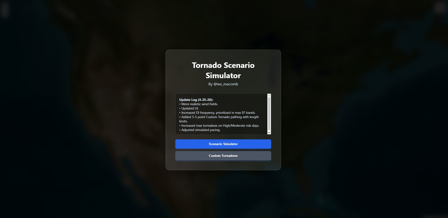


Tornado Scenario Simulator
On Sale
$2.49
$2.49
Tornado Scenario Simulator
Purchase includes: A digital access key and direct link to the persistent browser-based simulation environment.
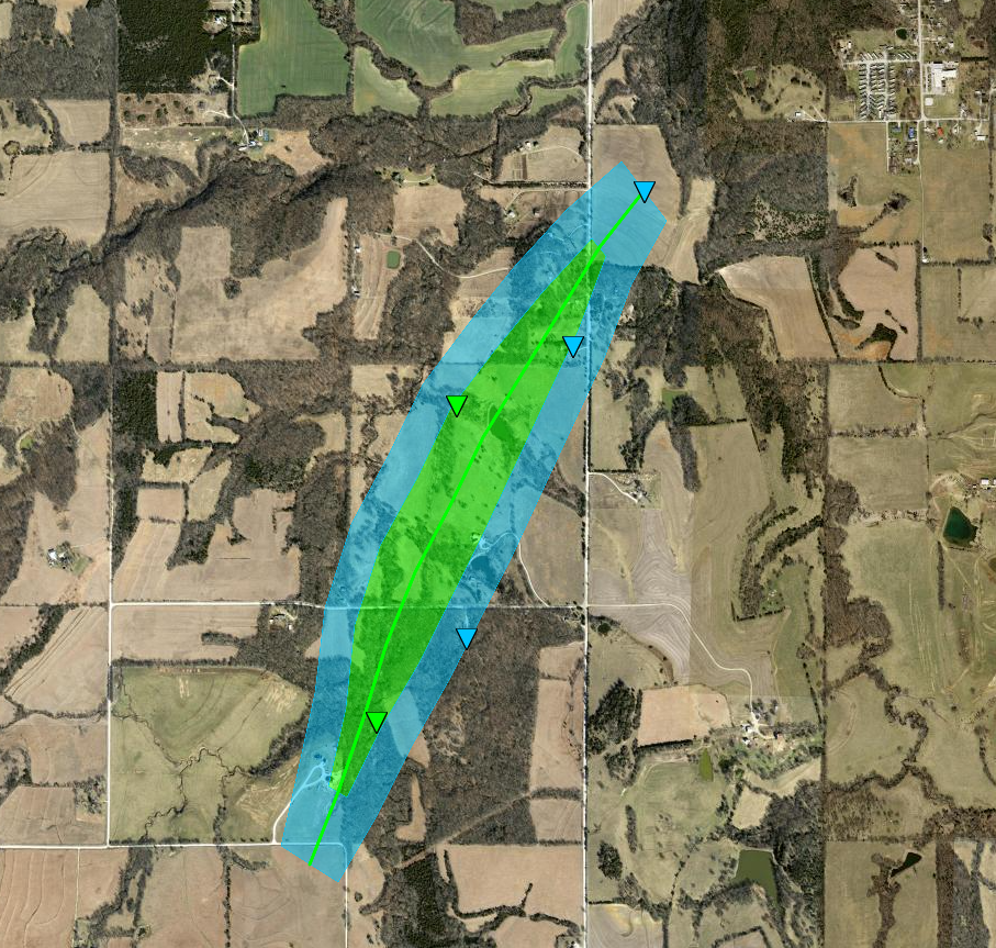
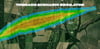
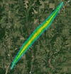
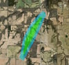
The Tornado Scenario Simulator is a high-fidelity meteorological sandbox designed for generating, analyzing, and visualizing procedural storm tracks across high-resolution, real-world geography. Utilizing advanced geometric modeling and Turf.js sine-wave tapering, this tool simulates complex storm lifecycles, authentic wind intensity tiers, and localized damage swaths.
NEW: Outbreak Evolution Features (Update 4-27-26)
- Mesoscale Discussions (MDs): Real-time generation of variable-shape severe weather boundaries. High-intensity outbreaks now feature dashed "Red Box" MDs that outline the primary threat area.
- Large Hail Simulation: New hail report engine that spawns realistic diamond-icon reports (0.75" to 4.50") based on the storm's peak intensity and the day’s risk category.
- Outbreak Logic: Moderate and High-Risk days now feature "Targeted Placement," where tornadoes spawn logically within the risk boundary rather than randomly across the continent.
- Enhanced Custom Pathing: Waypoint plotting has been expanded from 5 points to a massive 20-point system, allowing for long-track, multi-city pathing with realistic heading fluctuations.
Core Simulation Engine
- Procedural Path Logic: Storms feature authentic headings, randomized speed fluctuations, and path "wobbles" to simulate natural meteorological movement.
- Dynamic Wind Fields: Intensity-coded polygons (EF0–EF5) visualize the physical scale. High-end events generate massive "wedge" formations, while lower-end events maintain narrow, "rope" tracks.
- Risk-Governed Scenarios: Simulations are dictated by Marginal through High Risk categories, controlling the frequency of touchdowns and the max potential EF-rating of the event.
- Damage Indicators (DIs): Real-time reports spawn with randomized scatter logic, ensuring indicators populate realistically throughout the wind bands.
- Triangles: Tornado-specific intensity damage (EF0–EF5).
- Circles: Peripheral straight-line thunderstorm wind damage (TSTM).
- Diamonds: Large hail reports (HAIL).
Interactive Tools
- Scenario Area Placement: Click anywhere on the map to "center" a random outbreak over a specific city or neighborhood.
- Multi-Layer Mapping: Toggle between high-resolution Satellite Imagery, Dark Mode, and Light Mode to analyze damage swaths against terrain and infrastructure.
- Data Overlays: Toggle-able visibility for Wind Fields, Damage Indicators, Hail Reports, and Mesoscale Discussions.
Usage Instructions
- Generate: Launch a random risk-based outbreak or use "Select Scenario Area" to target a specific region.
- Analyze: Watch the storm lifecycle evolve from a narrow EF-0 touchdown into a jagged, peak-intensity wedge.
- Review: Inspect individual damage and hail markers for estimated wind speeds and stone sizes.
Disclaimer: This tool is for educational and entertainment purposes only. It is not a real-time weather tracking or life-safety tool. Always defer to official local weather authorities (NWS/NOAA) during actual severe weather events.