
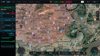
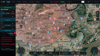
UAV Ground Control Station App Source Code
QGR GCS — Smart Ground Control Station
AI Vision • Swarm Control • Automated 3D Mission Planning
1. PRODUCT OVERVIEW
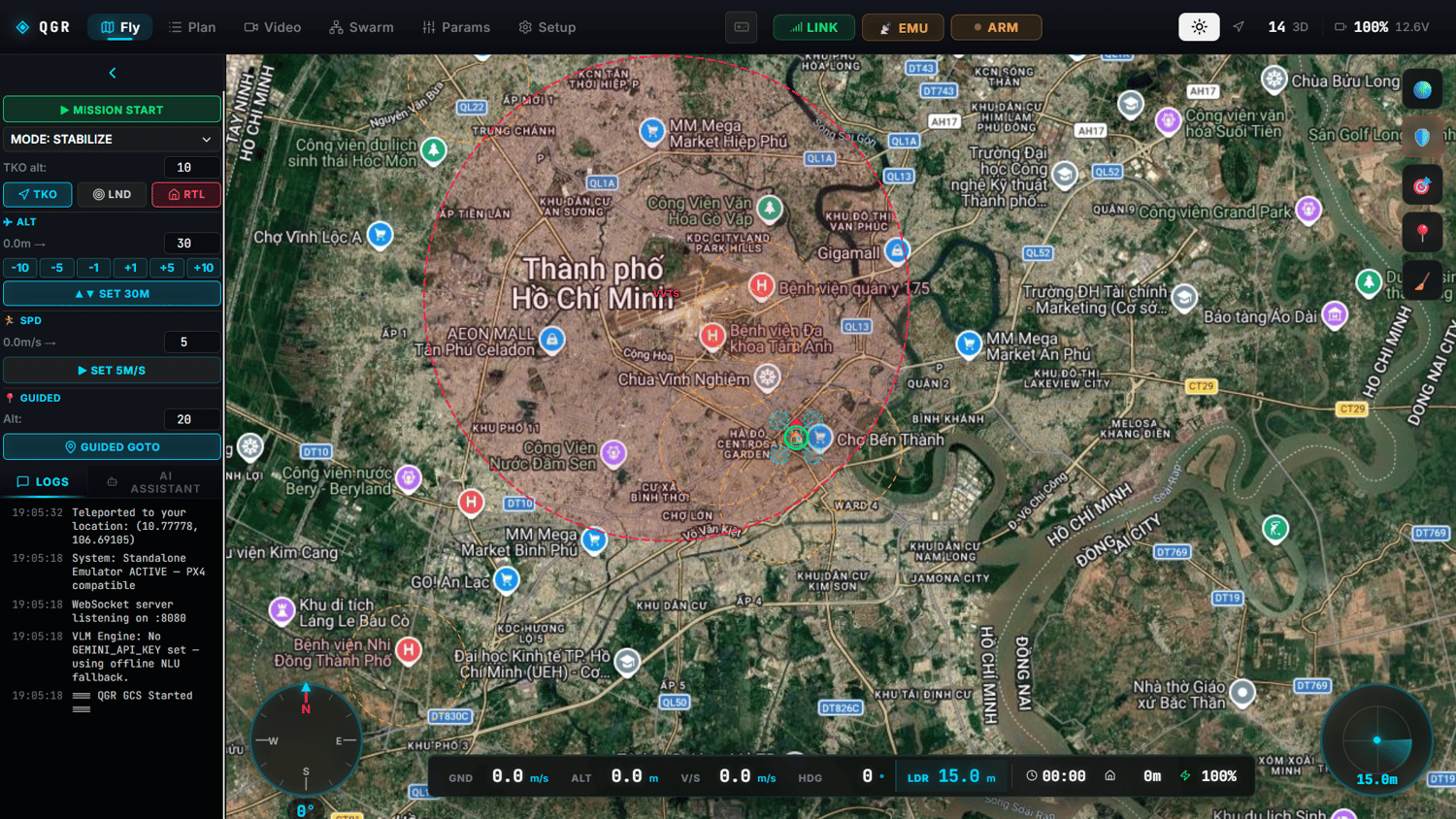
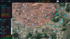
QGR GCS is a next-generation Ground Control Station (GCS) solution built for personal, industrial, and mission-critical UAV/drone systems. Engineered on a modern, decoupled multi-threaded architecture, QGR GCS unifies 3D terrain mapping, real-time AI target recognition, swarm control (Swarm Dynamics), and an intelligent AI co-pilot (VLM Co-Pilot) — all in a single, mission-ready platform.
2. CORE FEATURES
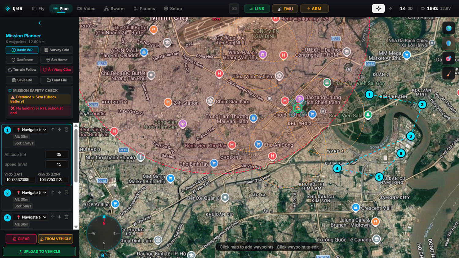
2.1 Autonomous 3D Mission Planner & Terrain Awareness
- Offline DEM Database — Built-in offline terrain elevation data lets the UAV compute safe terrain-following altitude even with zero internet connectivity.
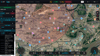
- Auto Survey Grid — Automatically generates optimized zigzag flight paths for surveying, precision agriculture, and power-line inspection.
- No-Fly Zone Engine — Loads and auto-validates against 70,000+ restricted airspace zones for absolute flight-corridor safety.
- Smart RTH & Flight-Path Cleanup — Automatically optimizes the Return-to-Home route and clears flight-path data after every Arm/Disarm cycle.
2.2 AI Edge Computer Vision & VLM Co-Pilot
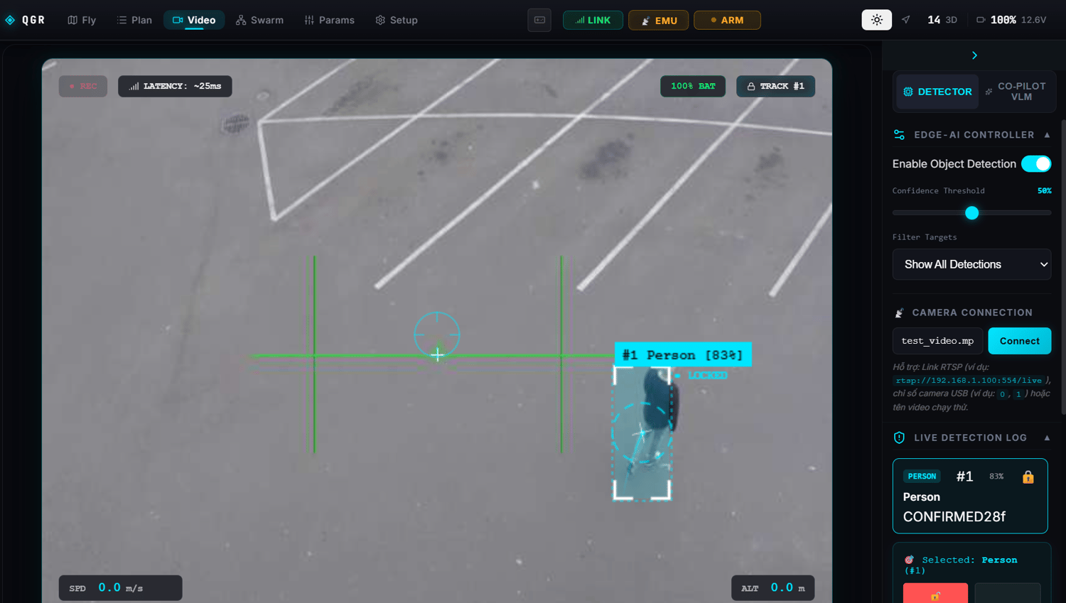
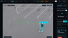
- Real-Time Target Detection & Tracking (YOLOv8 + ByteTrack) — Automatically detects and assigns persistent Track IDs to people, vehicles, wildlife, or power-grid insulator faults.
- Smart Target Lock (HUD Target Lock) — Locks onto targets with an auto-rotating reticle, predicts heading (velocity vector), and computes target speed (m/s).
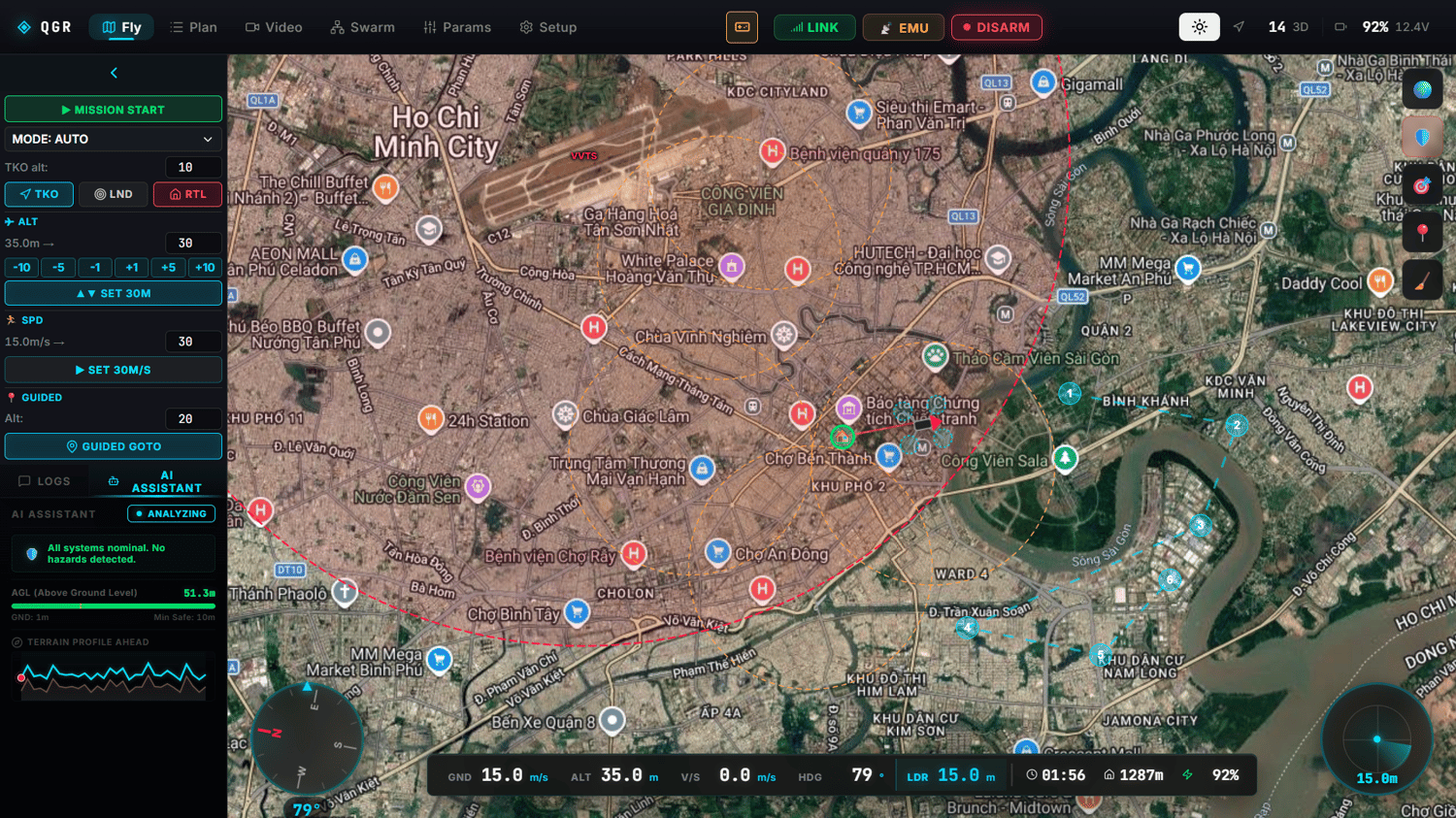
- VLM Co-Pilot (Google Gemini & Offline Fallback) — An onboard AI aviation assistant that analyzes camera feeds, flags anomalies in real time, and responds to natural-language pilot commands.
2.3 Swarm Intelligence Engine
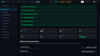
- Multi-UAV Swarm Operations — Simultaneously manage multiple UAVs from a single control screen.
- Formation & Flocking Algorithms — Automatically maintains flight formations (V-shape, line, grid), auto-negotiates task allocation, and performs collision avoidance across the swarm.
2.4 Hardware & Payload Monitoring
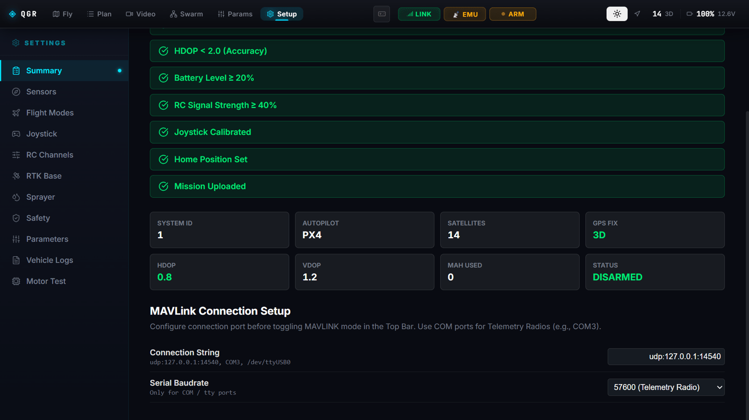
- PX4 & ArduPilot Compatible — Connects via standard MAVLink protocol over Serial (COM/Telemetry Radio) or UDP network.
- NTRIP RTK Base Station Integration — Centimeter-level positioning accuracy for surveying and precision spraying.
- Sprayer / Payload Controller — Adjusts flow rate (L/min), auto-doses based on flight speed, and manages servo channels.
- Sensor Calibration Wizard — Guided 3D calibration for gyroscope, accelerometer, compass (magnetometer), barometer, airspeed sensor, and joystick.
- Emulator Fault Injection — Simulates critical failures (emergency battery drain, GPS loss, LiDAR obstruction, compass drift) for failsafe procedure training.
3. PERFORMANCE & KEY ADVANTAGES
Dual-Channel Zero-Lag Architecture Binary video stream (/video) and telemetry JSON stream (10Hz+) run on fully separated channels — completely eliminating web lag and stutter even while processing high-quality video and live flight data simultaneously.
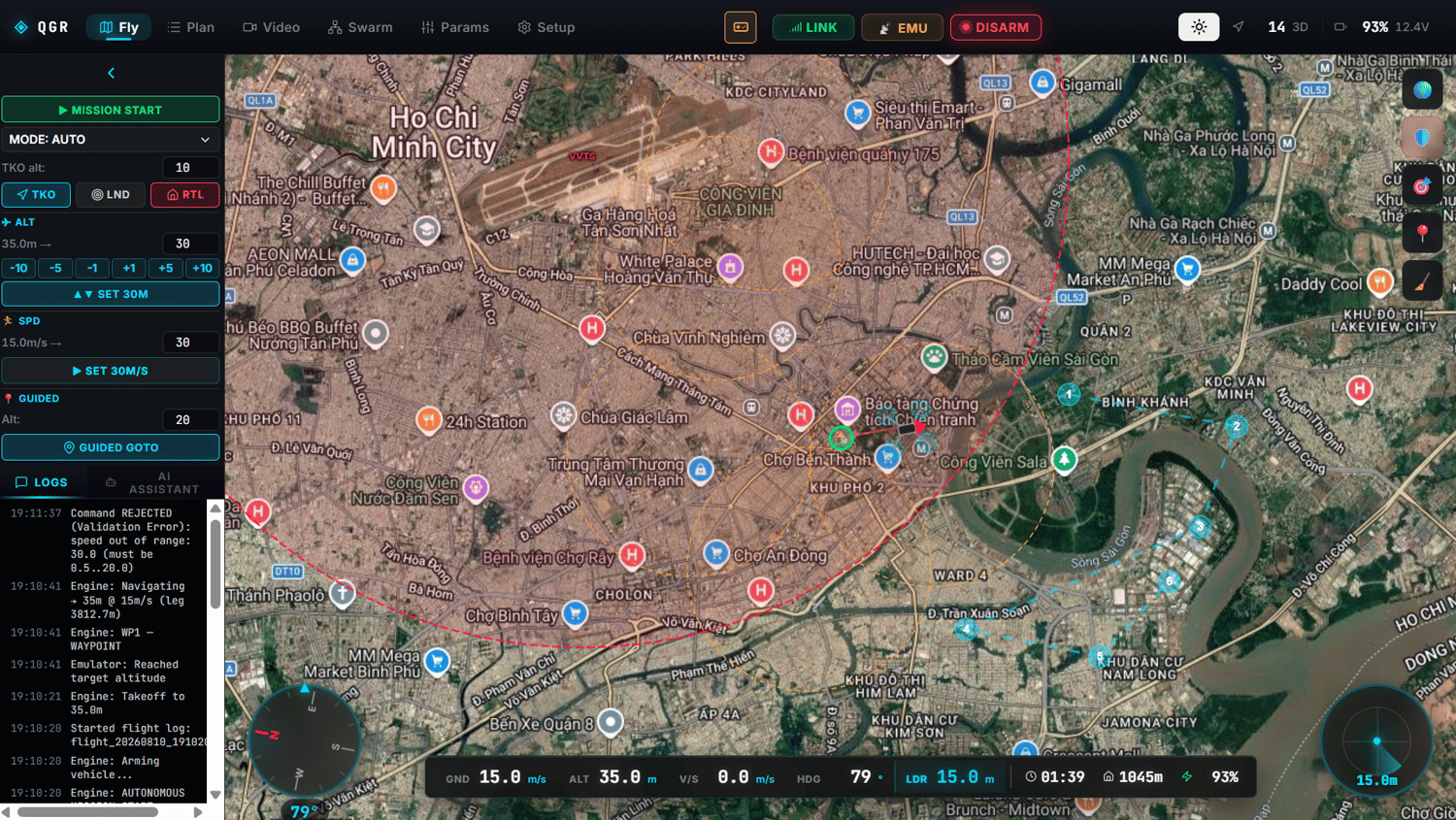
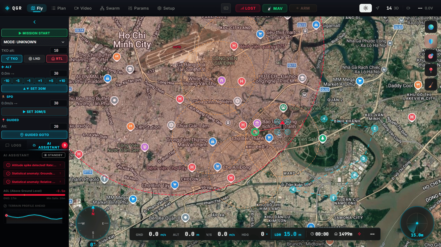
Modern Cybernetic Military HUD Glassmorphism styling, glowing cyan borders, and ultra-smooth transitions. A UI/UX designed so pilots can read speed, altitude, battery, and RC signal at a single glance.
Built-in Standalone Emulator A full PX4-standard UAV physics simulation runs directly in the backend — no need for heavyweight external tools like Gazebo/SITL. Ideal for sales demos and pilot training on the fly.
Full Offline Readiness Operates 100% in remote areas with no radio or internet coverage, powered by local DEM data and offline NLU fallback.
4. MARKET & REAL-WORLD APPLICATIONS
- Smart Agriculture — Automated spraying, crop area measurement
- Infrastructure & Grid Inspection — AI-based insulator crack detection, corridor erosion monitoring
- Security & Reconnaissance — Border surveillance, search & rescue (SAR) with person/vehicle recognition and target lock
- Drone Delivery & Logistics — Distributed swarm flight with automatic collision avoidance
- Aerospace Education & Research — Platform for flight-control algorithm research, AI vision, and swarm UAV studies
QGR GCS: enterprise-grade UAV mission control — built for real deployment, not just a demo.