
Hydrological Analysis in QGIS with GRASS GIS – Basic Operational Guide
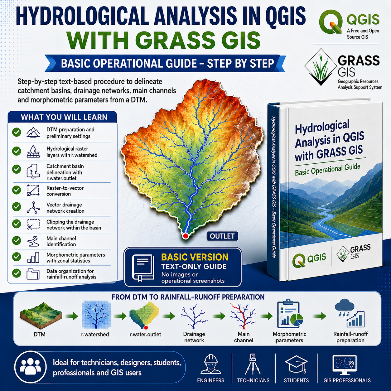
This Basic operational guide provides a step-by-step workflow for performing a morphological analysis in QGIS aimed at supporting subsequent hydrological and hydraulic assessments.
The guide describes how to use GRASS GIS tools integrated in QGIS to process a DTM, identify the drainage network, delineate catchment basins related to specific outlet sections, convert raster outputs into vector layers, define the main channel of the basin and extract the main morphometric parameters required for the subsequent application of a rainfall-runoff model.
The Basic version is provided as a text-based guide and does not include images or operational screenshots. It is intended for technicians, designers, students, GIS users and professionals looking for a clear, structured and practical QGIS workflow.
The guide also includes operational notes on saving temporary layers, managing basins and drainage networks, calculating elevations through zonal statistics and organizing the final data to be preserved.
For users interested in a version including images, example projects, recommendations on the most suitable DTMs or support for solving more complex technical issues, the author may be contacted.