


Mount Rainer National Park
On Sale
$22.00
$22.00
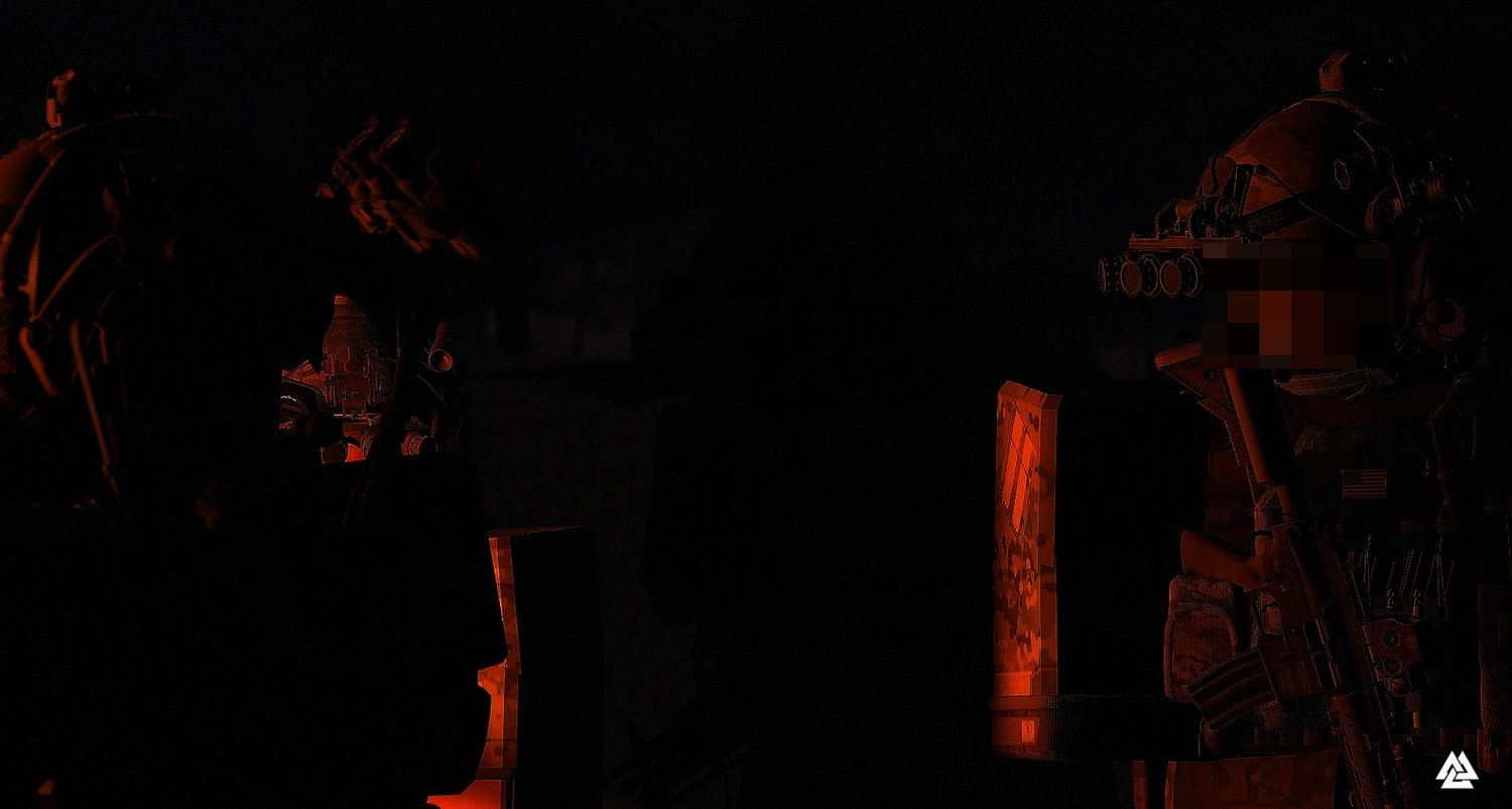
10x10k FTX-Style "Tactical Operations Map", designed for arctic tactical scenario training.
Key Features:
- BLUFOR Camp Spawn Area
- OPFOR Spawn Area
- Three Raidable Villages
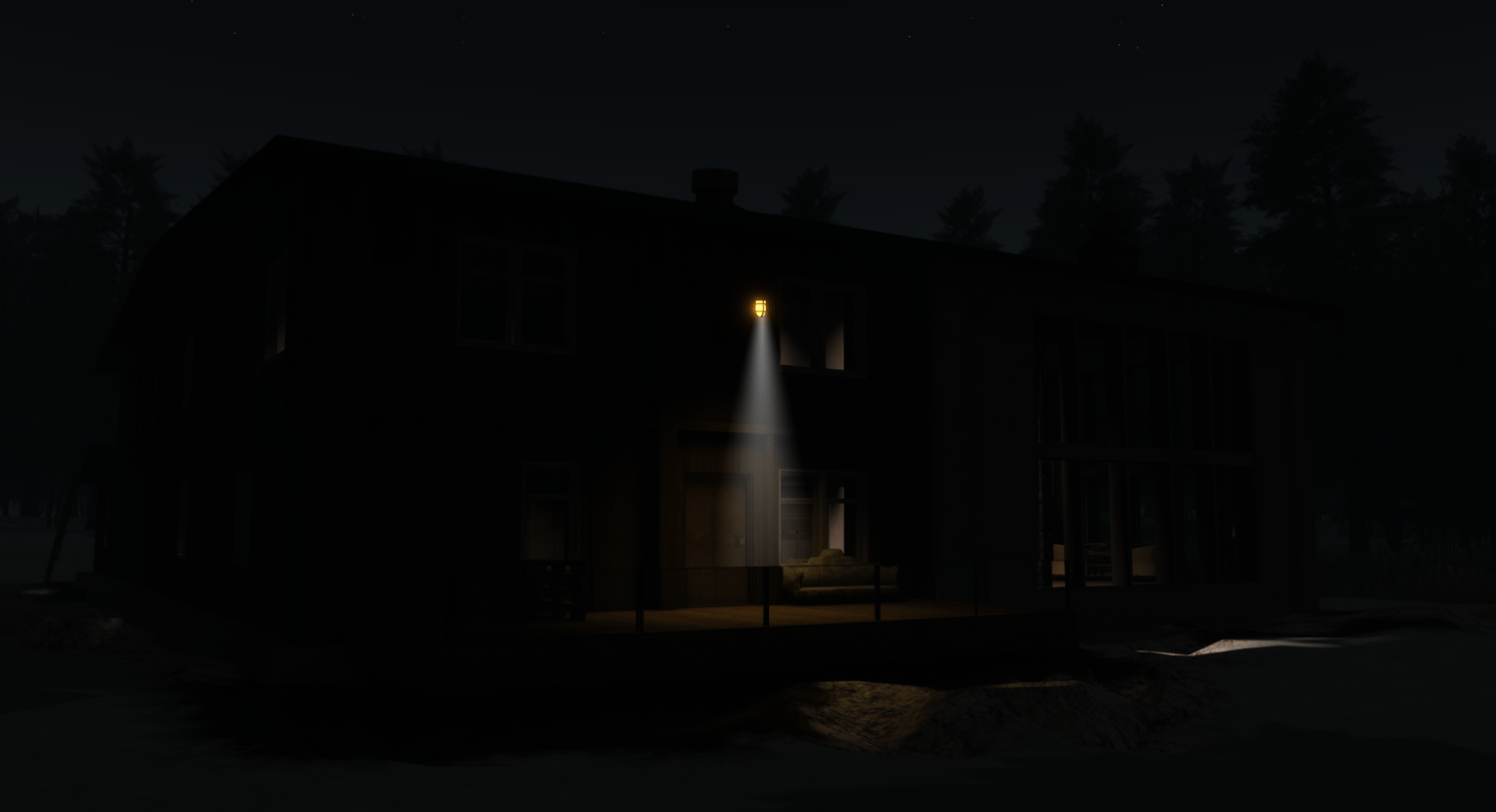
- Three-Story Mansion (interactable lighting system)
Ideal for Close-Quarter Battle (CQB) exercises and long-range firefights.
This map is best utilized for military training, tactical simulations, and combat scenario exercises.
"Mount Rainier National Park, a 369-sq.-mile Washington state reserve southeast of Seattle, surrounds glacier-capped, 14,410-ft. Mount Rainier. Atop 6,400-ft.-high Sunrise, the highest point in the park reachable by car, visitors can admire Rainier and other nearby volcanoes, including Mount Adams. The park’s 5,400-ft.-high Paradise overlook offers mountain views, summertime wildflower meadows and hiking trailheads."