

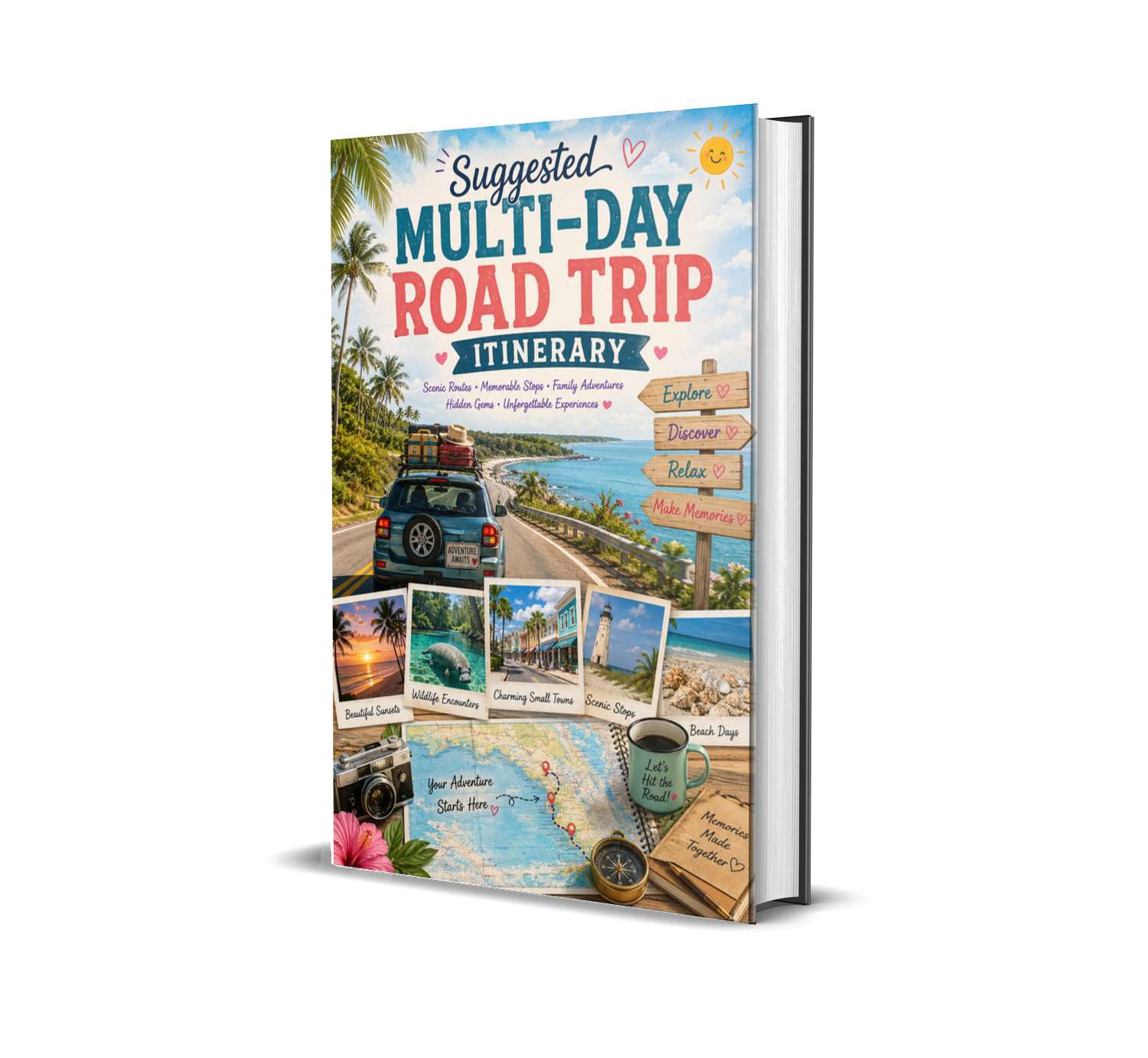
Printable Travel Maps
The road trip maps in this guide were created to help you visualize each journey, understand driving routes, and discover how Florida’s hidden destinations connect together.
Rather than simply listing locations, these maps are designed to inspire real exploration — helping you see how peaceful coastal towns, tropical islands, crystal-clear springs, scenic backroads, and hidden gems can all become part of one unforgettable adventure.
Each map highlights:
- suggested driving routes,
- featured destinations,
- nearby major cities,
- scenic coastal connections,
- and easy-to-follow travel flow between stops.
The maps are intentionally simplified to keep planning easy and enjoyable while still helping travelers build flexible road trip experiences around:
- beaches,
- wildlife,
- sunsets,
- kayaking,
- shelling,
- small-town discovery,
- and relaxed Florida exploration.
Some routes are perfect for:
- weekend escapes,
- romantic getaways,
- family vacations,
- retirement adventures,
- photography trips,
- or slow-paced coastal journeys.
Use these maps as inspiration rather than strict schedules.
The best Florida adventures often happen when you leave room for:
- unexpected discoveries,
- scenic detours,
- hidden cafés,
- quiet beaches,
- local conversations,
- and sunsets you never planned to stop for.
Sometimes the road between destinations becomes just as memorable as the destinations themselves.