


North Carolina Land Navigation Map
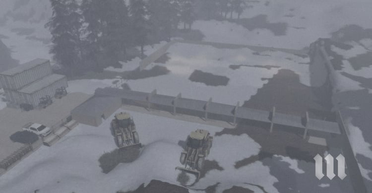
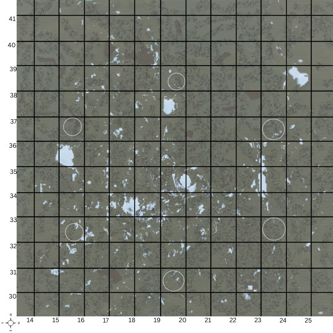
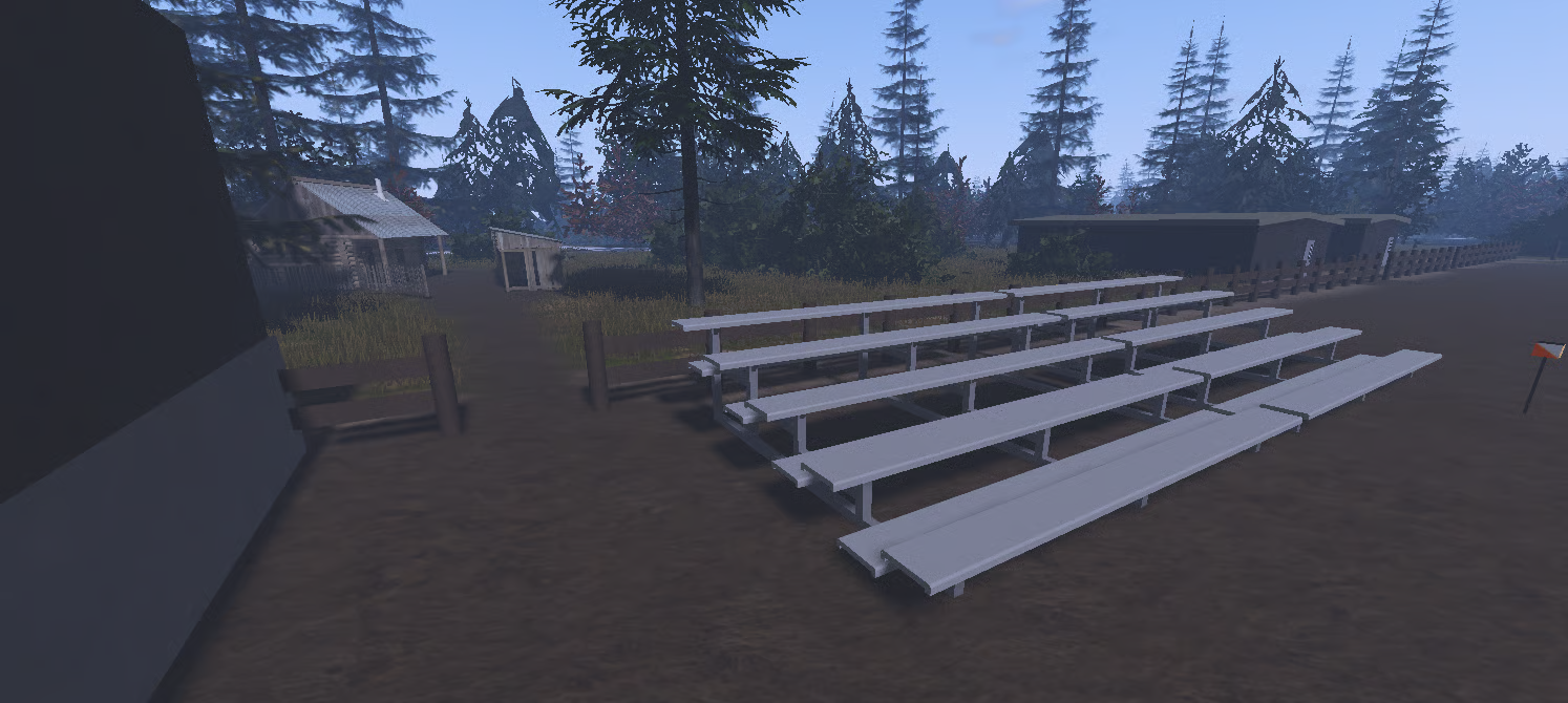
This North Carolina–based Land Navigation map is a large-scale, terrain-focused environment designed for realistic training and unit operations. Spanning 10,000 x 13,000 studs, the map offers extensive land features ideal for land nav courses, patrol movement, and navigation training.
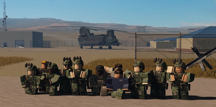
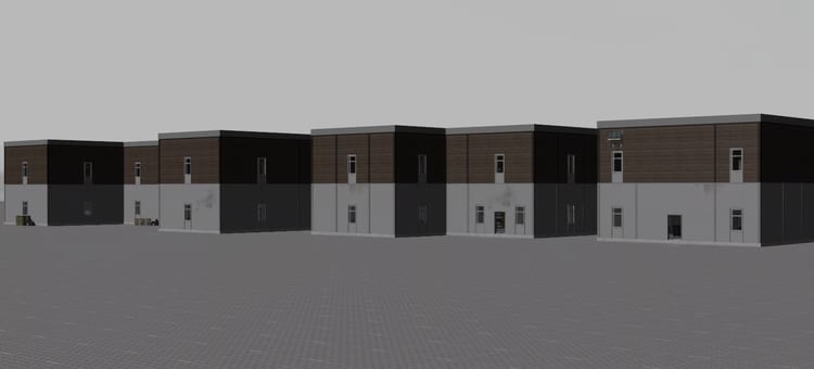
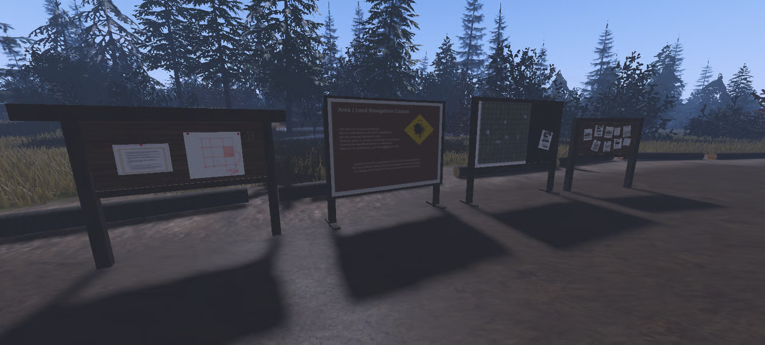
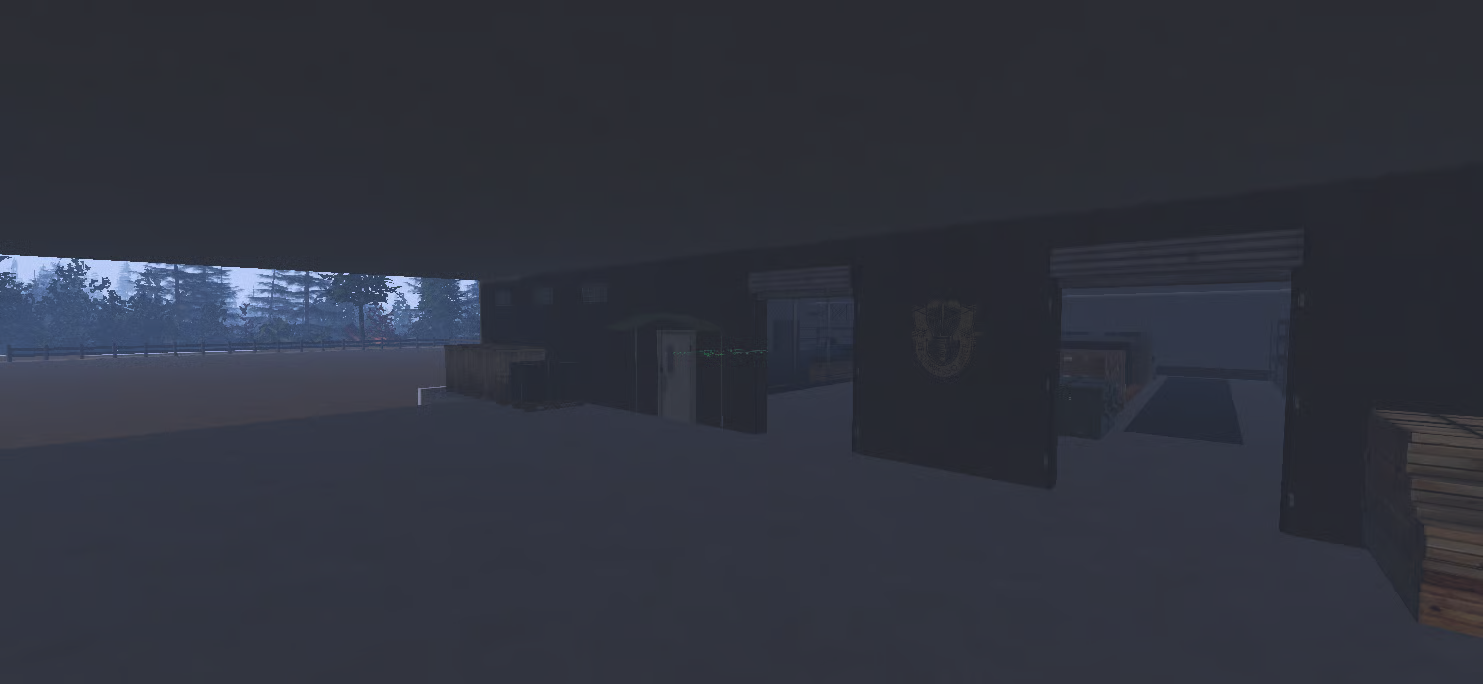
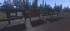
The terrain is carefully structured to support compass work, point-to-point navigation, and terrain association, making it an excellent choice for units focused on realism and skill development. A dedicated gear room is included to allow organized loadouts and smooth pre-operation preparation.
This map has been tested and used by multiple units and is recognized as a high-quality land navigation environment for both training and operational scenarios. Whether used for assessments, qualification events, or routine exercises, it provides a reliable and immersive land nav experience.
Key Features:
- Large 10K x 13K North Carolina–inspired terrain
- Built specifically for land navigation training
- Realistic elevation, terrain flow, and navigation challenges
- Gear room for staging and equipment setup
- Proven use by multiple active units
- Ideal for training, evaluations, and operations