Midway, June 4, 1942: Battle Map Poster (Printable)
On Sale
$5.00
$5.00
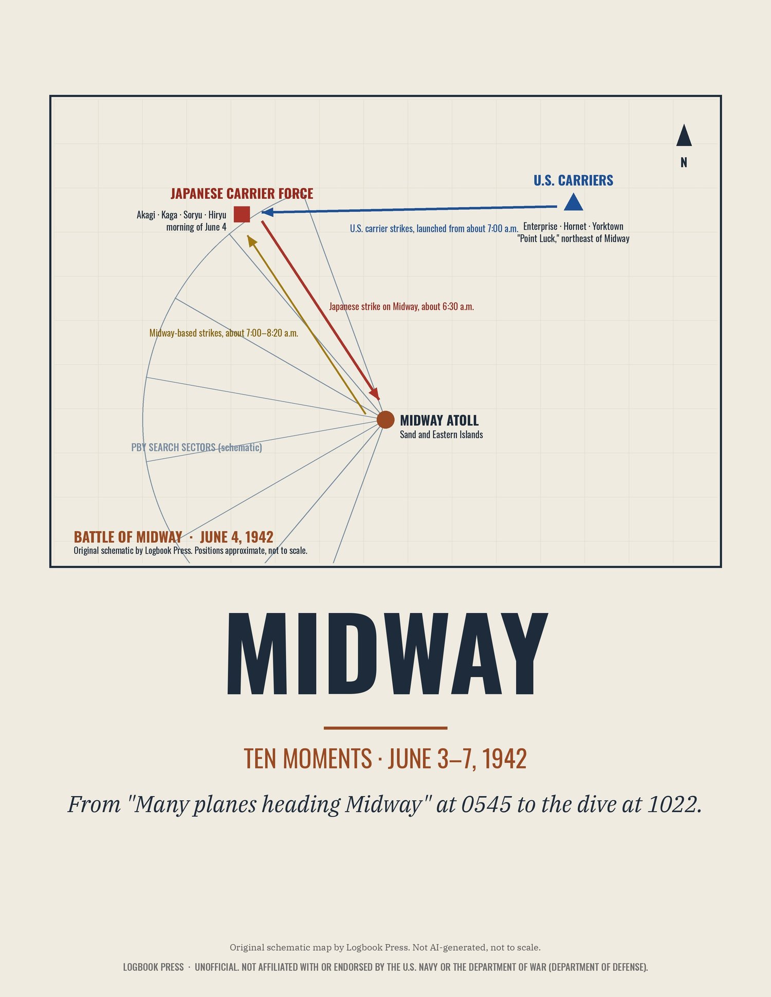
An original schematic map of the morning of June 4, 1942: Midway Atoll, the PBY search sectors, the Japanese carrier force to the northwest, the American carriers at "Point Luck," and the strikes between them. Drawn by Logbook Press (not AI-generated). Schematic and not to scale.
Instant digital download: PNG + PDF at 18x24 in (200 dpi) and 8.5x11 in (300 dpi). Print at home or at any print shop. Digital file only; nothing ships. License: personal use. Map, typography and layout © Logbook Press.
Unofficial. Not affiliated with or endorsed by the U.S. Navy or the Department of War (Department of Defense). Logbook Press is an independent history imprint.