



Napoleonic-era map of Munich + 2 bonus engraving
On Sale
€89.00
€89.00
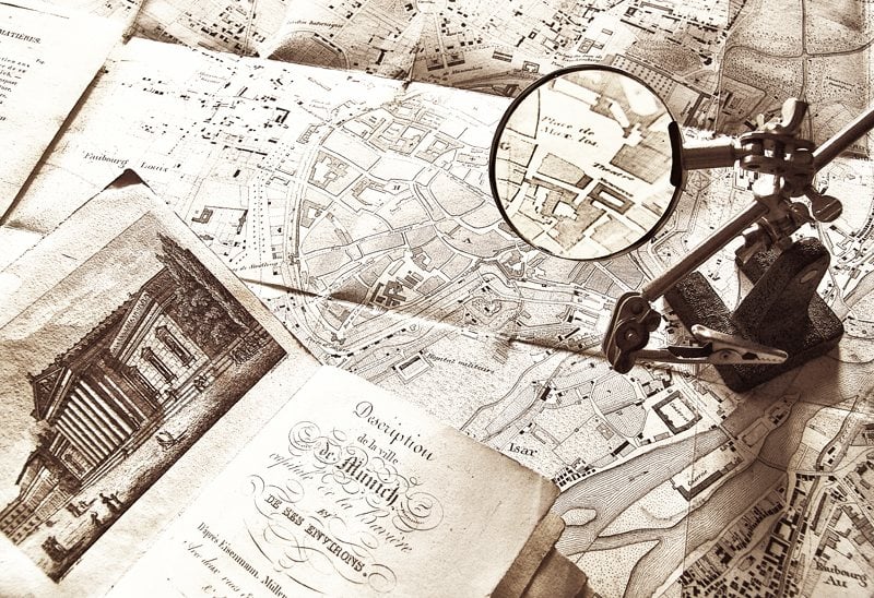
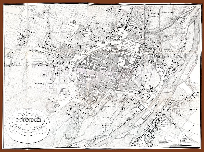
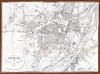
Rare Napoleonic-era map of Munich, digitally reconstructed from an original folded insert found in a contemporary printed booklet (10×12 cm).

Unfolding the insert I saw a Map of Munich dated 1820 with French toponyms (c’est-à-dire Rue de Kaufing, Porte d’Isar, Place de Charles…)
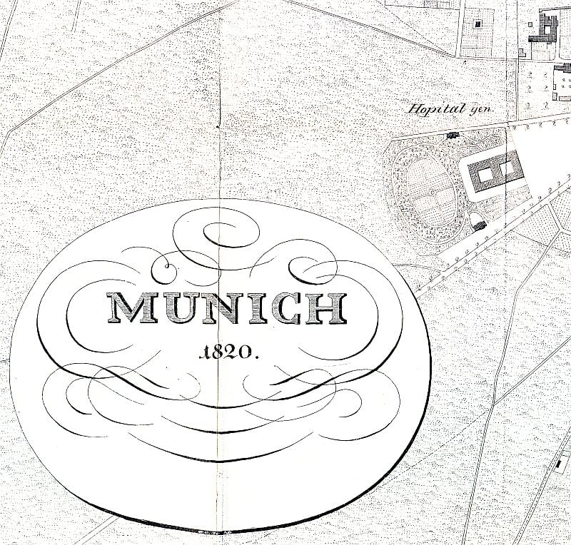
The stitching, the restoration, the upsizing without loss were quite a challenge, but nevertheless voilà the digital map in extra large format 10000×7433 pixels 300 dpi
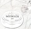
As images, here you see here a thumbnail of the whole map and a detail of the enlarged digital one restored and prepared for contemporary use.
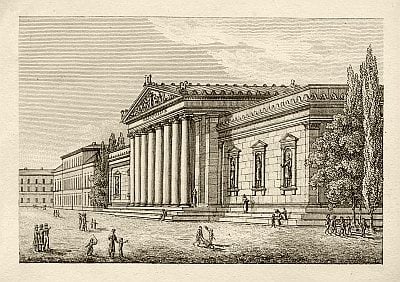
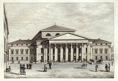
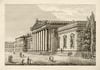
As a bonus, I added two Munich engravings found in the same booklet also digitally restored in high resolution format:
- 1820 view of the Gliyptothek in Munich with its classical portico and niches with statues, bombed in the World War II and then rebuilt as it was before. Inside a great collection of Greek and Roman sculptures. See a thumbnail here.
- The National Theatre in Munich, with its portico and triangular pediment, was destroyed in WWII and after rebuilt. Engraving, 1820 circa. Thumbnail also here.
Rare Munich map 1820 + 2 hi-res engravings of the same period in zip package of 111 MB
Any applicable taxes will be calculated at checkout.