
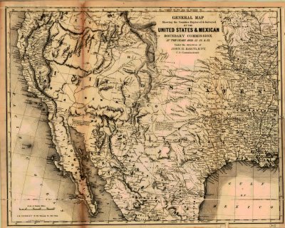
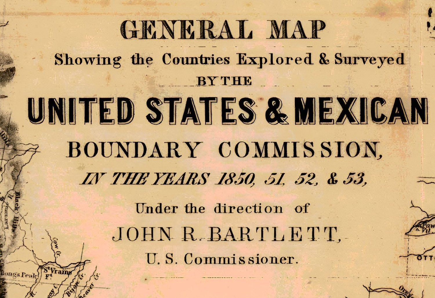
General Map Showing the Counties Explored and Surveyed by the United States and Mexican Boundary Commission in years 1850-51-52-53 under the direction of John R. Bartlet 1850-1853
On Sale
$9.99
$9.99
General Map Showing the Counties Explored and Surveyed by the United States and Mexican Boundary Commission in years 1850-51-52-53 under the direction of John R. Bartlet 1850-1853. Jpeg format, resolution 6500x5208px.