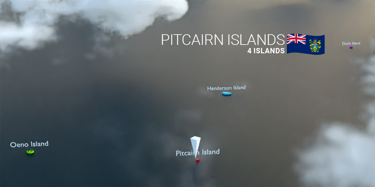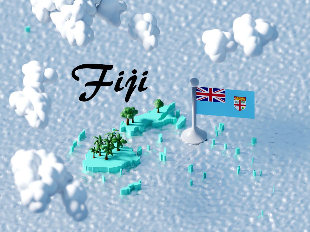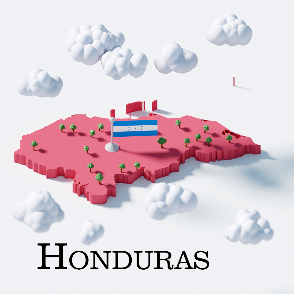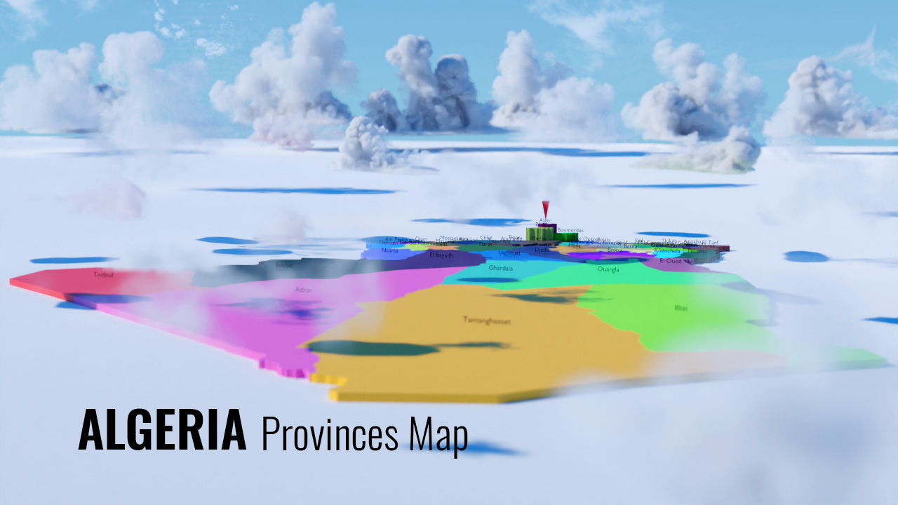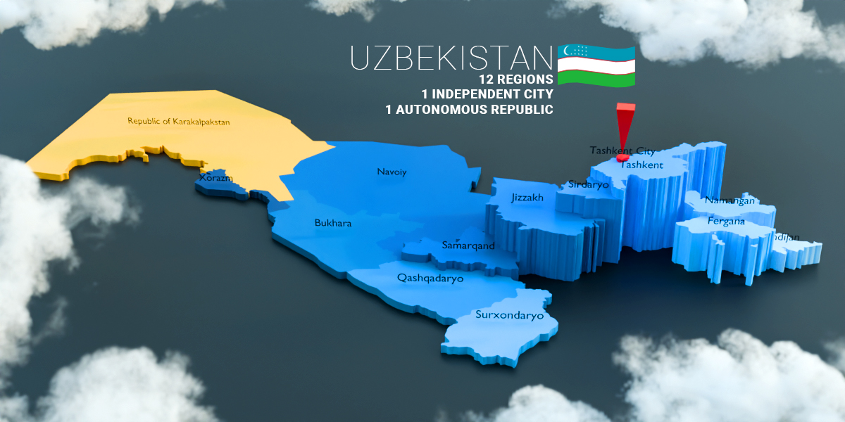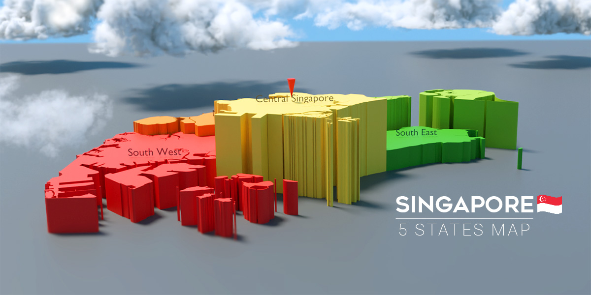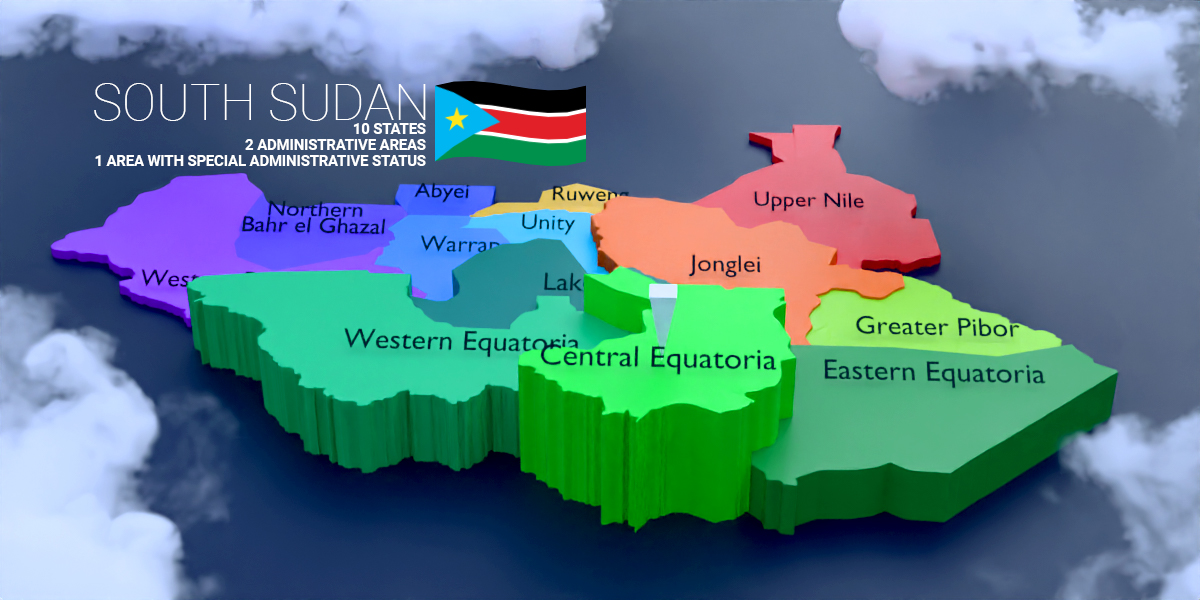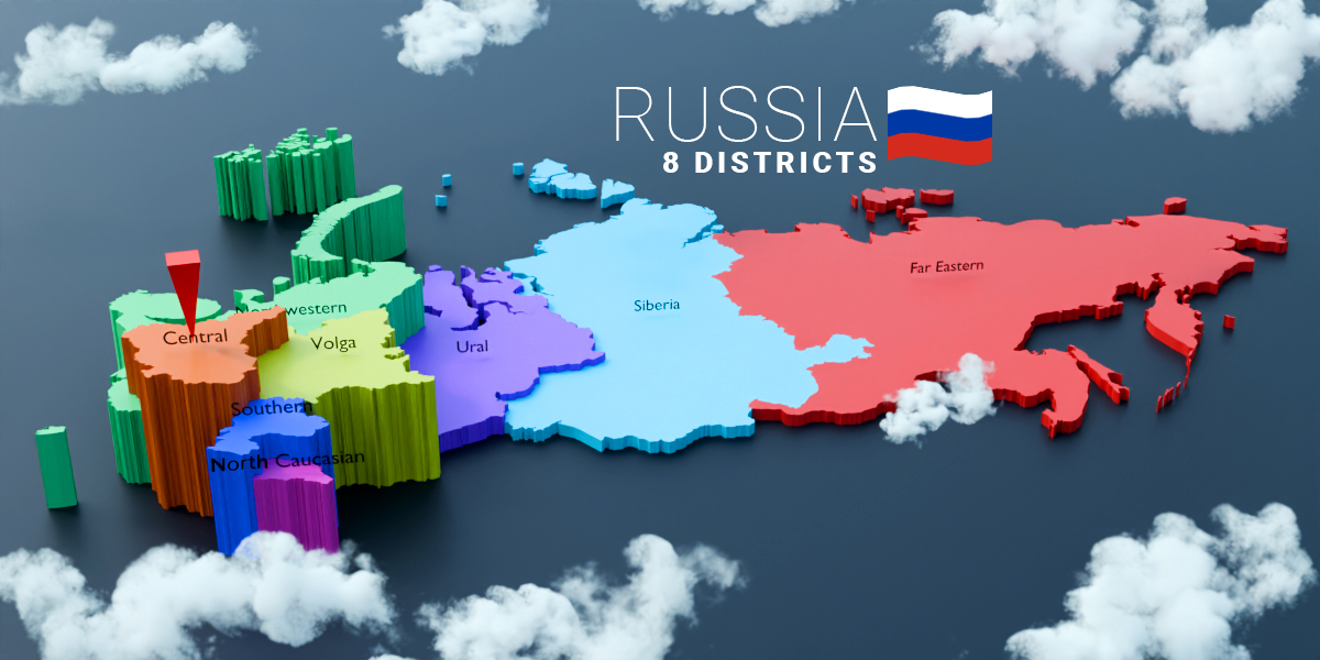

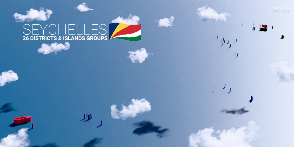


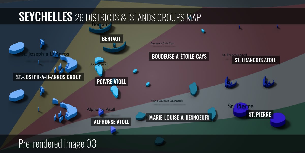

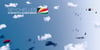

Seychelles - 26 Districts & Islands Groups Map (3D + Pre-rendered Images)
On Sale
$5.99
Pay what you want:
(minimum $5.99)
$
Seychelles - 26 Districts & Islands Groups Map (3D + Pre-rendered Images)
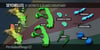
- 26 districts & islands groups map
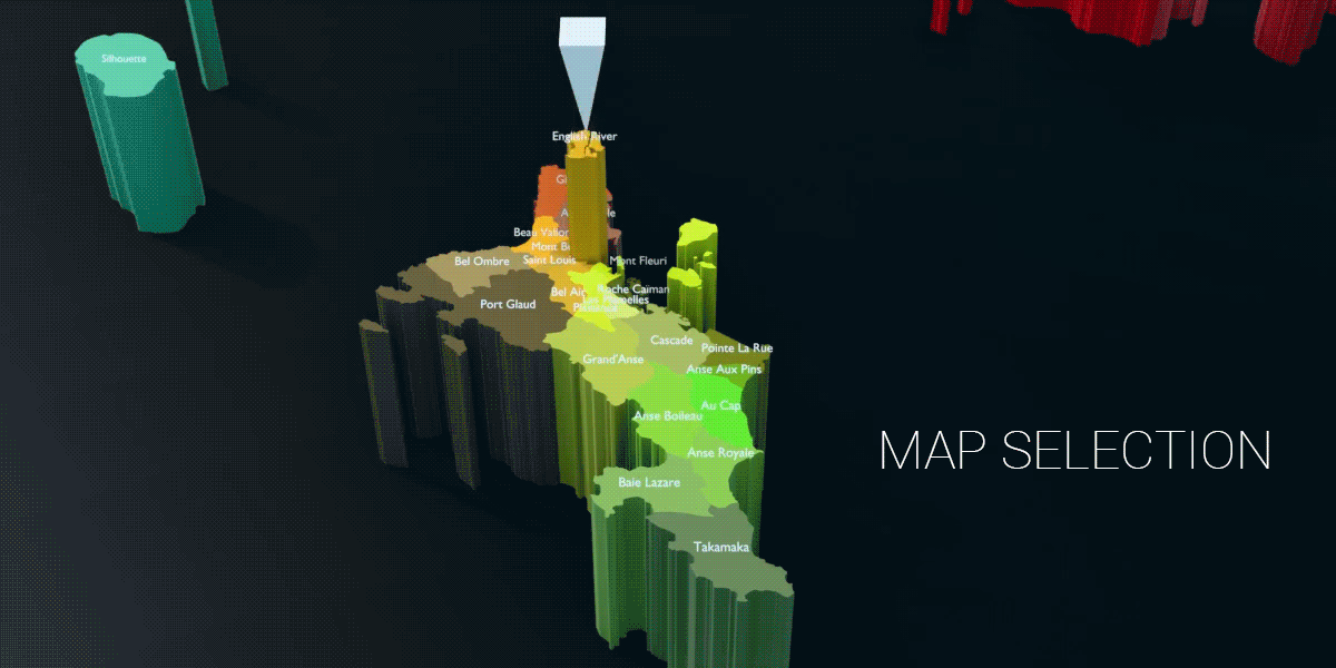
- Interactive provinces selection with geo nodes (Only for Blender)
- Customizable extrusion effects
- Amend name with geo nodes
- Hide or unhide names
- Change materials on each provinces
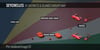
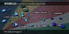
Map Selection:

Files in Zip:
- .blender 4.5 project file
- .fbx (non-interactive) - 1 file: Whole Seychelles Map
- .obj (non-interactive) - 1 file: Whole Seychelles Map
- .glb/gltf (non-interactive) - 1 file: Whole Seychelles Map
- .svg - Seychelles 26 Districts & Islands Groups Map
- .png - 50 pre-rendered images (size from 1000px to 4000px)
- .txt - Name list
Geo Nodes modifiers (Only for Blender):
Change Indicator Mesh:
- Switch indicator mesh from Effector Selection
Single Extrusion Effect Value:
- Refer to tooltips in modifier
Multiple Extrusion Effect Value:
- Refer to tooltips in modifier
# Switch between Flat, Single Extrusion or Multiple Extrusion from "Scenes" at Top Right
Hide or Unhide name in Name Size:
- Default value = 1
- Hide name value = 0
Setup render output in Compositing tab:
- Go to "Compositing" tab
- Select "File Output"
- Select "Base Path" folder icon to choose a desired directory for render output