


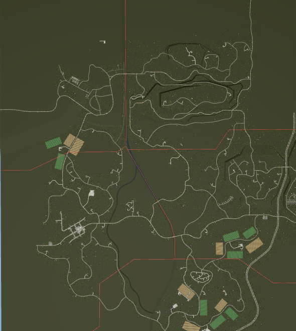
Rural Upstate NY Based Map
On Sale
$75.00
$75.00
This is the FIRST MAP to be released by RFA!
With pride and excellence I bring you the MASSIVE 12k x 12k Hoosick County, New York Map.
This map was designed to run FOUR volunteer departments with plenty of space between stations.
Here's what included:
A Massive Map that (from what I can remember) is around 12,000 by 12,000 studs.
Multiple Hills, and terrain featured.
A Highway / State Route that spans a 1/4 of the map (was never finished).
Border lines that can help you decide where each agency can go.
A Village with some tighter streets.
Many farm fields for brush fires
AND MUCH MORE!