

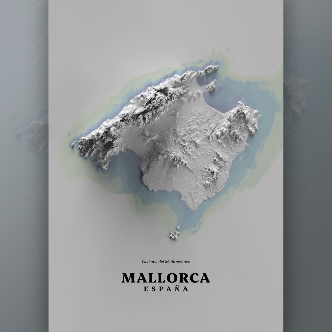
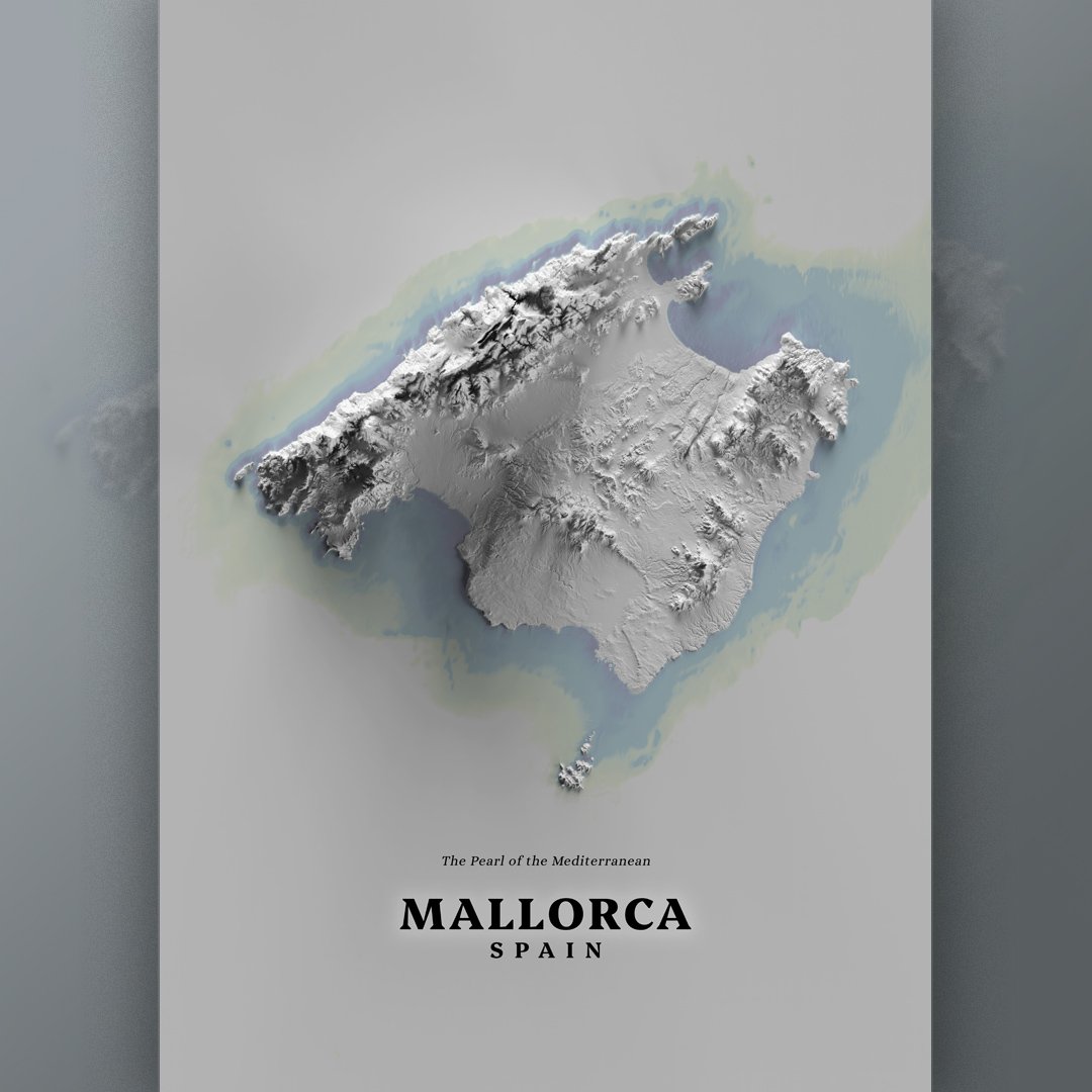


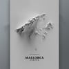
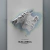

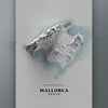
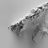
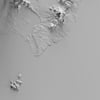
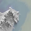
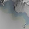
MALLORCA Island Spain printable relief topographic map, plain monochrome
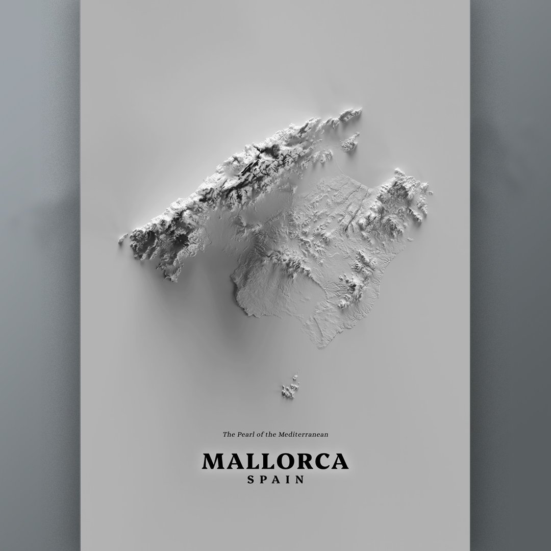
MALLORCA Island Spain printable relief topographic map, plain clay monochromatic style
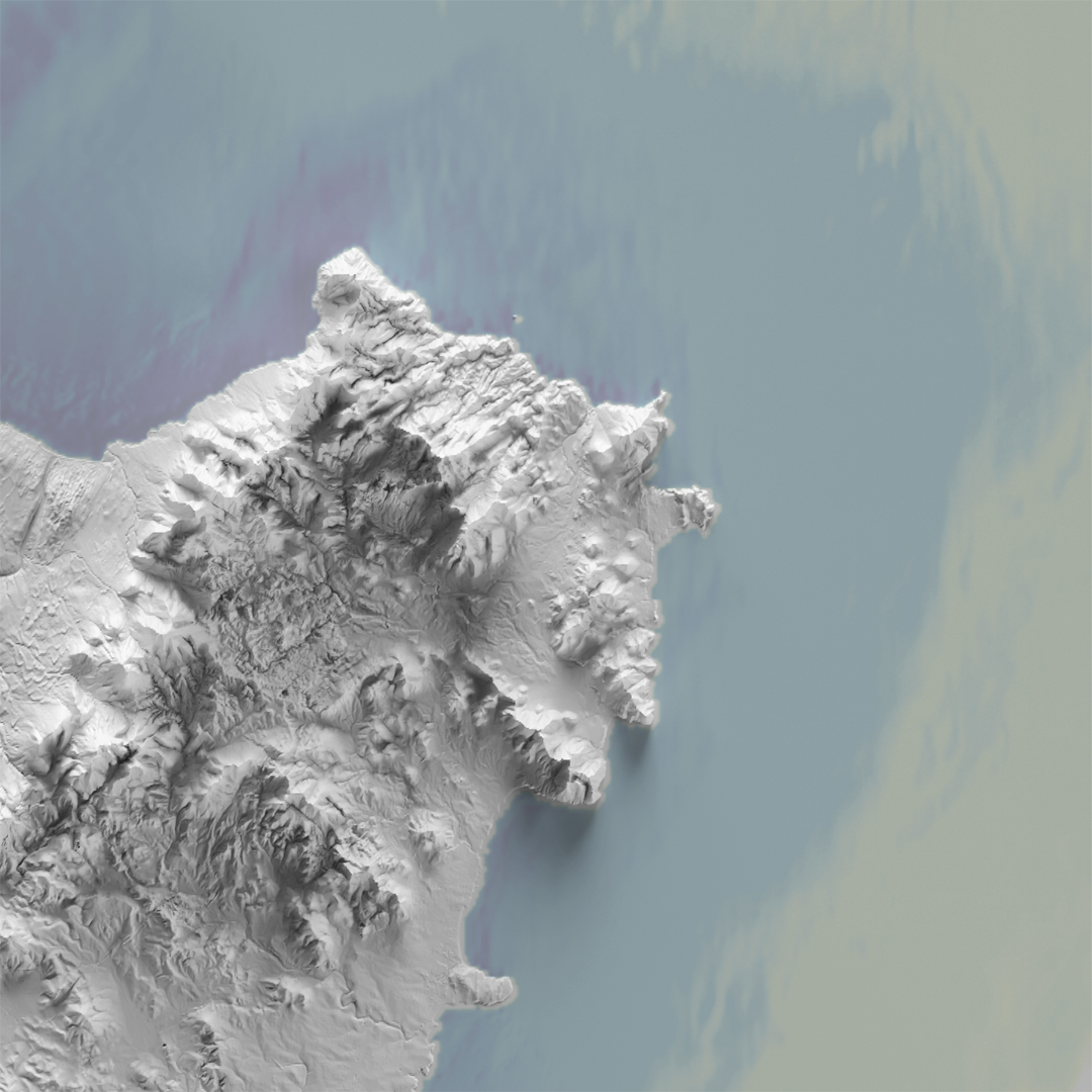
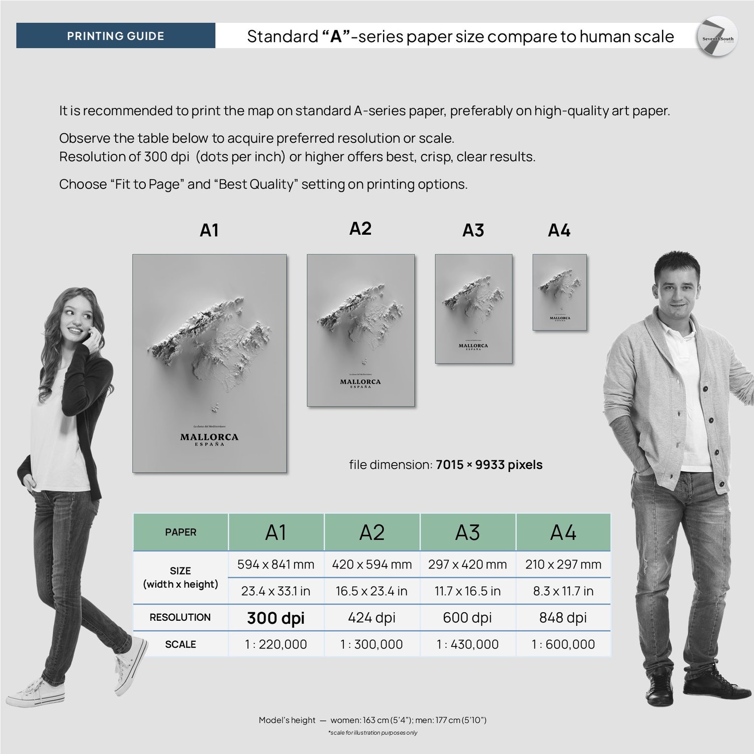
Size: 7015 × 9933 pixels
Format: PNG
Resolution: 300-dpi on standard A1 paper size.
-------
Number of files: 4 PNG (maps) + 1 PDF (printing guide)
Map title is in English and Spanish separately.
No physical maps will be shipped, and frame is not included.
-------
How to print:
Recommended to print on high-quality paper for best readability.
Please refer the printing guide page for detail. For best result, choose “Fit to Page” and “Best Quality” printer settings.
-------
Reference:
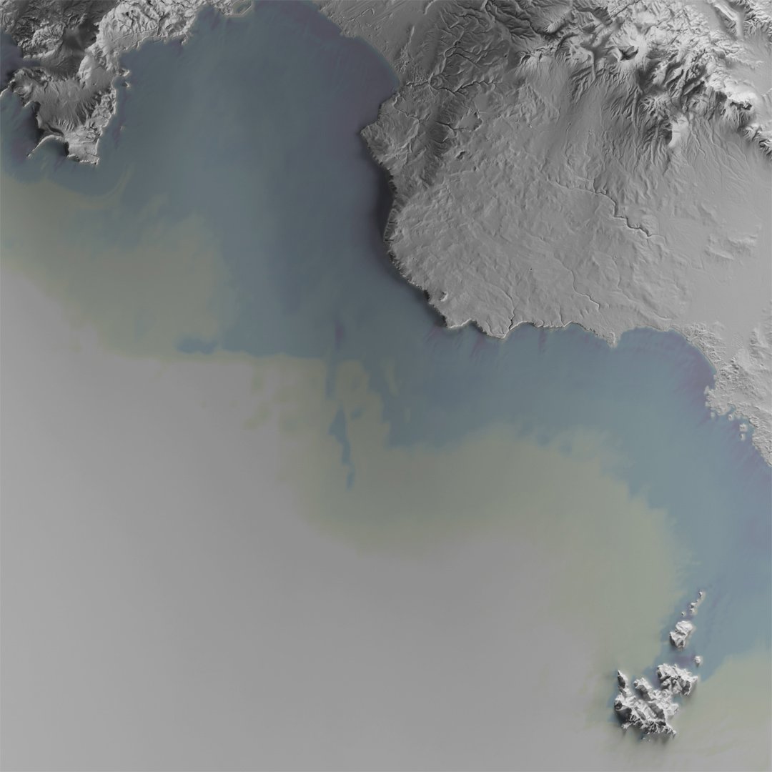
Digital terrain model 2-m resolution, CNIG Spain
EMODnet Digital Bathymetry
Map projection:
ETRS89 – European Terrestrial Reference System 1989
-------
Disclaimer:
Personal Use Only: These maps are provided for personal use only. You may print them for your own use and display them in your home or office.
No Commercial Use: You are not permitted to use these maps for any commercial purposes. This includes, but is not limited to, reselling, redistributing, or using the maps in any products or services for profit.
Non-Transferable Copyright: Purchasing the product does not transfer the rights of this digital product. The rights remain with the creator. If you wish to use this product for any purpose, please contact me for licensing information.
Non-refundable.