

Topography for road, 1 year subscription
On Sale
$246.00
$246.00
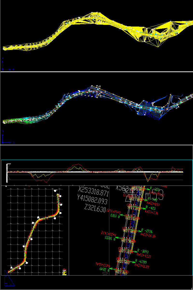
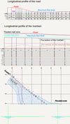
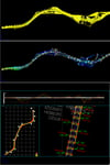
An add-on for AUTOCAD for the triangulation of a set of POINTS, isolines, DWG to Google Earth by KML files, the volume and center of gravity of a set of bodies or between surfaces composed of 3DFACE. You can load and edit a XYZ file of points having the format: Number X Y Z Code. You can make cross sections, longitudinal profile, color-filled contour map, hydraulic calculation (for determining the water level and of the flooded area in the vicinity of the rivers, roads, culverts and bridges) and analysis of a road (thus obtaining radii, gradients, road width, maximum speeds and a graph with the average slope and the calculated slope). You can determine the flatness of the surfaces and you can import and export LandXML file type!