


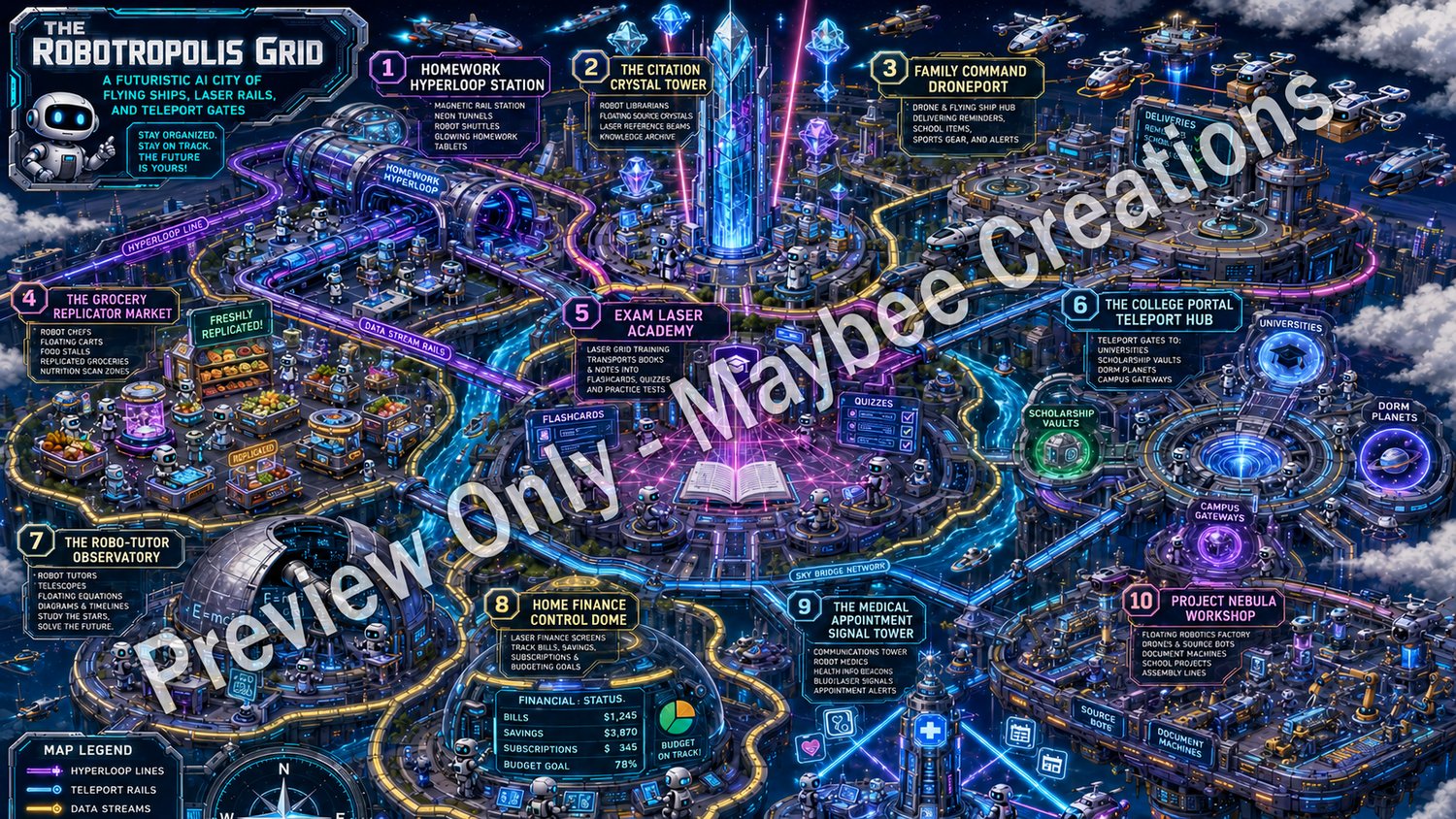
The Robotropolis Grid of Perplexity World Map
The Robotropolis Grid: Futuristic Perplexity Use Case World Map 🤖🚀
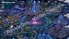
Step into The Robotropolis Grid, a dazzling futuristic AI city where robots replace people, flying mini spaceships zip across the skyline, laser rails connect every district, and teleport gates open the way to smarter family and student productivity.
This illustrated world map turns 10 practical Perplexity and Perplexity Computer use cases into a vivid sci-fi city adventure. Each district represents a real-life way families, high school students, and college students can use AI for research, planning, studying, organization, and everyday problem-solving.
Explore locations such as:
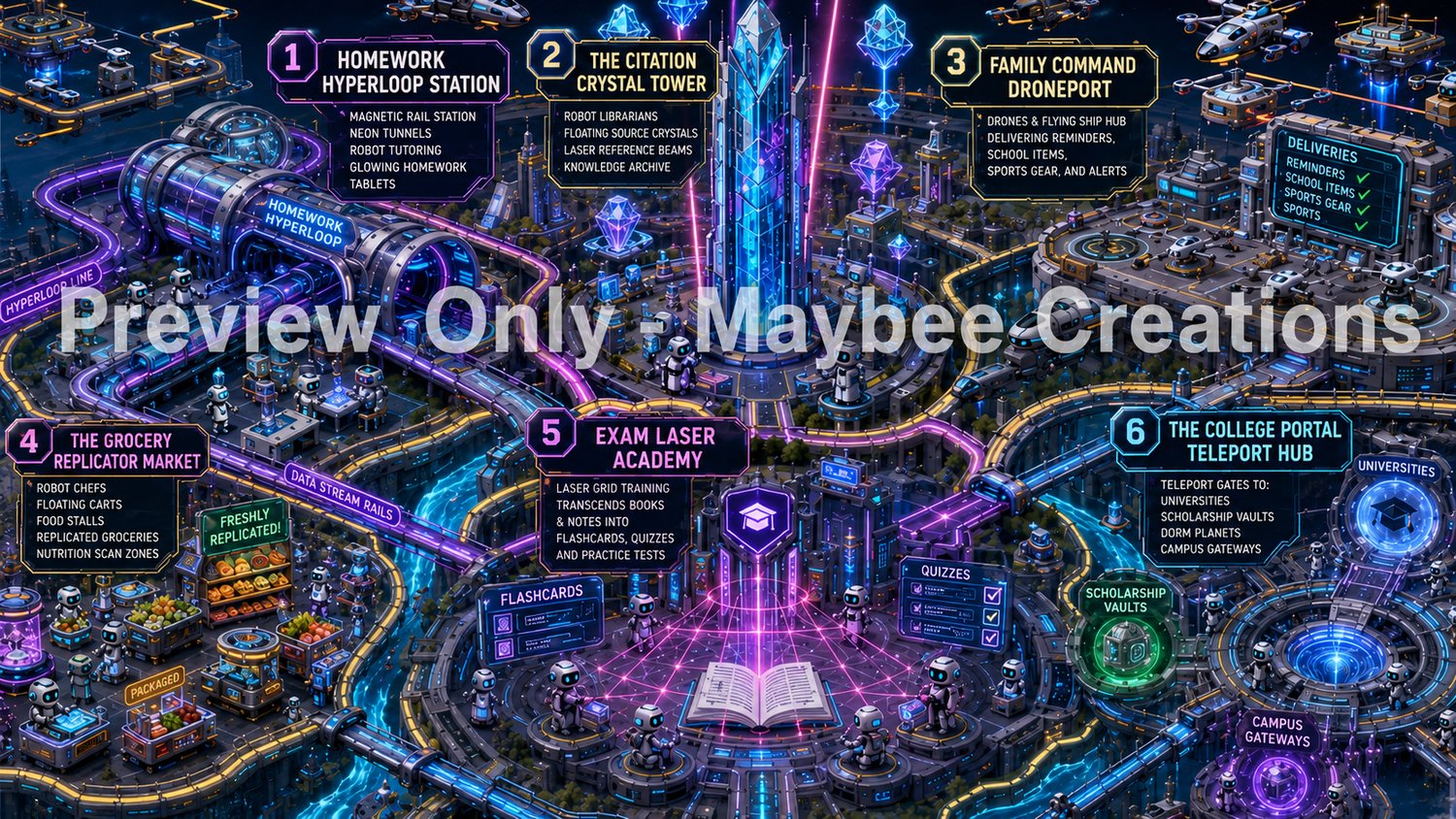
- Homework Hyperloop Station — homework research and cited answers
- The Citation Crystal Tower — essays, speeches, debates, and source gathering
- Family Command Droneport — schedules, reminders, school items, and family logistics
- The Grocery Replicator Market — meal planning and grocery organization
- Exam Laser Academy — quizzes, flashcards, study guides, and test prep
- The College Portal Teleport Hub — college, scholarship, and application research
- The Robo-Tutor Observatory — topic explanations and guided learning
- Home Finance Control Dome — family budget and subscription tracking
- The Medical Appointment Signal Tower — appointment prep and health-question organization
- Project Nebula Workshop — school projects, reports, and presentations
Perfect for visual learners, AI beginners, homeschool families, parents, high school students, college students, teachers, and anyone who enjoys turning productivity into an imaginative learning journey.
This map is designed as a fun visual guide and inspiration piece for understanding how Perplexity can help with family management and student productivity in a more engaging way than a plain checklist.
What you receive:
- Digital futuristic world map image
- Robot-city / sci-fi themed layout
- 10 labeled productivity districts
- Great for printing, reference, inspiration, or pairing with a tutorial guide
Note: This is the map only. Tutorial PDF sold and available in the bundle.
*This listing includes a high-resolution digital download after purchase. Preview images shown on this page are lower-resolution samples and may include watermarks. Final purchased files do not include watermarks.
You will get a PNG (3.5 MB) file