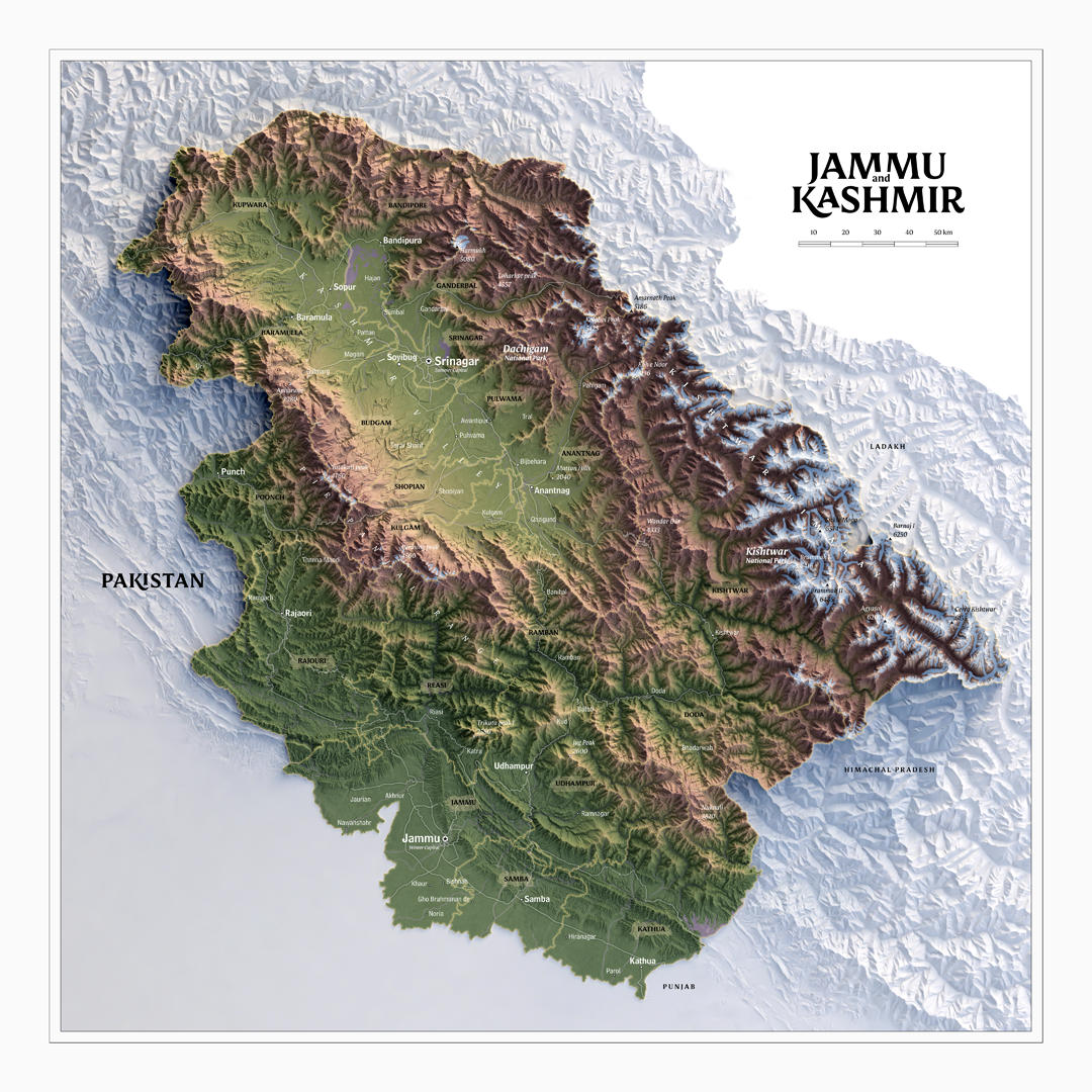
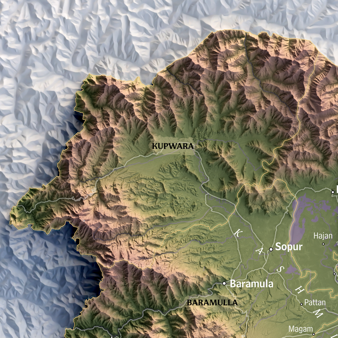
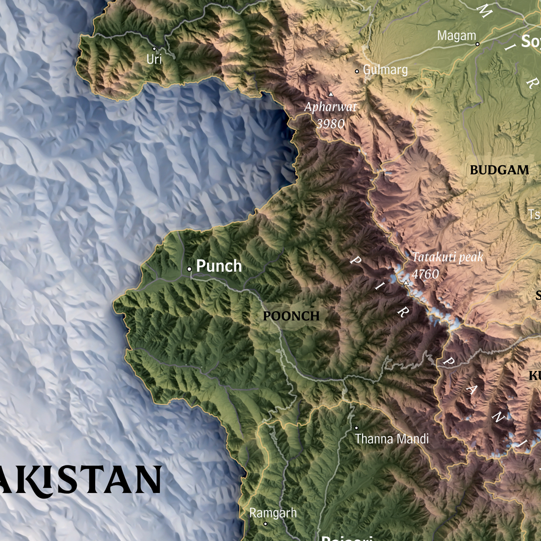
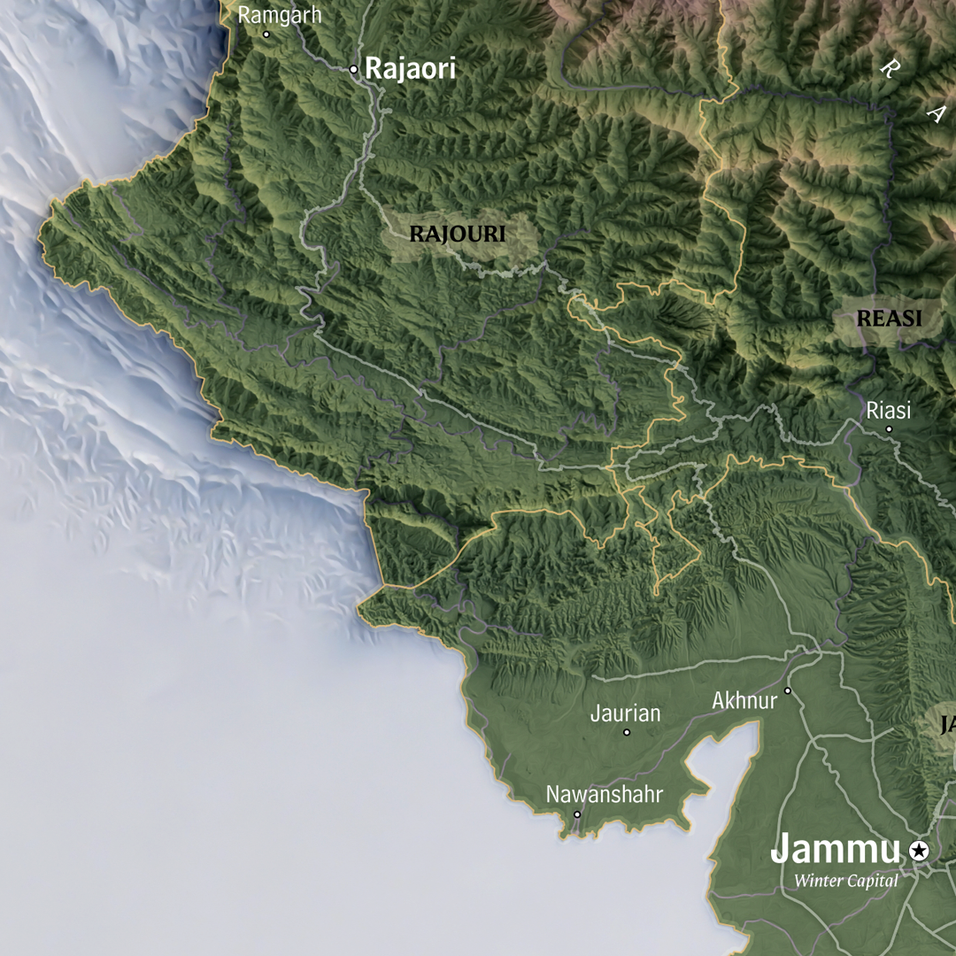
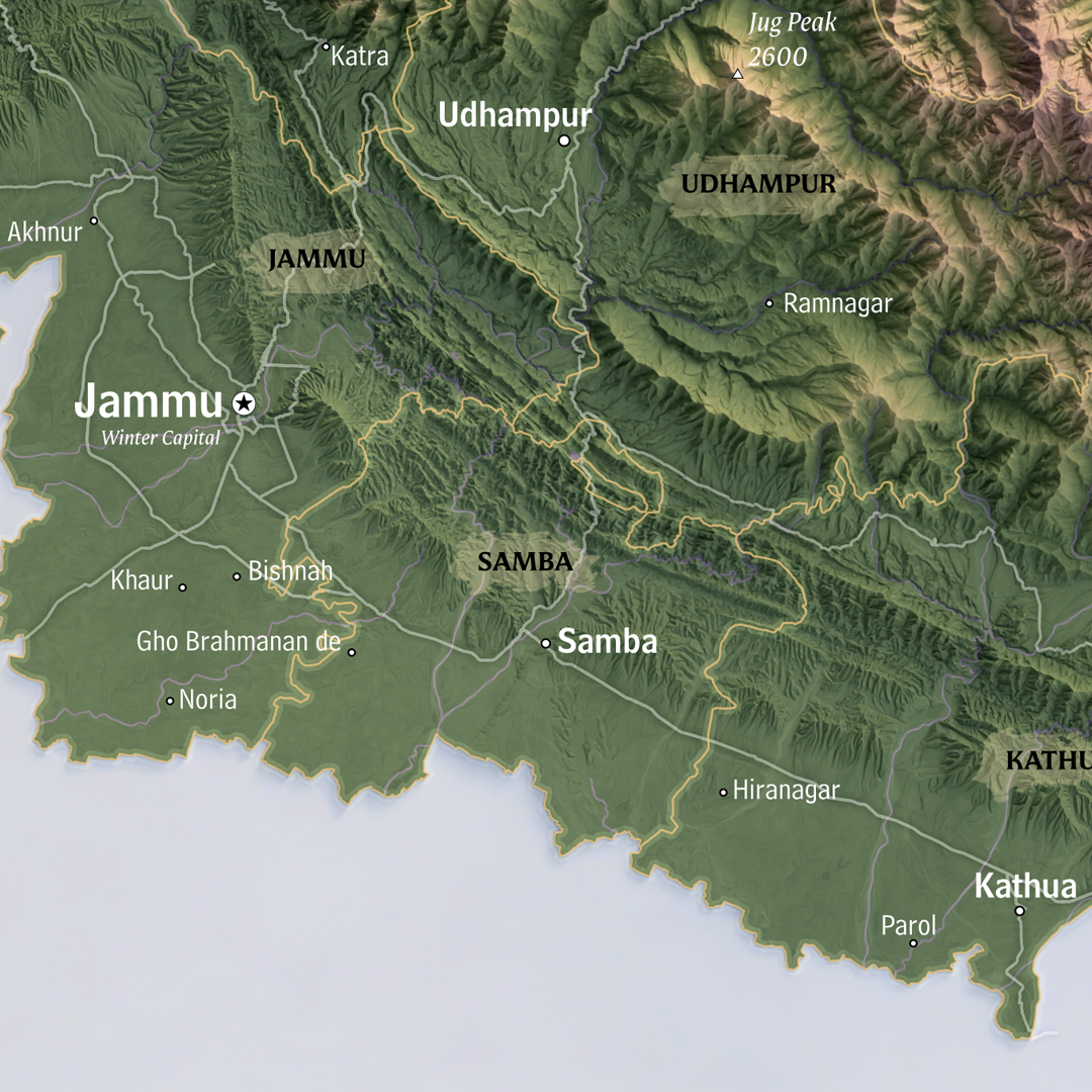
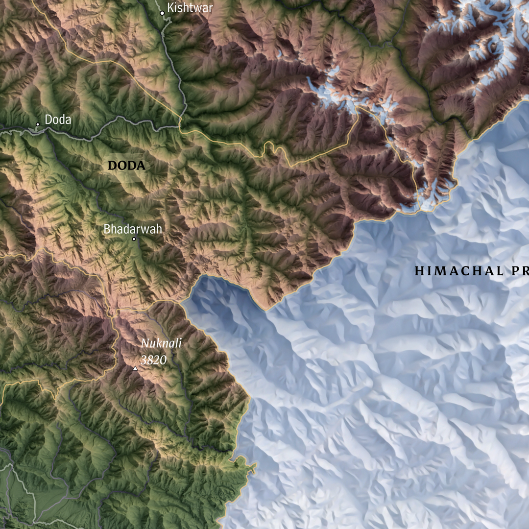
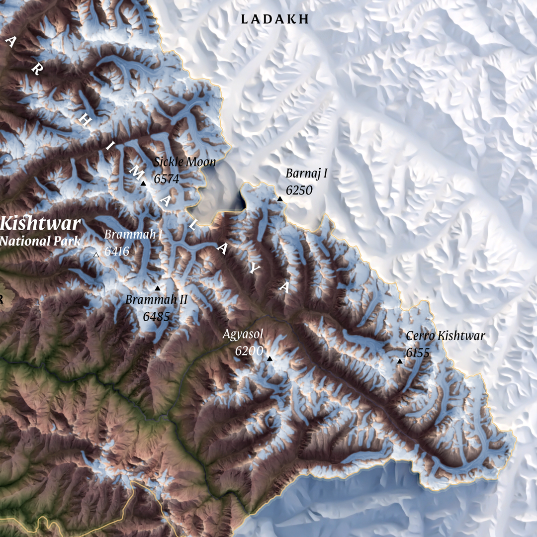
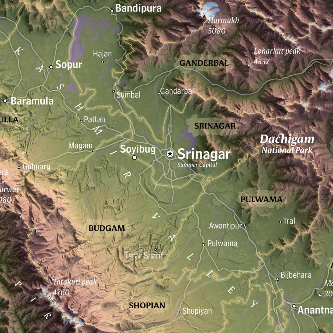


Union Territory of Jammu and Kashmir shaded relief map
On Sale
$15.00
$15.00
Printable shaded relief map of Union Territory of Jammu and Kashmir, India.
Printable file is 18x18 inches JPG-file at resolution 300 dpi. It is recommended to print it in the original size or larger so all the text labels remain legible.
By downloading this item, you agree that it is for personal use only.
You may not
- resell
- redistribute
- reproduce or
- modify it for any commercial purpose.
Thank you for supporting original work.
Do contact seller for any additional inquiries at hello@verygoodmaps.com