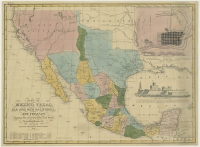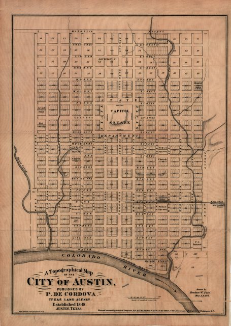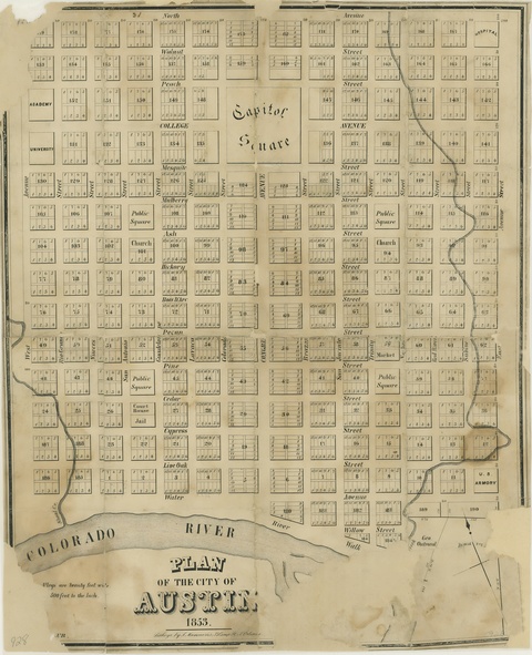
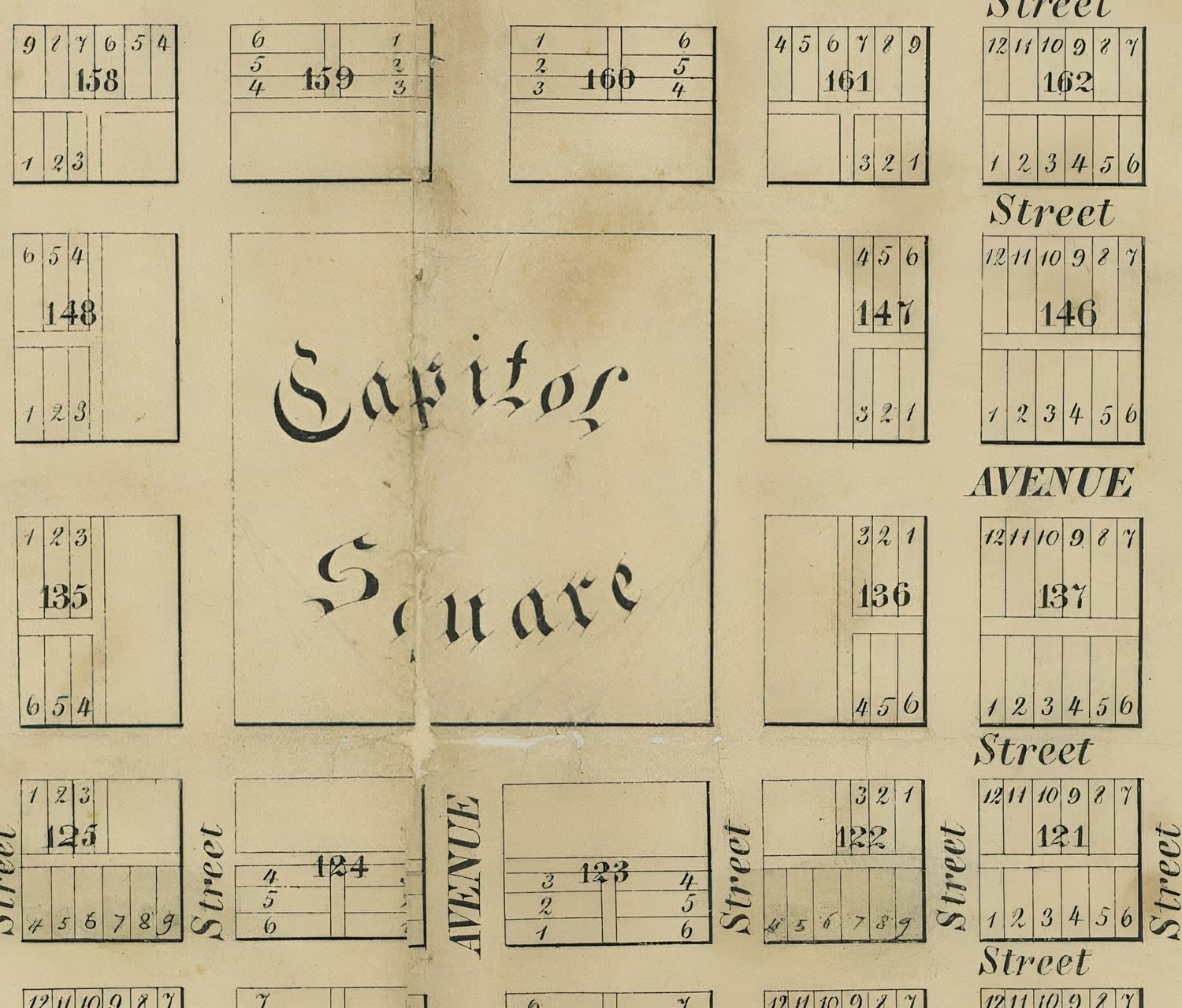
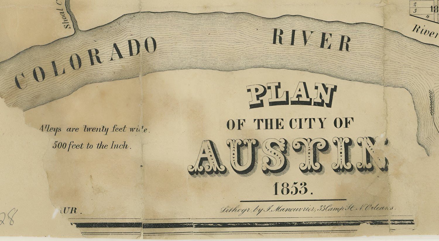


Map - Plan of the City of Austin 1853
On Sale
$4.99
$4.99
Plan of the City of Austin 1853.
Information for all maps:
- All images are standard jpeg format, viewable with and can be edited with any image editor. Any image can be cropped, shrunk, altered, restored, whatever.
- To view sample images, use left/right arrows on main image
- Some maps are as much as 300 years old and may be damaged and were the only surviving copy. Originals are very brittle.
- Some maps may have handwriting on them
- Some maps may have small lines through them from the original scanning process but don't necessarily always detract from overall appearance
- Some maps may have creases because the original was stored folded for hundreds of years
- Image dimensions range from the smallest map to the largest at 3422x6000px (physically will print out approx. 28 in. x 50 in. or infinitely smaller) to the largest at 9362x7942px (will physically print out to approx. 47 in. x 39 in. or infinitely smaller). All maps can be printed out to a very large size for framing if desired.