
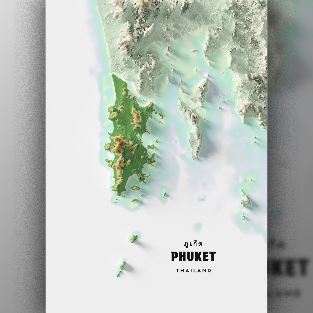

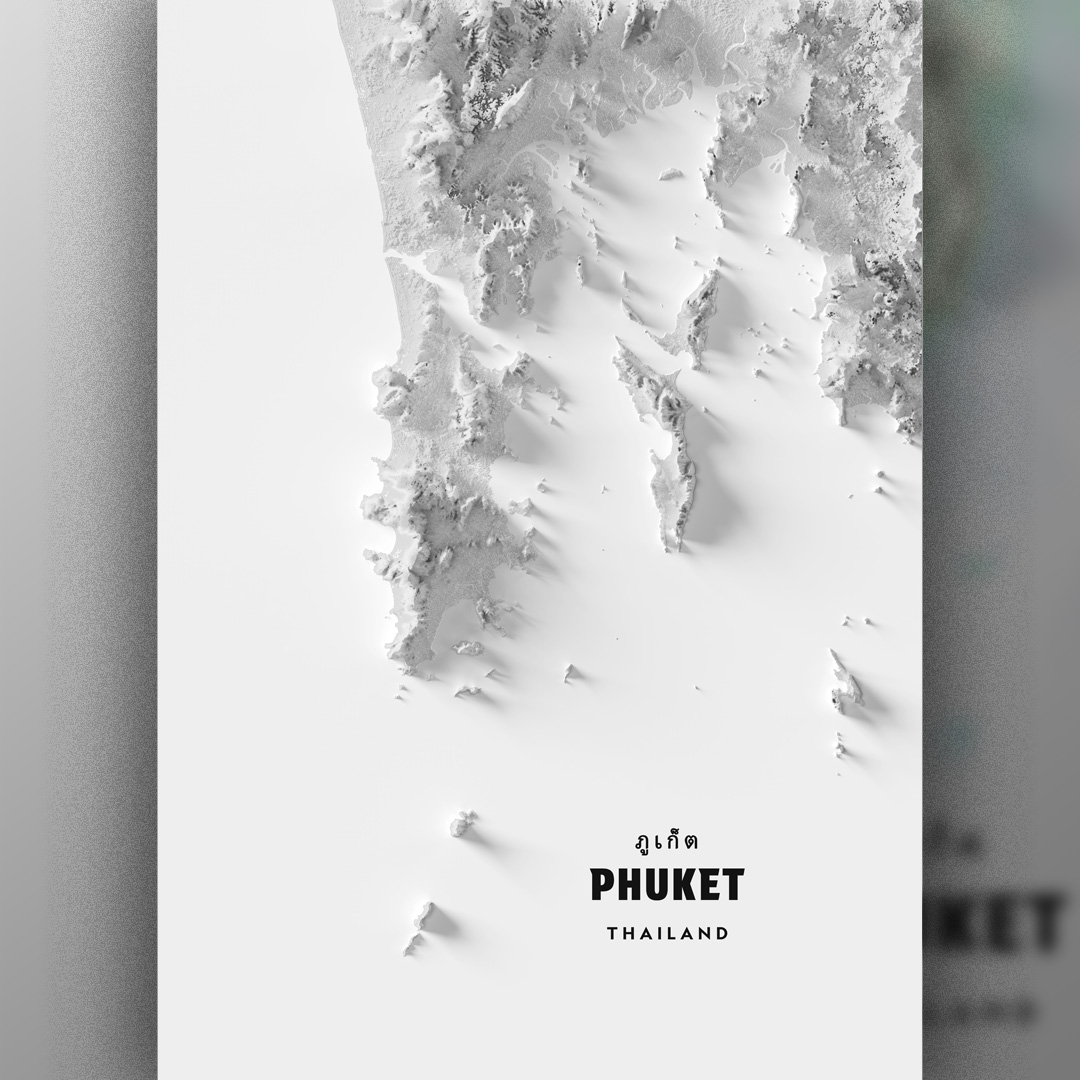
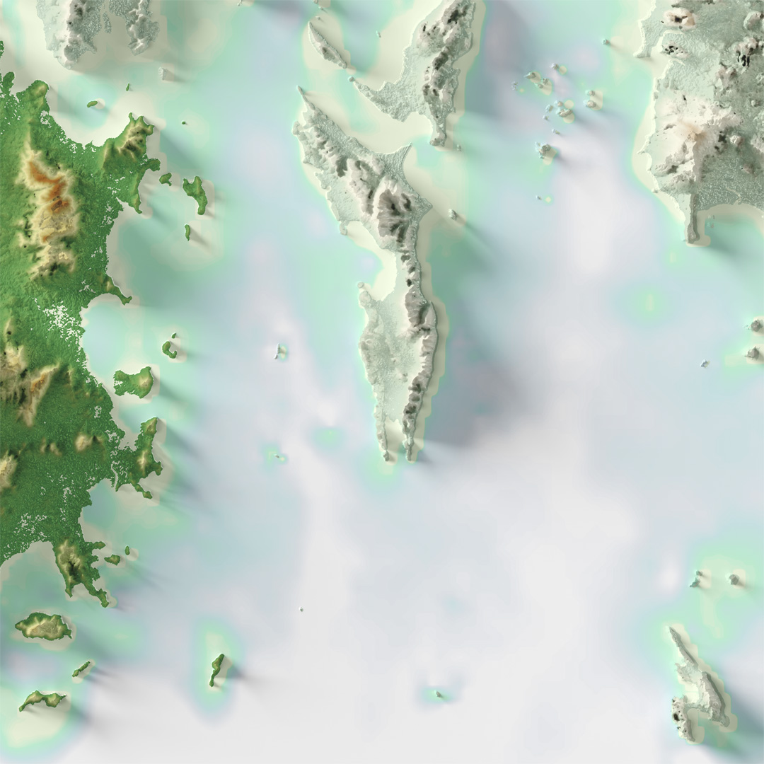
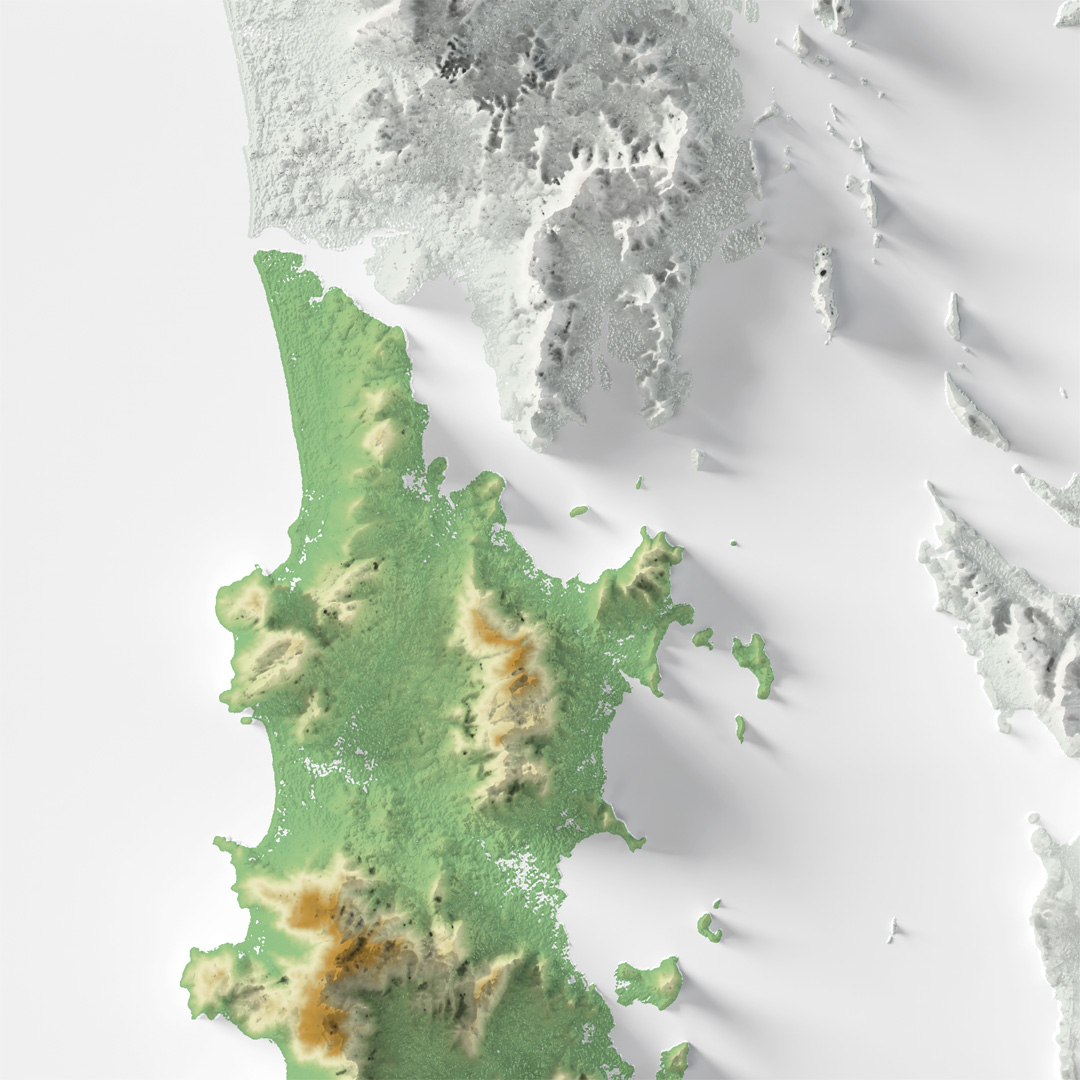


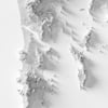
PHUKET Thailand printable map, topographic relief
PRINTABLE topographic shaded relief map of PHUKET, Koh Phi Phi, and the vicinity islands.
---
Format: PNG
Dimension: 7015 x 9933 pixel
Resolution: 300 ppi on standard-A1 paper
Number of files: 3 PNG (maps) + 1 PDF (printing guide)
No physical maps will be shipped, and frame is not included.
---
How to print:
Recommended to print on high-quality art paper for best readability.
Choose “Fit to Page” and “Best Quality” on printer settings for maximum span.
Please refer the attached printing guide page for details.
---
Reference:
High-resolution DTM 12.5m, JAXA
GEBCO 2024 bathymetry data 15-arc sec, BODC
Map projection:
WGS 84 / UTM Zone 47N
---
Disclaimer:
Personal Use Only: These maps are provided for personal use only. You may print them for your own use and display them in your home or office.
No Commercial Use: You are not permitted to use these maps for any commercial purposes. This includes, but is not limited to, reselling, redistributing, or using the maps in any products or services for profit.
Non-Transferable Copyright: Purchasing the product does not transfer the rights of this digital product. The rights remain with the creator. If you wish to use this product for any purpose, please contact me for licensing information.
Non-refundable.