


Arizona Copper Belt Covered Margins: Ajo & Globe–Miami Lidar, Alteration & Claims Map Pack
Two 30 × 30 km tiles over the covered margins of two Arizona porphyry copper districts: Ajo (Pima County) and Globe–Miami (Gila County). Each tile brings together USGS 3DEP lidar terrain, Sentinel-2 / ASTER / Landsat alteration layers, a basin-fill and pediment cover map, structure, geology, USGS mine and porphyry deposit records, BLM claims and a land-status / no-go layer, ready for your GIS and Google Earth.
WHAT YOU GET (both tiles; counts given as Ajo + Globe–Miami)
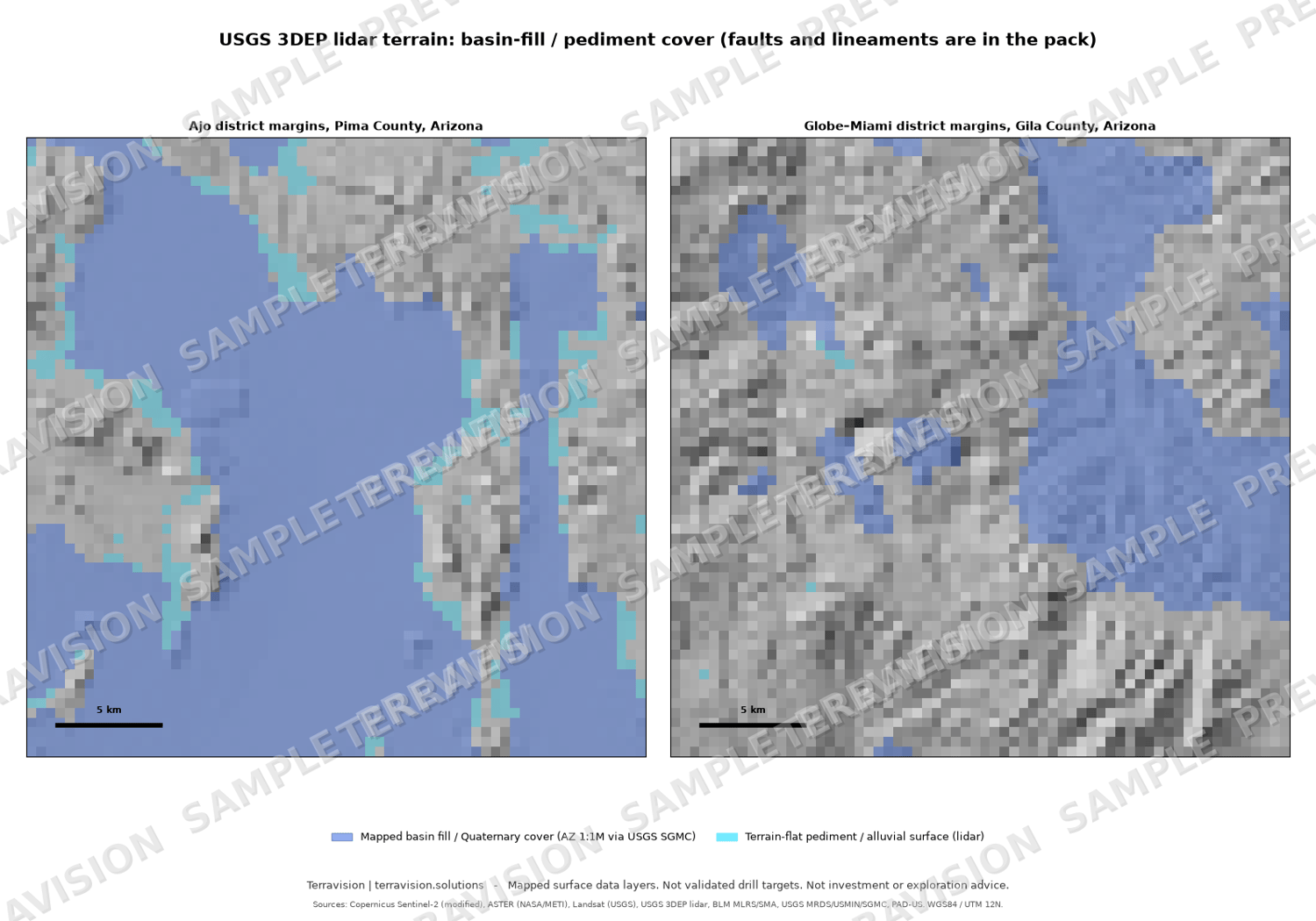
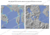
- USGS 3DEP lidar terrain: hillshade and slope at 5 m and a 10 m DEM (46% lidar at Ajo, 100% at Globe–Miami; USGS 10 m DEM fills the rest)
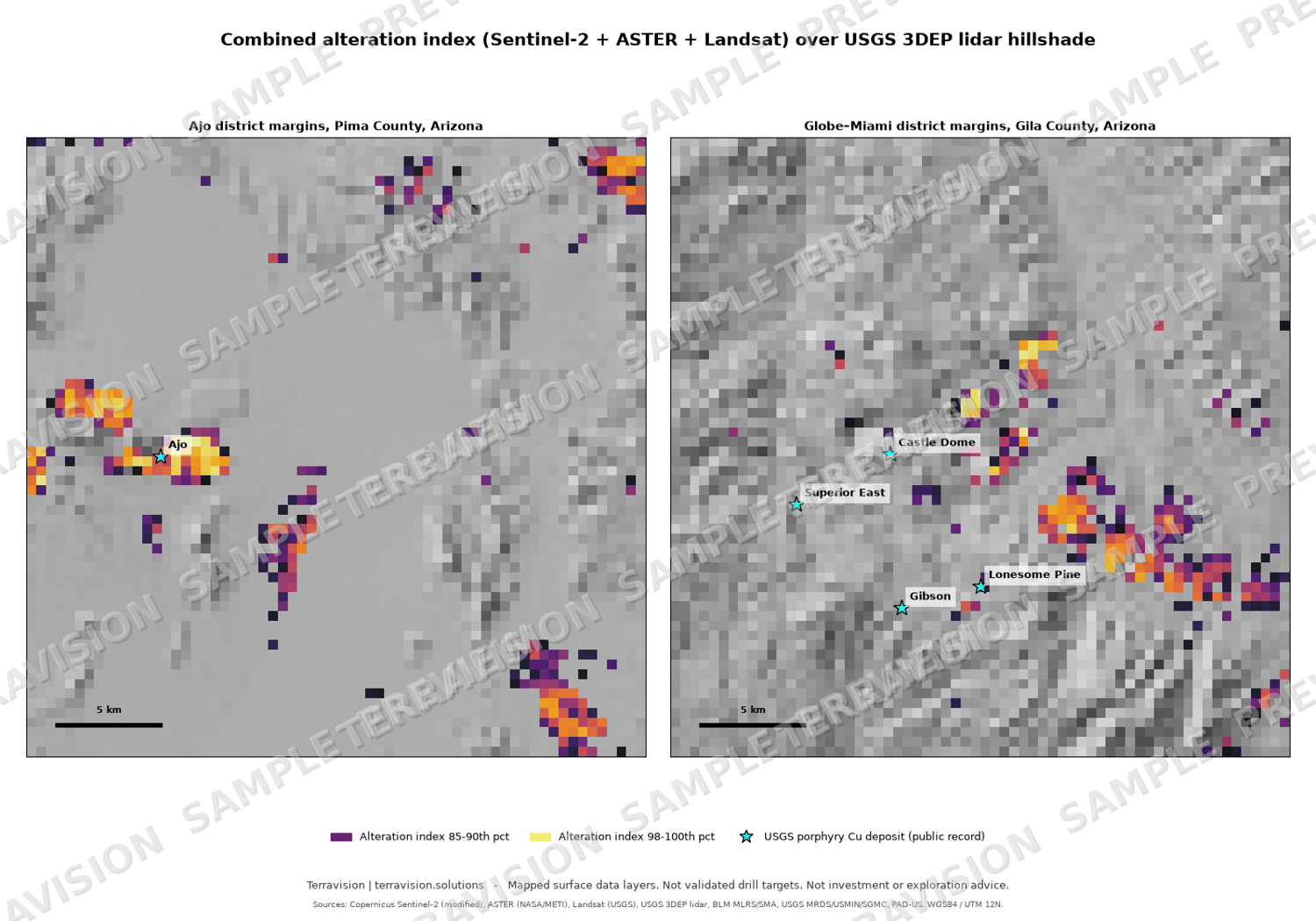
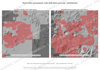
- Alteration layers: Sentinel-2 (multi-date median), Landsat 8–9 and ASTER clay/hydroxyl, iron-oxide, ferrous, carbonate and silica indices, plus a combined alteration index (all land and an open-ground version)
- Sensor agreement checks showing where Sentinel-2, Landsat and ASTER agree
- Anomaly cores and footprints with land status, cover and structure attributes
- Cover map: mapped basin fill and Quaternary units plus lidar-derived pediment and alluvial flats, showing where bedrock is exposed at surface and where it is covered
- Terrain lineaments checked against mapped faults, fault intersections and density layers
- Arizona geology (1:1,000,000 state map) as vectors
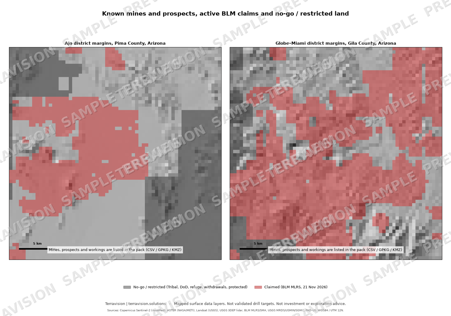
- Known mines and prospects: 35 + 306 USGS MRDS records, 368 + 2,048 USGS topo-map workings, mine footprints and USGS porphyry copper deposit points
- BLM mining claims snapshot (2,289 + 5,583 active claim polygons) and a land-status layer: open federal (BLM / National Forest), claimed, private / State trust, restricted
- No-go areas and areas to check before entry: Tribal land, Department of Defense land (Barry M. Goldwater Range edge), wildlife refuge, wilderness, withdrawals, ACECs and PAD-US protected areas
- GeoTIFF + GeoPackage + GeoJSON + CSV + 6 Google Earth KMZ files + a 9-page PDF guide
LAND STATUS AT A GLANCE (km²: open federal / claimed / private-State / restricted)
- Ajo: 426 / 194 / 44 / 236
- Globe–Miami: 287 / 464 / 91 / 58
A NOTE ON COVER
Satellite spectral layers record the ground surface and nothing below it. They cannot see through basin fill, pediment gravel, conglomerate, soil or vegetation. This pack maps the exposed edges, where altered bedrock crops out beside the cover, together with the lidar terrain, faults, geology and tenure needed to judge that ground. At Globe–Miami about half the tile is masked for vegetation, and the strongest surface signals are on existing mine ground.
WHO IT IS FOR
Junior explorers, prospectors, consultants and students screening the Arizona copper belt, checking open ground near known districts, or preparing a field programme.
WHAT IT IS NOT
Mapped surface data layers. Not drill targets, not a resource estimate or technical report, and not investment or exploration advice. Claims and land status are a snapshot dated 21 November 2026 with approximate geometry; verify with BLM MLRS, the Forest Service, the Arizona State Land Department and the county recorder before staking.
DATA CREDITS
Contains modified Copernicus Sentinel-2 data (2022–2026); ASTER L1T data courtesy of NASA/METI/AIST/Japan Spacesystems and the U.S./Japan ASTER Science Team, distributed by NASA LP DAAC / USGS EROS; Landsat 8–9 data courtesy of the U.S. Geological Survey; lidar from the USGS 3D Elevation Program (3DEP); USGS MRDS, USMIN, SGMC and porphyry copper deposit database; BLM MLRS and Surface Management Agency; USGS PAD-US. Full credits and licences are in the guide.
Licence: single-user licence for your own internal and commercial use; no resale or redistribution of the pack. Third-party data keep their own terms (see the guide).
Delivery: instant download after purchase (one ZIP, about 320 MB).
FAQ
- Does it show where the copper is? No. It maps surface alteration, terrain, structure, geology and tenure. It cannot see under cover.
- Is there lidar? Yes: USGS 3DEP 1 m lidar resampled to 5 m hillshade and slope wherever it exists (all of Globe–Miami, about half of Ajo).
- Can I stake the open ground? Not necessarily. Claim polygons are approximate, State trust land needs an Arizona State Land Department permit, and staking on federal land requires a US citizen or US entity.
- Which software do I need? Any GIS that opens GeoTIFF / GeoPackage, or Google Earth for the KMZ files.
- Refunds? Because this is an instant digital download, sales are final once downloaded. If a file is faulty or won't open, email chris@terravision.solutions, use the contact form at terravision.solutions, or send a Payhip message, and we will fix it or refund you.
Pricing (USD): single-user licence $295 launch price (list price $395). A team licence (up to 5 users, $795) and an academic / student licence ($99) are available on request: email chris@terravision.solutions. All licences cover the same download and differ in licence terms alone.
Christopher Thompson, trading as Terravision | chris@terravision.solutions | terravision.solutions