
Hidden Cornwall — A3 Framed Historic Map
CORNWALL, FRAMED
Choose a place with a story. One historic Cornwall Ordnance Survey map, professionally printed and framed, ready to hang.
£109.99 plus £7.99 tracked UK delivery per order. No digital purchase is needed.
WHAT YOU RECEIVE
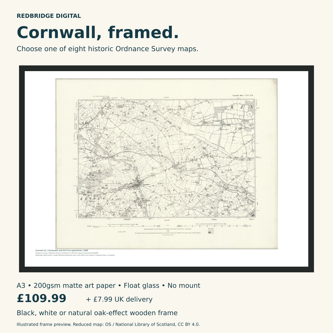
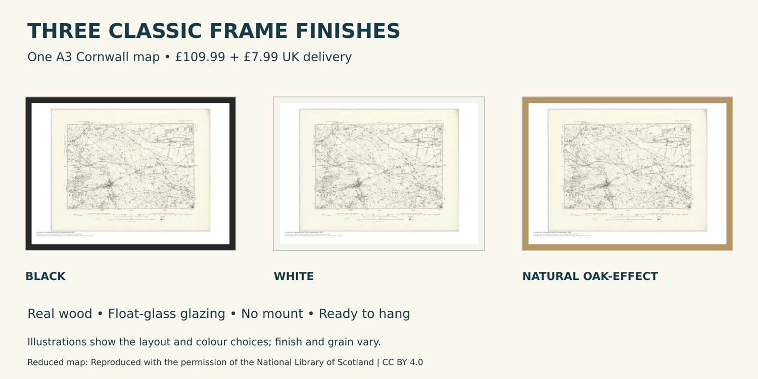
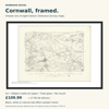
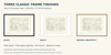
One A3 landscape map print (420 × 297 mm) on 200gsm enhanced matte art paper, in a classic wooden frame with float-glass glazing and no mount. The outer frame is larger than the A3 print size. Choose black, white or natural oak-effect finish. Natural frames are real wood with an oak-effect laminate finish.
CHOOSE YOUR MAP AND FRAME
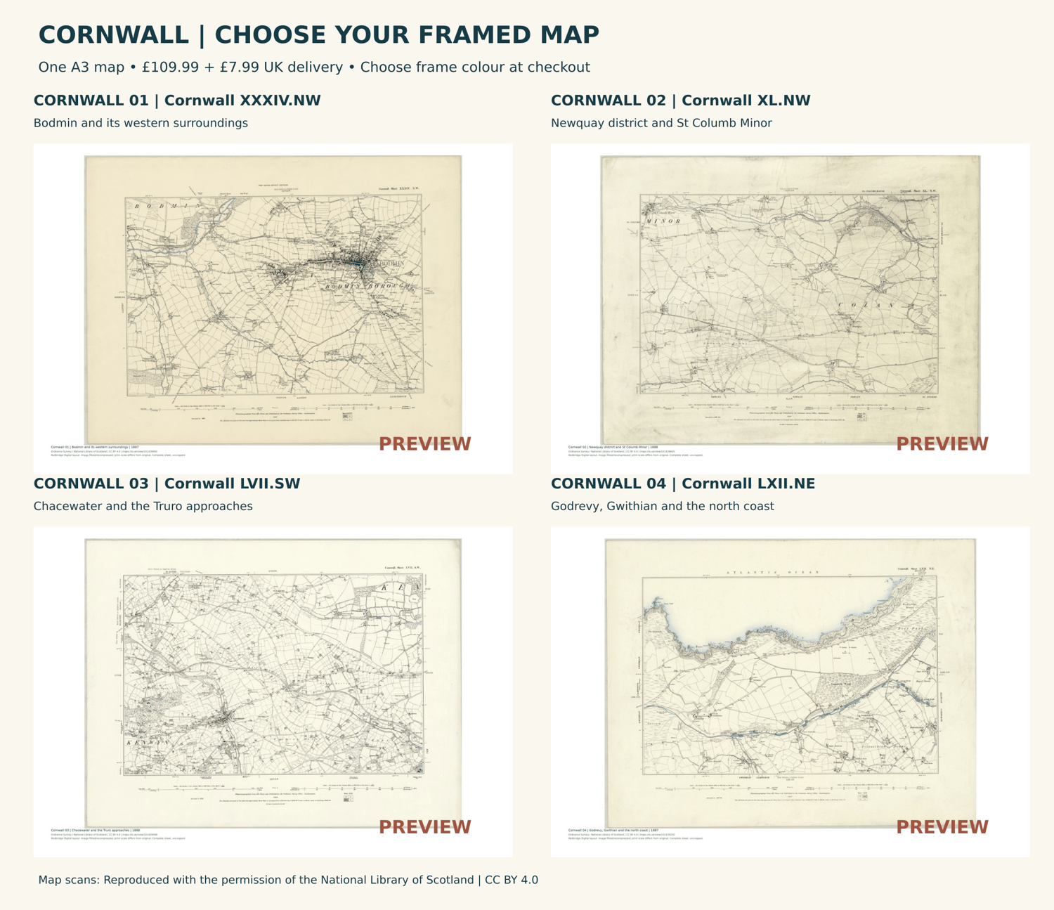
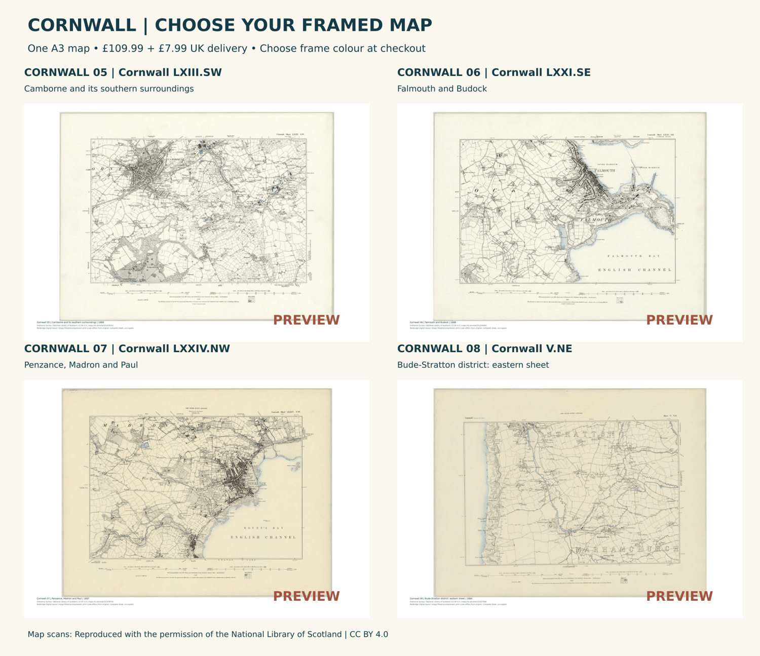
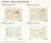
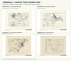
View the numbered map previews, then click your map and frame colour using the choices above before adding to your basket. Your selections are saved with your order; no map code needs to be typed at checkout. Quantity gives you additional copies of the same map and frame colour. To order a different map or frame colour from this listing, place a separate order.
Each purchase includes one framed sheet, not all eight maps. No PDF, digital book or separate mount is included.
THE REPRODUCTION
The complete historic sheet is fitted inside a white border, with the source credit below. Original margins, fading and marks are retained. Prepared from the full source scan for A3 printing at 300dpi; the reproduced scale differs from the original map scale. Small lettering is reduced on A3. Gallery images are reduced, watermarked previews; production artwork has no PREVIEW stamp. Frame pictures are illustrations, not photographs of a manufactured sample.
DELIVERY
Made to order for UK addresses. Please allow an estimated 7–10 working days for printing, framing and tracked delivery. This is an estimate, not a guaranteed arrival date. Shipping for mixed-product baskets is calculated at checkout. Christmas arrival is not guaranteed.
For questions or an order correction, use the shop Contact link promptly. Keep your order receipt and map reference.
MAP CHOICES
Cornwall 01 — Bodmin and its western surroundings | Cornwall XXXIV.NW | 1887
Cornwall 02 — Newquay district and St Columb Minor | Cornwall XL.NW | 1888
Cornwall 03 — Chacewater and the Truro approaches | Cornwall LVII.SW | 1888
Cornwall 04 — Godrevy, Gwithian and the north coast | Cornwall LXII.NE | 1887
Cornwall 05 — Camborne and its southern surroundings | Cornwall LXIII.SW | 1888
Cornwall 06 — Falmouth and Budock | Cornwall LXXI.SE | 1888
Cornwall 07 — Penzance, Madron and Paul | Cornwall LXXIV.NW | 1887
Cornwall 08 — Bude-Stratton district: eastern sheet | Cornwall V.NE | 1884
Maps: Ordnance Survey / National Library of Scotland, CC BY 4.0. Reproduced with the permission of the National Library of Scotland. Credits and source references are retained on every print. No endorsement is implied.