
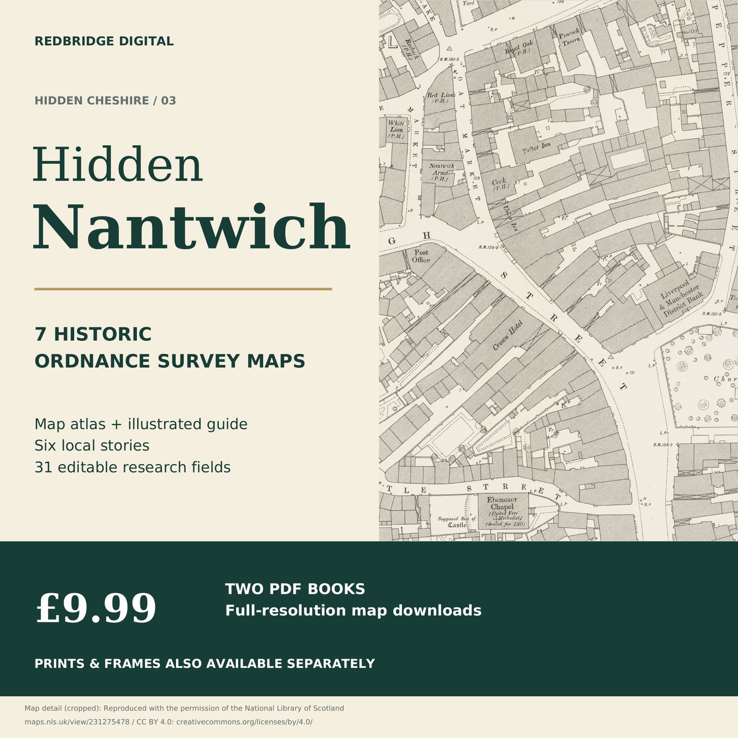
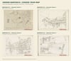

Hidden Nantwich — 7 Historic OS Maps & Illustrated Research Guide
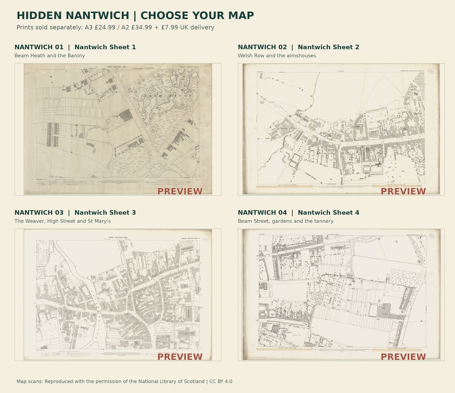
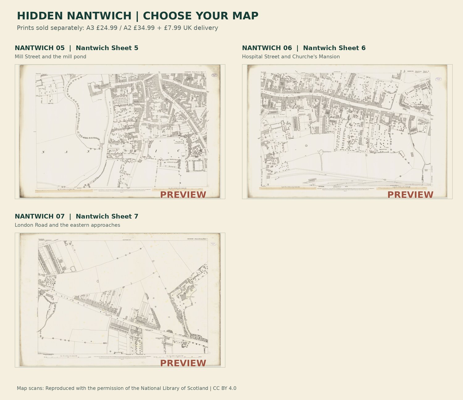
Explore Nantwich's streets, salt-making landscape and River Weaver through 7 selected historic Ordnance Survey sheets.
£9.99 buys two PDFs: a 11-page map atlas and a 20-page illustrated research guide with 31 blank editable fields.
Published in or around 1878. Survey-date differences and approximate catalogue dates are explained beside the sheets. This is selected coverage, not every modern street. Dates, sources and research references remain in the books.
Full map detail is retained: approximately 179 MB combined. Download fully and use a form-supporting PDF reader for editable pages. One-off digital purchase; no physical delivery.
Want your birthplace framed instead? Request a postcode check, proof and quote:
Prints and frames are separate; no digital purchase is required.
Five download attempts per file; save a local copy.
This purchase covers the edition and original research, not exclusive ownership of the source cartography.