

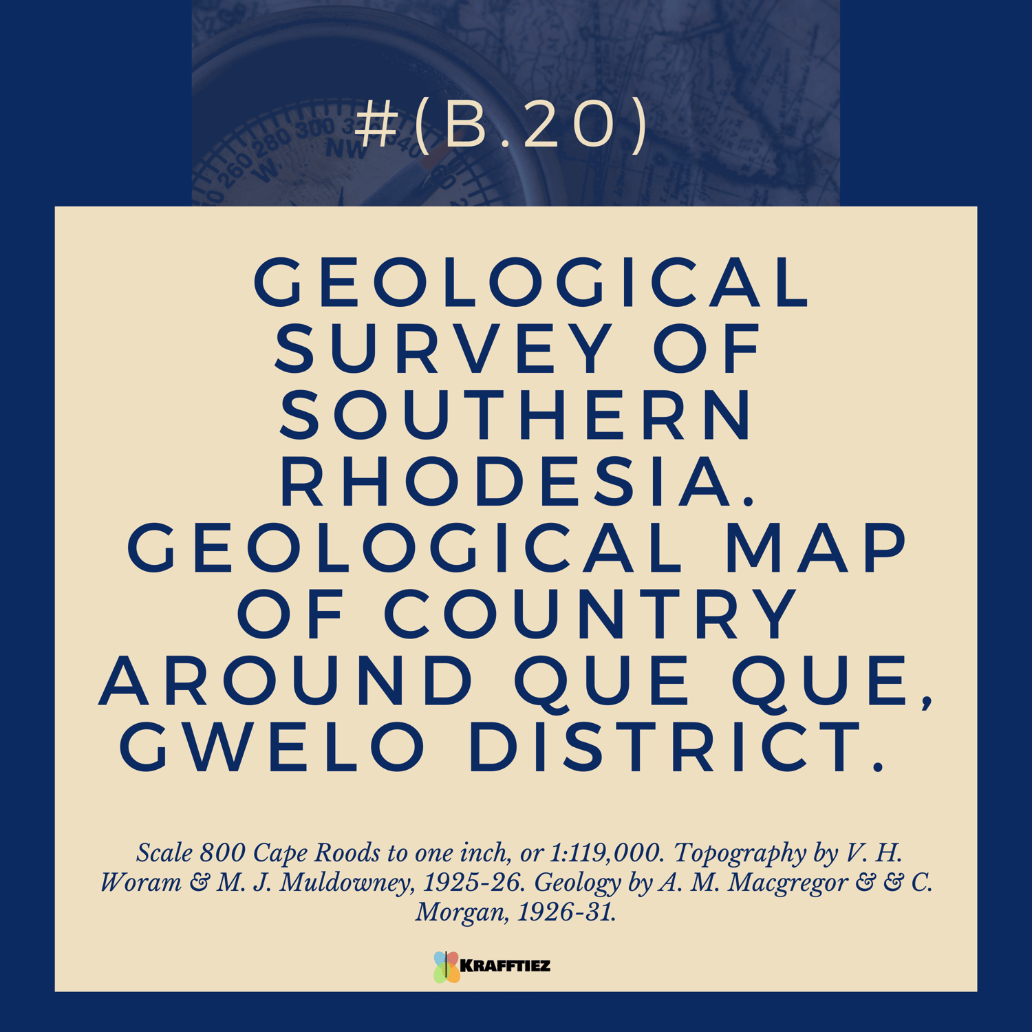
( B.20) GEOLOGICAL SURVEY OF SOUTHERN RHODESIA. GEOLOGICAL MAP OF COUNTRY AROUND QUE QUE, GWELO DISTRICT.
On Sale
$500.00
$350.00
The Geological Survey of Southern Rhodesia Map (B.20) is a detailed geological map of the country around Que Que in the Gwelo District. It is printed at a scale of 800 Cape Roods to one inch, or 1:119,000. The topography of the map was mapped by V. H. Woram and M. J. Muldowney in 1925-26, and the geology was mapped by A. M. Macgregor and C. Morgan in 1926-31. The map provides an in-depth look at the geological features of the area, including the types of rocks, faults, and folds that are present. It also provides information on the age of rocks, the types of minerals present, and the structure of the rocks. This map is a great resource for geologists, as it provides a detailed look at the geology of the area.
( B.20) GEOLOGICAL SURVEY OF SOUTHERN RHODESIA. GEOLOGICAL MAP OF COUNTRY AROUND QUE QUE, GWELO DISTRICT. Scale 800 Cape Roods to one inch, or 1:119,000. Topography by V. H. Woram & M. J. Muldowney, 1925-26. Geology by A. M. Macgregor & & C. Morgan, 1926-31.