Soldaten-Atlas Wehrmacht 1941
Soldaten-Atlas Wehrmacht 1941
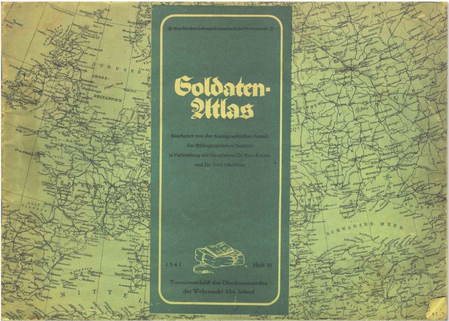
Soldaten-Atlas / Soldier Atlas, published by the Wehrmacht High command in late 1941. Cover says "for use inside the Wehrmacht only." Published for the soldiers at front to inform them about the ongoing war. Maps of Germany and Europe as it was shaped by the German forces in late 1941, NSDAP administrative structure of Germany, maps of the German WW2 campaigns prior to the invasion of Russia (Poland, Norway, France, Balkans) and explanation of the changing European map, several maps of the Sovjet Union as published after the start of operation Barbarossa, about half of the pages in color. Many charts of population, farming and industrial production. Maps of lost German colonies, maps of the invasion of Poland, Norway, Denmark, Holland, Belgium, France, Yugoslavia and Greece plus maps of racial groups of Europe and the world. Download