
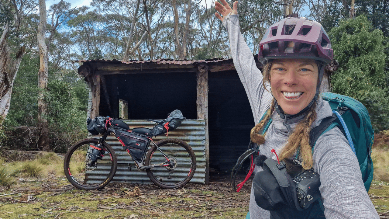
Barrington Tops – 3 Day Bikepacking Route (GPX)
On Sale
A$2.00
A$2.00
Explore the Barrington Tops on this 3-day bikepacking adventure.
This route covers approximately 160 km with 4,000 m of elevation gain, combining quiet country roads, gravel roads and rugged trails through the Barrington Tops region of NSW.
Created from my own 3-day solo bikepacking trip, this GPX file allows you to follow the route and plan your own adventure.
What's included:
- GPX route file for GPS devices and compatible navigation apps
- Approximately 160 km of riding
- Approximately 4,000 m elevation gain
- 3-day bikepacking route
A few things to know:
- Expect challenging climbs and sections of rough terrain.
- Some sections may involve hike-a-bike.
- Conditions can change, particularly in the Barrington Tops, so check track access and weather before setting out.
Please remember this is a route file based on my own ride, not a turn-by-turn guide or guarantee of current track conditions, but I hope it helps you create your own bike packing adventure.
Happy exploring!
Mel Hayes