

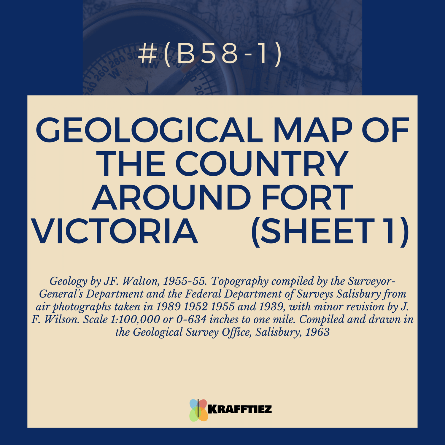
(B58-1) GEOLOGICAL MAP OF THE COUNTRY AROUND FORT VICTORIA (SHEET 1) Geology by JF. Walion, 1955-55.
On Sale
$500.00
$350.00
Explore the geological features of the Fort Victoria area with the GEOLOGICAL MAP OF THE COUNTRY AROUND FORT VICTORIA (SHEET 1). This comprehensive map was created by JF. Walion and compiled and drawn in the Geological Survey Office, Salisbury in 1963. With a scale of 1:100,000 or 0-634 inch to one mile, you can see the topography compiled by the Surveyor-General's Department and the Federal Department of Surveys Salisbury from air photographs taken in 1989 1952 1955 and 1939, with minor revision by J. F. Wilson. Get the most accurate and detailed view of the area with the GEOLOGICAL MAP OF THE COUNTRY AROUND FORT VICTORIA (SHEET 1).
(B58-1) GEOLOGICAL MAP OF THE COUNTRY AROUND FORT VICTORIA (SHEET 1) Geology by JF. Walion, 1955-55. Topography compiled by the Surveyor-General's Department and the Federal Department of Surveys Salisbury from air photographs taken in 1989 1952 1955 and 1939, with minor revision by J. F. Wilson. Scale 1:100,000 or 0-634 inch to one mile. Compiled and drawn in the Geological Survey Office, Salisbury, 1963