Hidden Preston — 8 Full-Resolution Ordnance Survey Maps (1848–1895)
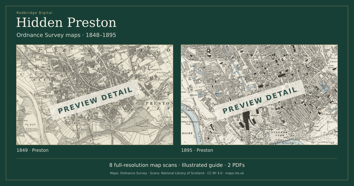
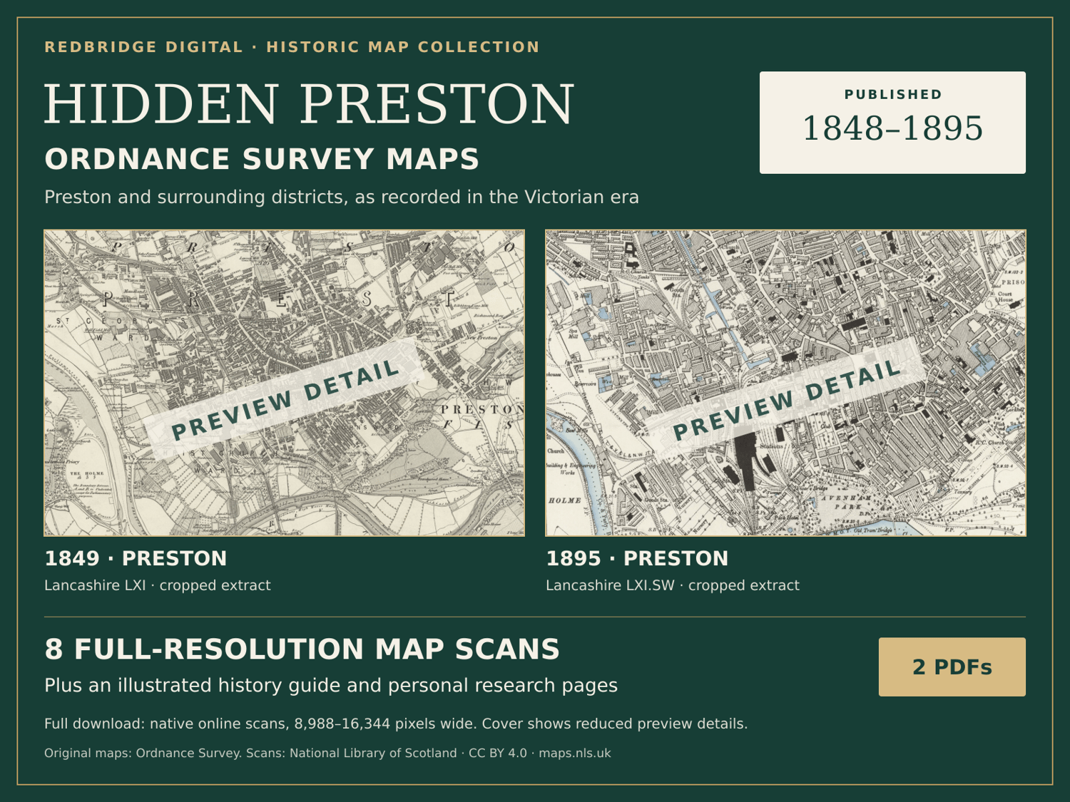
Explore historic Preston through eight selected Ordnance Survey maps and an illustrated local-history guide.
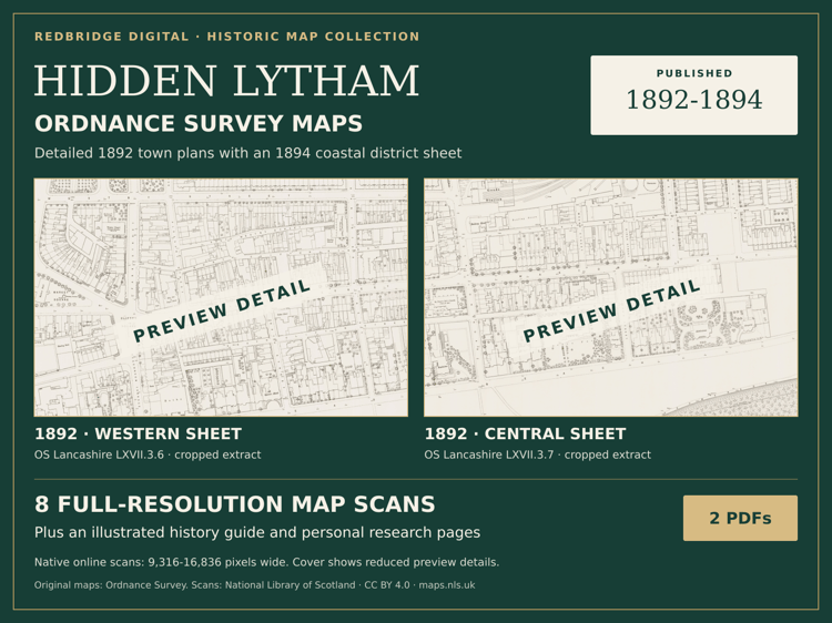
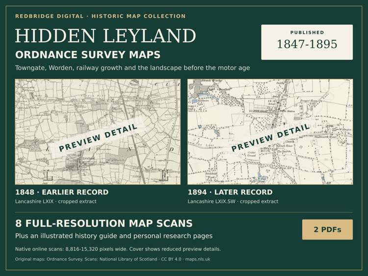
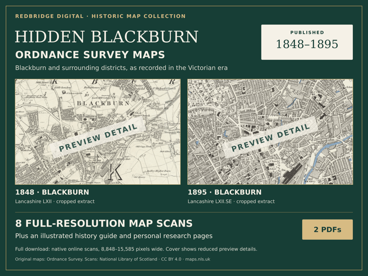
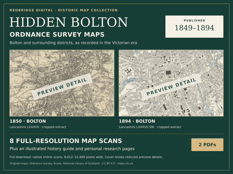
£9.99 buys two PDFs: a 12-page atlas and a 20-page illustrated guide with 31 editable fields. Individual sheet dates and source references are in the books. Some Lancashire editions share source sheets; check the previews for the area you want.
The Preston PDFs carry faint Redbridge Digital branding in the page margins.
Digital books only. Prints and frames are separate. Save the full files to your device before opening.
Want a framed birthplace map? Send your postcode and town for a map check, proof and quote:
Five download attempts per file; save a local copy.
This purchase covers the edition and original research, not exclusive ownership of the source cartography.