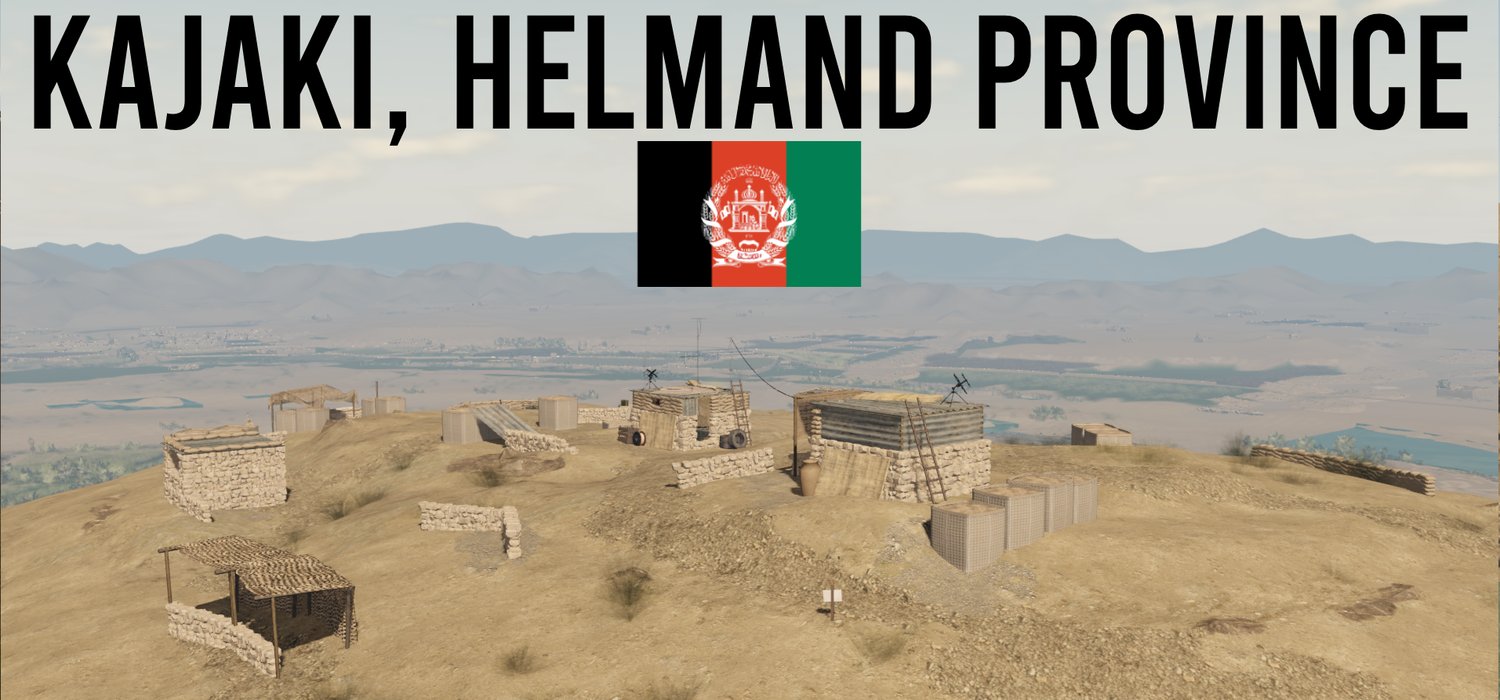
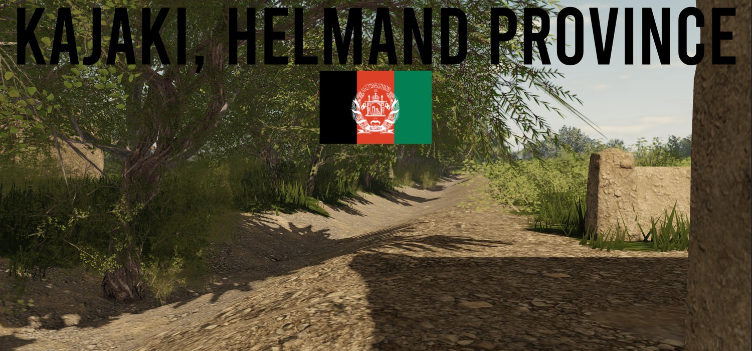
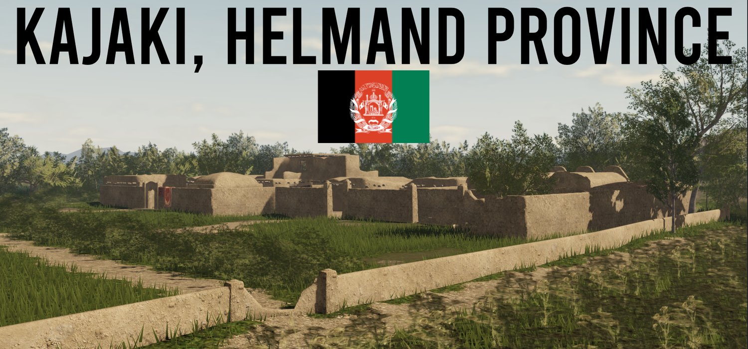

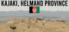

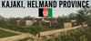
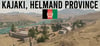
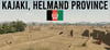
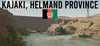
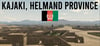
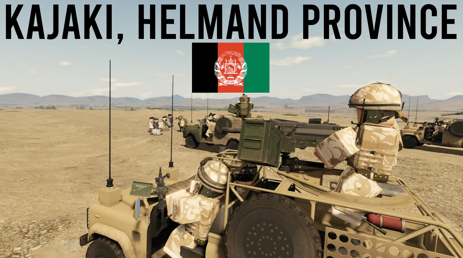
Kajaki, Helmand Province
On Sale
$28.95
$28.95
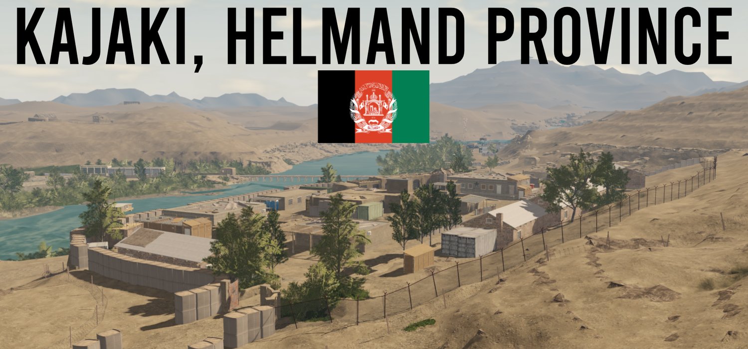
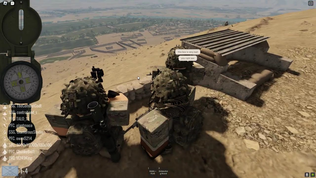
This map accurately represents the terrain, compounds, irrigation systems, and key locations surrounding Kajaki, making it ideal for new generation mil-sims and combat operations.
Kajaki is widely regarded as the nicest looking Roblox Afghan map ever made, and is now for sale.
The map includes:
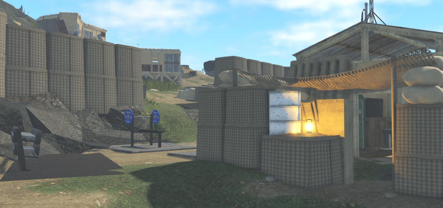
- x1 FOB Zeebrugge (1:1)
- ^ Mortar Pit, Canteen, x4 Accommodation buildings, x2 Gates, x2 Outposts, South NATO Headquarters Building, Elder-Meeting building and so much more
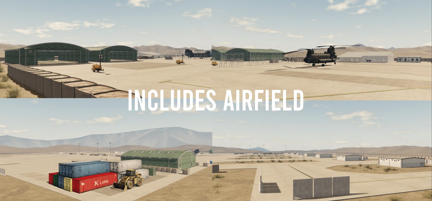
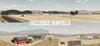
- x1 Airfield (1:1)
- ^ 10k studs from main map, 4x hangers, x1 Field Hospital for MERT/Medical
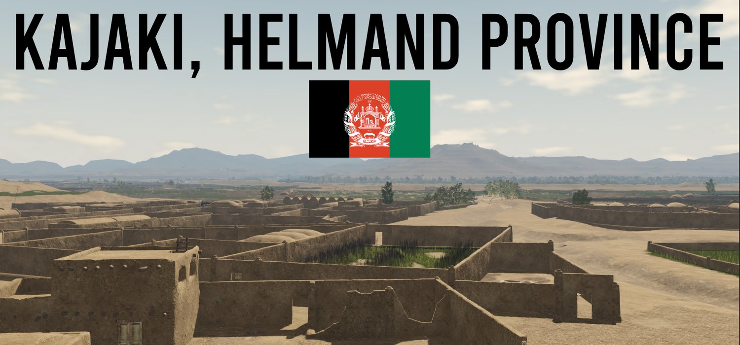
- x1 Main Town
- ^ Built up market stalls, shops, functioning farming shops, hairdressers and Afghan Local Police base.
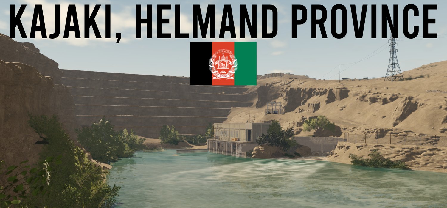
- Kajaki Dam (1:1)
- ^ Built 1:1 as of real life in 2008, interior contains a 1:1 representation of the Dam with 2 turbines.
- The dam connects all power lines which run across the map
- x2 OPs (1:1)
- ^ OP Athens and OP Normandy, built as seen in the film "Kajaki", both are functional for BLUFOR positions overlooking the map.
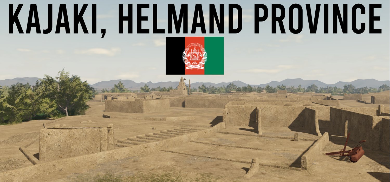
- x5 Large Farming Villages
- ^ Functioning farming villages, some with places of prayer
- x6 Small Functional Villages
- ^ Often placed as of real life by the waters/rivers.
- Underground Tunnel Complex
- ^ Covering most of the North Side of the map, functioning for illegal weapons trades/recreational use.
- x1 ANSF Headquarters (1:1)
- ^ Large multi-story building serving as a main headquarters for ANP, ANA and ALP.
- x1 ANA Compound (1:1)
- ^ FOB-style outpost in the desert
- Farming, Irrigation Land
- ^ Covers most of the North/East side of the map
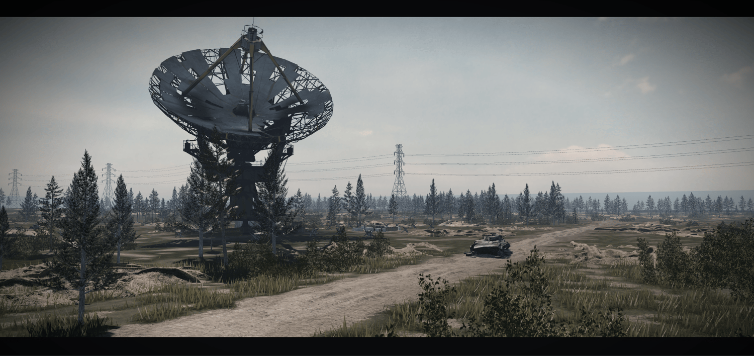
- x1 Communications Outpost
- ^ Located high on a mountain, contains facilities fit for ground to air communications
- Industrial Facility
- ^ Connects sewage in Kajaki, highly customisable.
- Custom Materials and Textures
- Compounds covering most of the map
- Concrete/Metal Roads perfectly on terrain stretching the whole map
- Kajaki River cutting through the centre of the map
- ^ streams/outflows connecting to most villages, acting as navigation
- Shura/Village Elder meeting complex
- Kajaki Mosque (1:1)
- x2 Bridges connecting the East and Western areas of Kajaki
- ...and SO MUCH MORE
This is a product provided by Sonders Exclusive