
Lake Lanier GA ( + version )
Lake Lanier ,Georgia
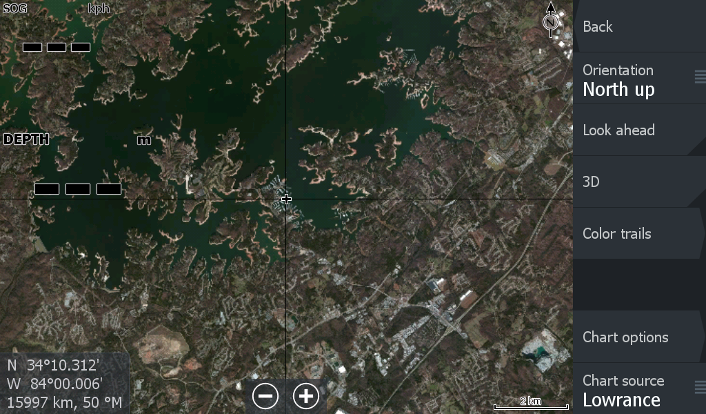
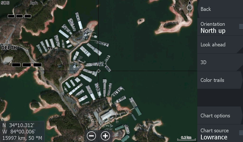
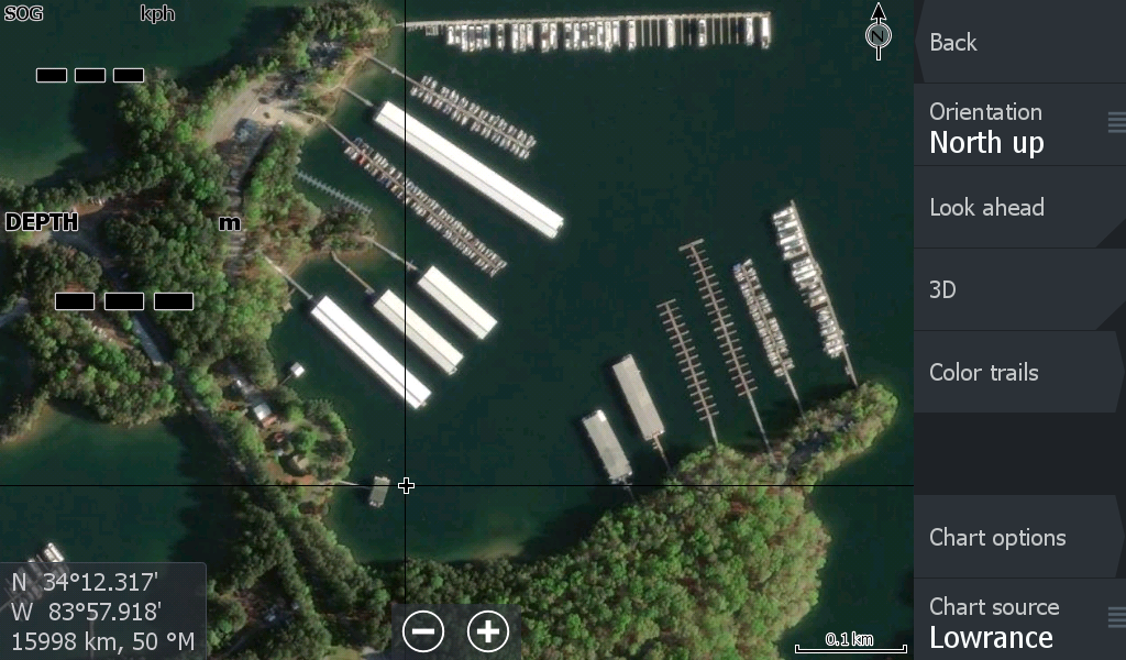
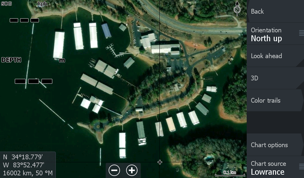
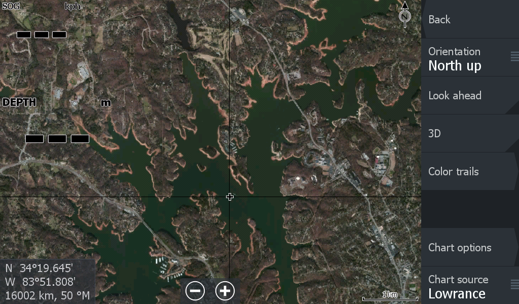
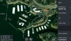
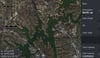
***OK, The Lake Lanier Map is a bit different from all our other maps. Because Lanier is on its own and is fairly isolated from other Lakes and a smaller footprint, we created an extra imagery layer ( Better zoom to the next level). We would love to do this for all our maps, but the extra data is not always practical for the Chart Plotter.
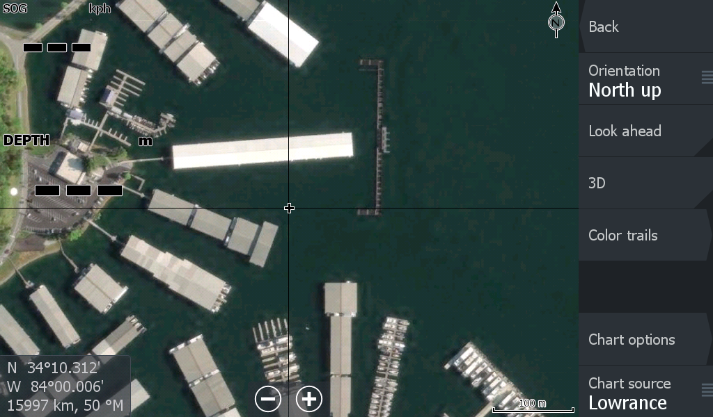
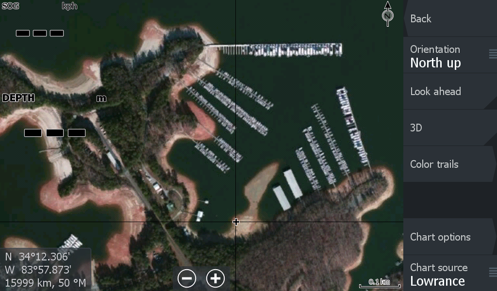
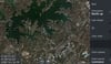
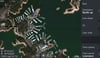
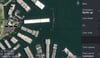
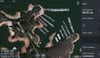
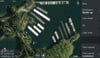
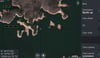
The images displayed show many of the boat storage docks that many of you are familiar with over the lake (Limited to 9 images).
When you are ready for a bit of color in your boating maps , have a look at LakeviewMaps.com.
Specialising in satellite imagery overlays on your Lowrance , Simrad , B&G Chart Plotters.
You choose the Lake Maps you want at a great quality
Lakeview Maps are designed to be a practical alternative / option to make your navigation on the Lakes a bit more colorful.
Our maps may or may not be the latest imagery out there, but we have chosen the clearest where possible, we have looked at various water levels and usually try for imagery that displays average water levels. For Lakes with many known hazards, please use your built in Navionics charts for guidance.
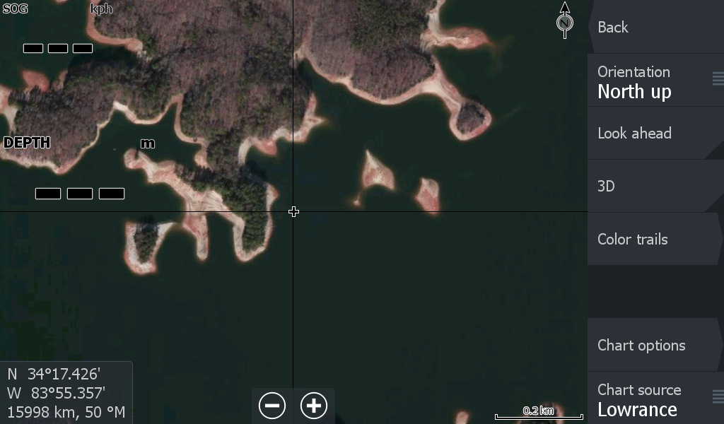
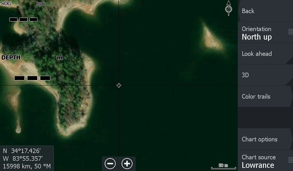
You can zoom in to a certain level before it starts to blur. Several images above show the extent of the Zoom. Many of the lake boat storage docking areas can be zoomed in further, but then you only get an image of somewhere non-descript. It's not about seeing Grandma's house, its about having another mapping option/tool in your chart plotters toolbox for a reasonable price. So enjoy a bit of color.
Follow the Tutorial if needed to download, unzip the file & get your map onto a micro sd card. & into your Lowrance Chart Plotter ( Not Eagle or Hook versions). Once in your chart plotter set the "shaded relief" tab and you are up & running.