
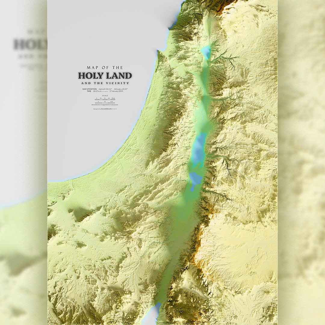


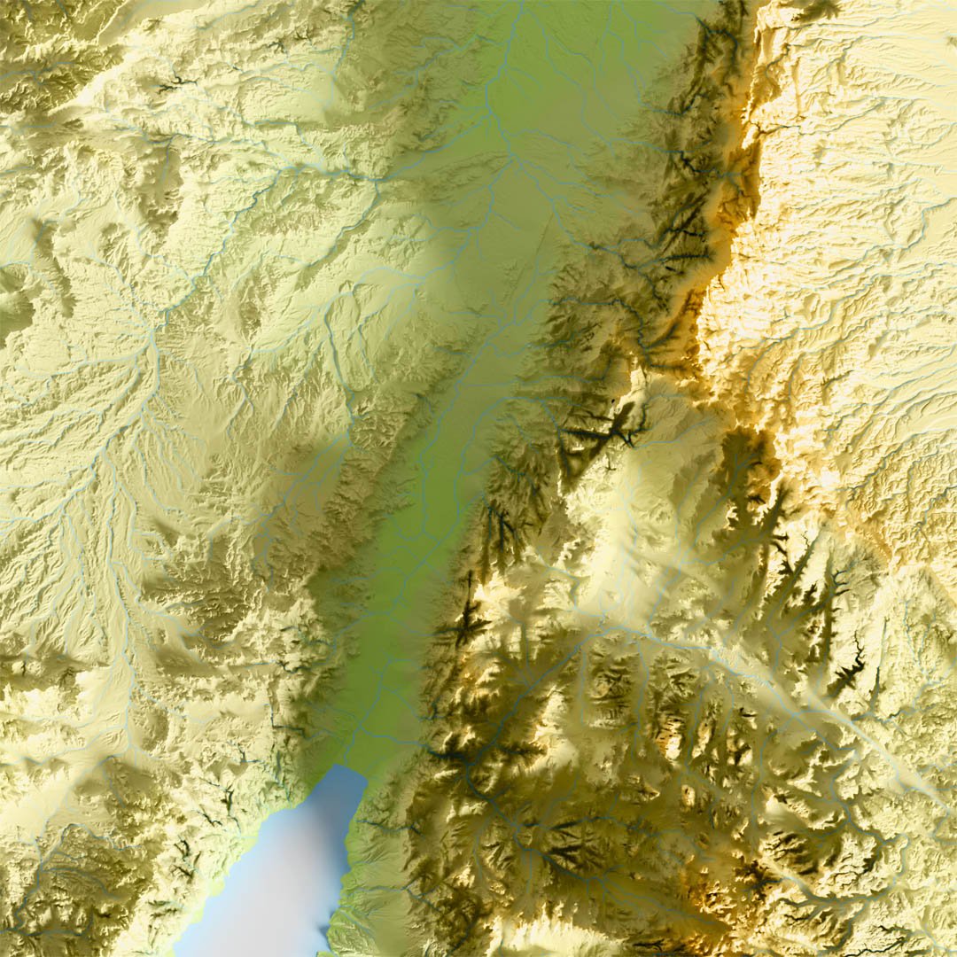

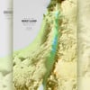


The HOLY LAND topographic and clay maps, printable, A0 A1 A2 A3 A4 paper
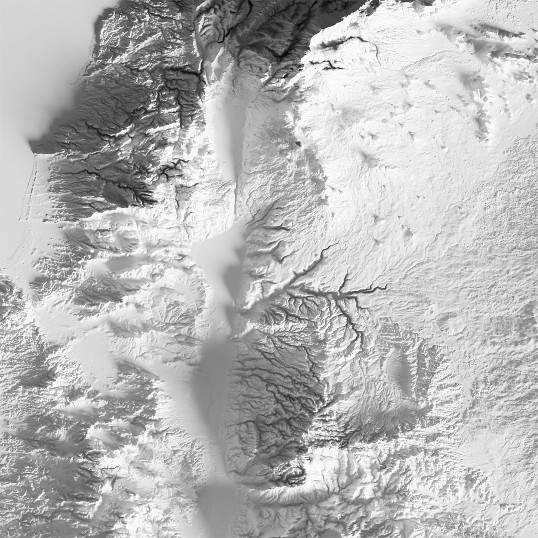
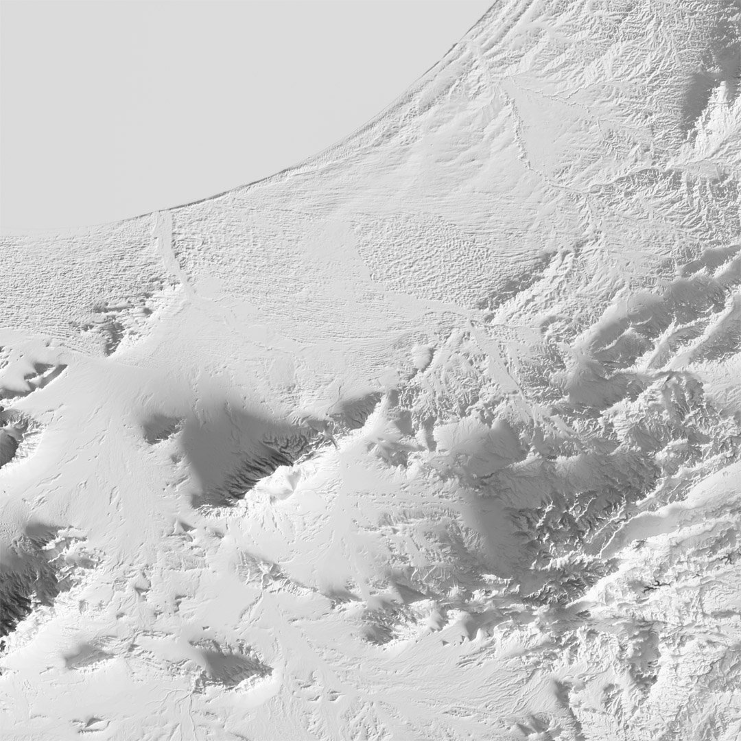
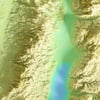
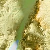
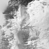
Printable shaded relief map of the Holy Land and the vicinity in the Middle East.
Available in 2 different styles:
- topographic/hypsometric tints
- monochromatic clay mode
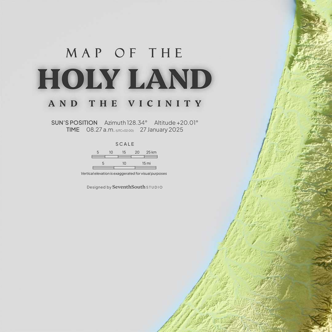
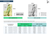
Size:
11038 x 7808 pixels
Format:
PNG
Resolution:
Vary depends on paper size
- 230 dpi on A0 paper
- 334 dpi on A1 paper
Please refer the attached printing guide page for details of final resolution and scale.
-------
DISCLAIMER
Personal Use Only: These maps are provided for personal use only. You may print them for your own use and display them in your home or office.
No Commercial Use: You are not permitted to use these maps for any commercial purposes. This includes, but is not limited to, reselling, redistributing, or using the maps in any products or services for profit.
Non-Transferable Copyright: Purchasing the product does not transfer the rights of this digital product. The rights remain with the creator. If you wish to use this product for any purpose, please contact me for licensing information.
Non-refundable.