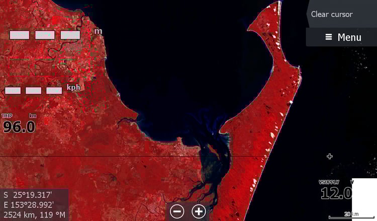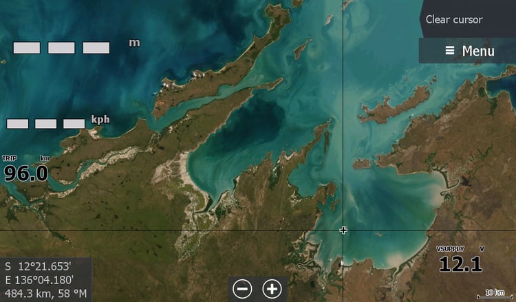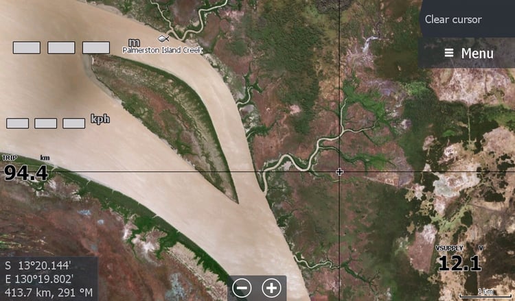
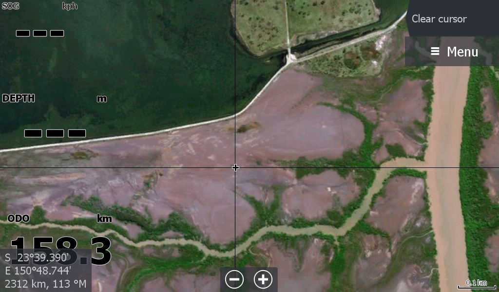
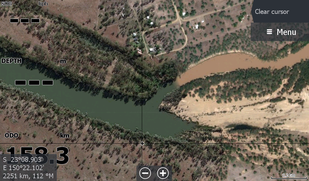
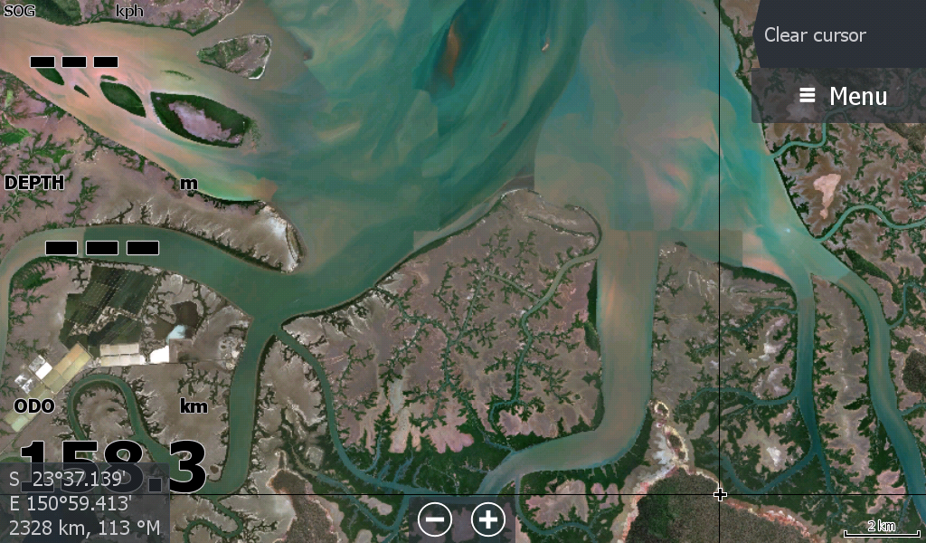
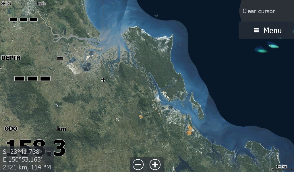
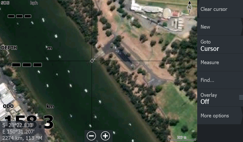
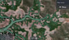
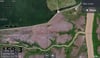
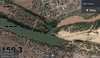
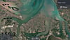
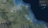
Fitzroy River Region Qld General Satellite Map
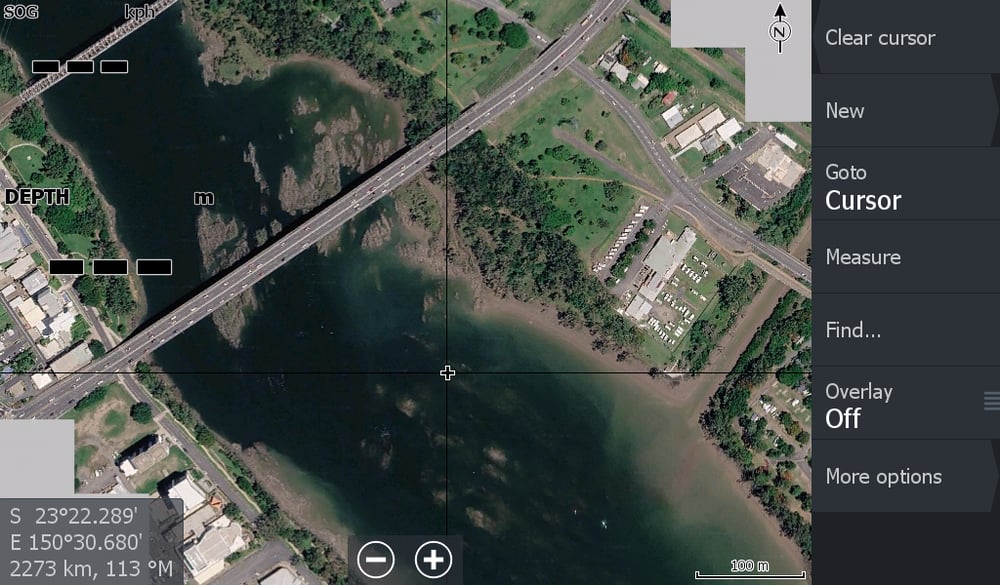
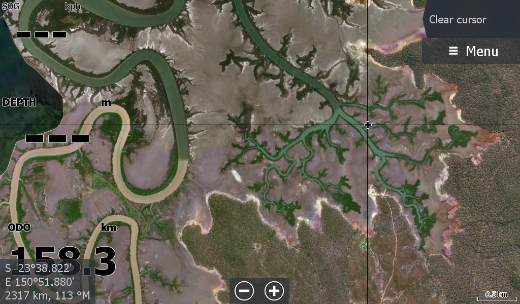
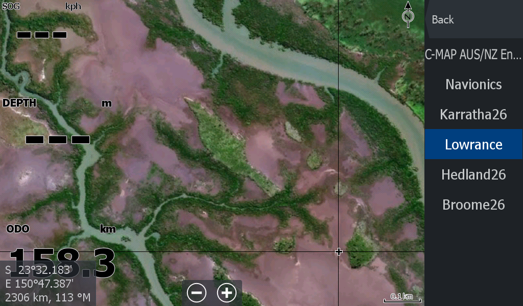
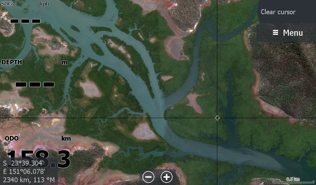
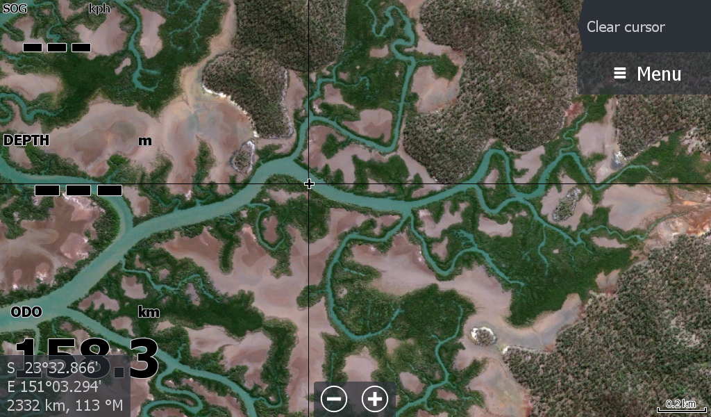
The Mighty Fitzroy River General Satellite Map - Covering 120 km of the Fitzroy River upstream through Rockhampton. North to Emu Park. South to Agnes Water. Including The Narrows , Gladstone, Curtis Island, Cape Capricorn, Tannum Sands, Hummock Hill Island, Seventeen Seventy, and all the creeks & mangroves in between.
Includes Boyne River & Awoonga Lake
The map includes some of the local islands, but several smaller ones & High Tide reefs are missing on zoom. ( Wiped out by the satellite keepers) You have your named navigation charts for the sea.
** Of note - This is not a recent satellite map, so sandbars on the map have moved. Especially 1770 sandbars.
Even the main river course map have changed during the recent flood events.
The Low Tide Map for Fitzroy River Region is the best option for sandbars
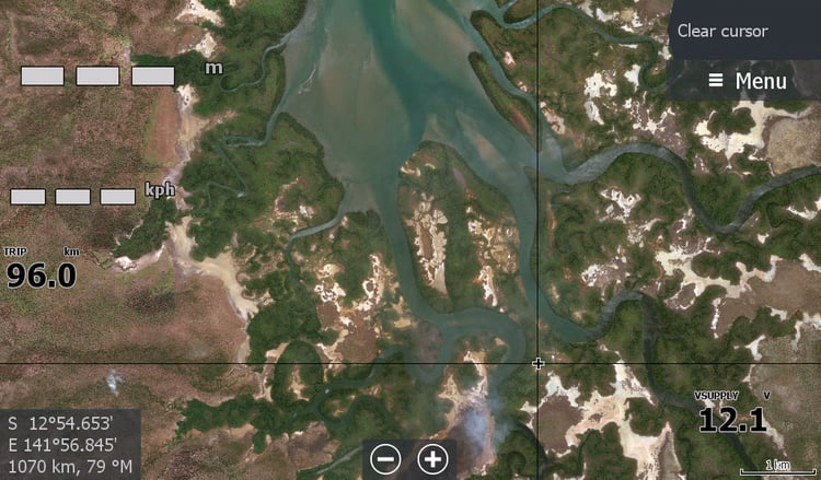
This map is for the creeks and mangroves that should be stable & do not get a visual mention on Navionics & CMap.
This is for the boaters who fish the Creeks & Mangroves, so you can see where you actually left your pots, not just a mark on a blank yellow page.
There is also Low Tide Sandbar map for this region, that you use in conjunction with this map.
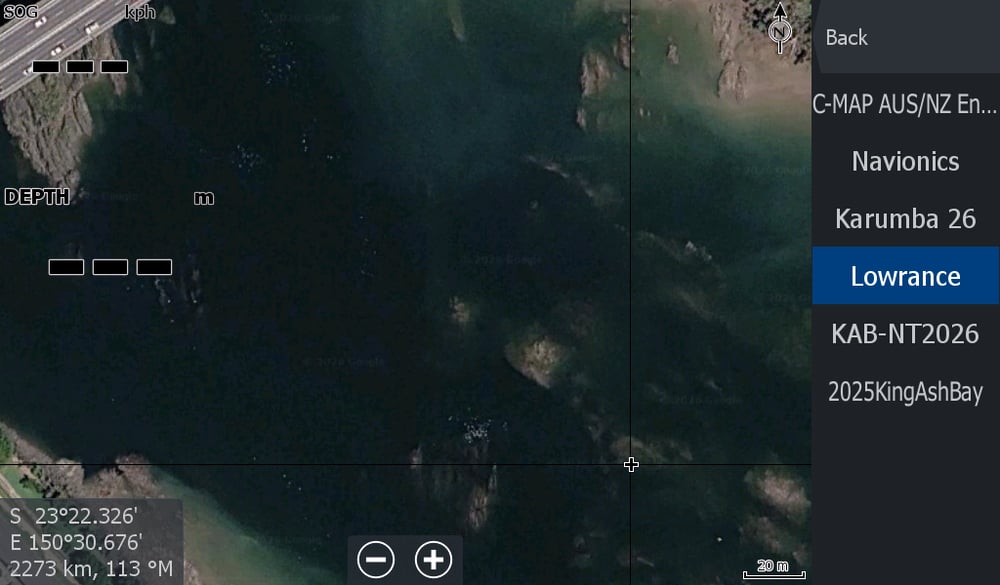
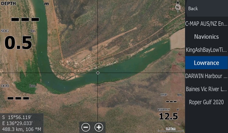
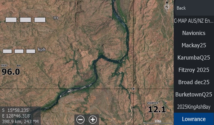
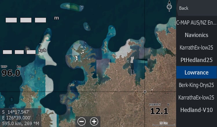
This map is another tool in your Navigation/map options. It will show under the Chart Source > Lowrance Tab once installed.
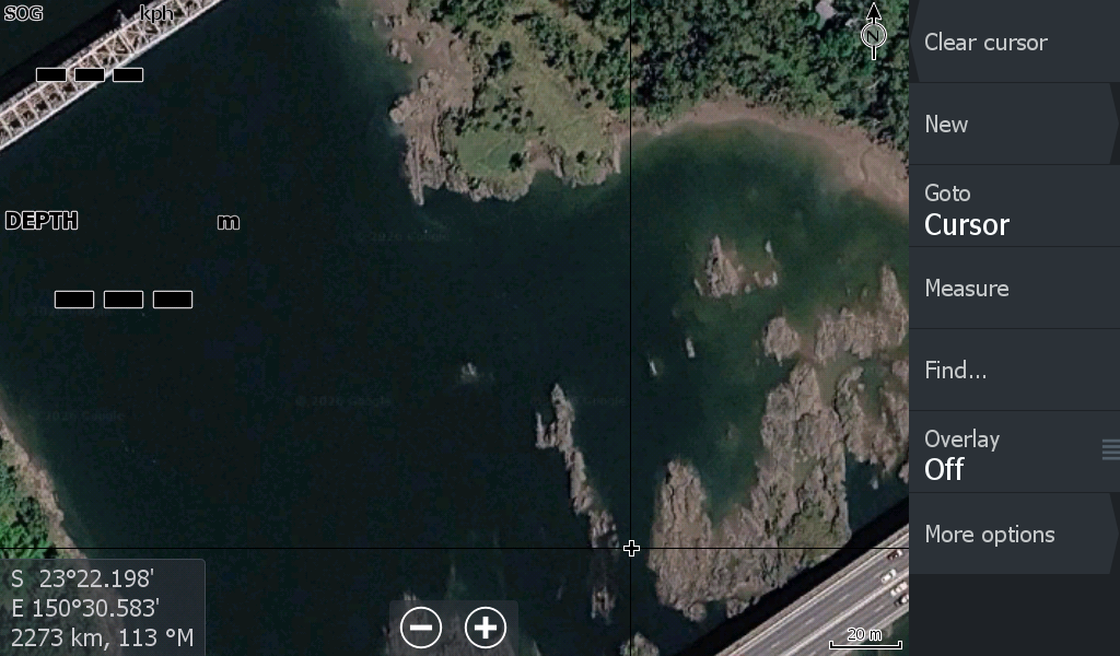
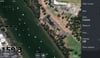
I have added another layer of zoom at the town bridges / boat ramp area showing more of the rocks in that area.