




LidarToolbox for Track Building
On Sale
€16.00
Pay what you want:
(minimum €16.00)
€
LidarToolbox makes it fast and easy to work with lidar point clouds, Digital Elevation Models (DEMs) and GIS data. It removes the complexity of coordinate systems, classifications and traditional GIS software. Generate detailed terrain meshes in minutes, process massive datasets on standard Windows PCs, and spend more time building tracks instead of preparing data.
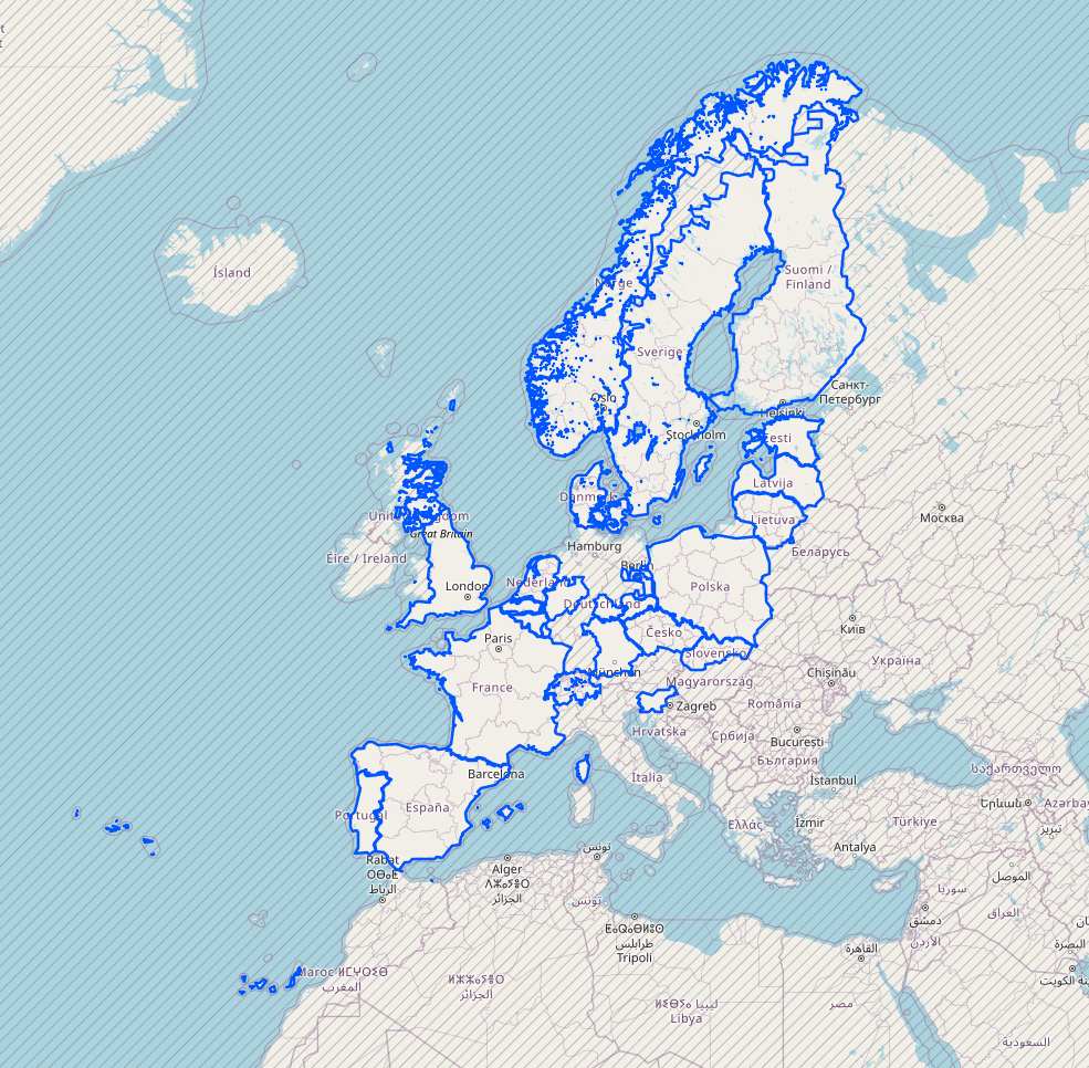
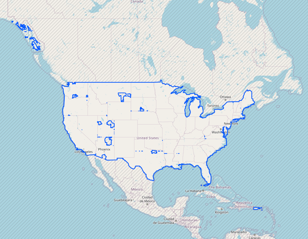
Check integrated lidar and 1m DEM source coverage on this interactive map. If you have data for other regions, in most cases it can be importing manually.
Key Features
Terrain Generation & Optimization
- Proximity-based meshing: Generate detailed terrain meshes in minutes, automatically optimizing geometry density based on distance from the track.
- Efficient processing: Handle massive lidar datasets on a standard consumer-grade Windows PC, without requiring workstation hardware.
- Autmatically clip, merge and colorize road zones, or zones of interest from multiple lidar tiles into a single lightweight file.
Data Acquisition & Mapping
- Integrated data downloader: Locate and download lidar/DEM data from supported countries directly within LidarToolbox.
- Satellite image texturing: Precisely align satellite imagery or colorize raw lidar points for realistic environmental previews.
- Automated coordinate detection: Take the guesswork out of imports; the tool (semi)automatically identifies and applies the correct coordinate systems for unknown lidar and raster DEM sources.
Route & Track Tools
- Rally-Maps integration: Import official rally routes directly from Rally-Maps.
- GPX track editor: Create, edit and refine track routes inside the application.
- Visibility analysis: Analyze line-of-sight from the driver's perspective to help determine terrain boundaries and prioritize scenery creation, and automate further terrain decimation based on visibility.
Visualization & Export
- Built-in 3D viewers: Preview point clouds, DEMs and terrain meshes without switching applications.
- One-click Blender export: Open generated meshes directly in Blender with automatic origin centering, scaling and orientation.
-----------------------------------------------------------------------------------
- Getting started and documentation
- The plugins for Race Track Builder can be added for free during checkout
- Some videos demonstrating the main features