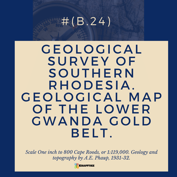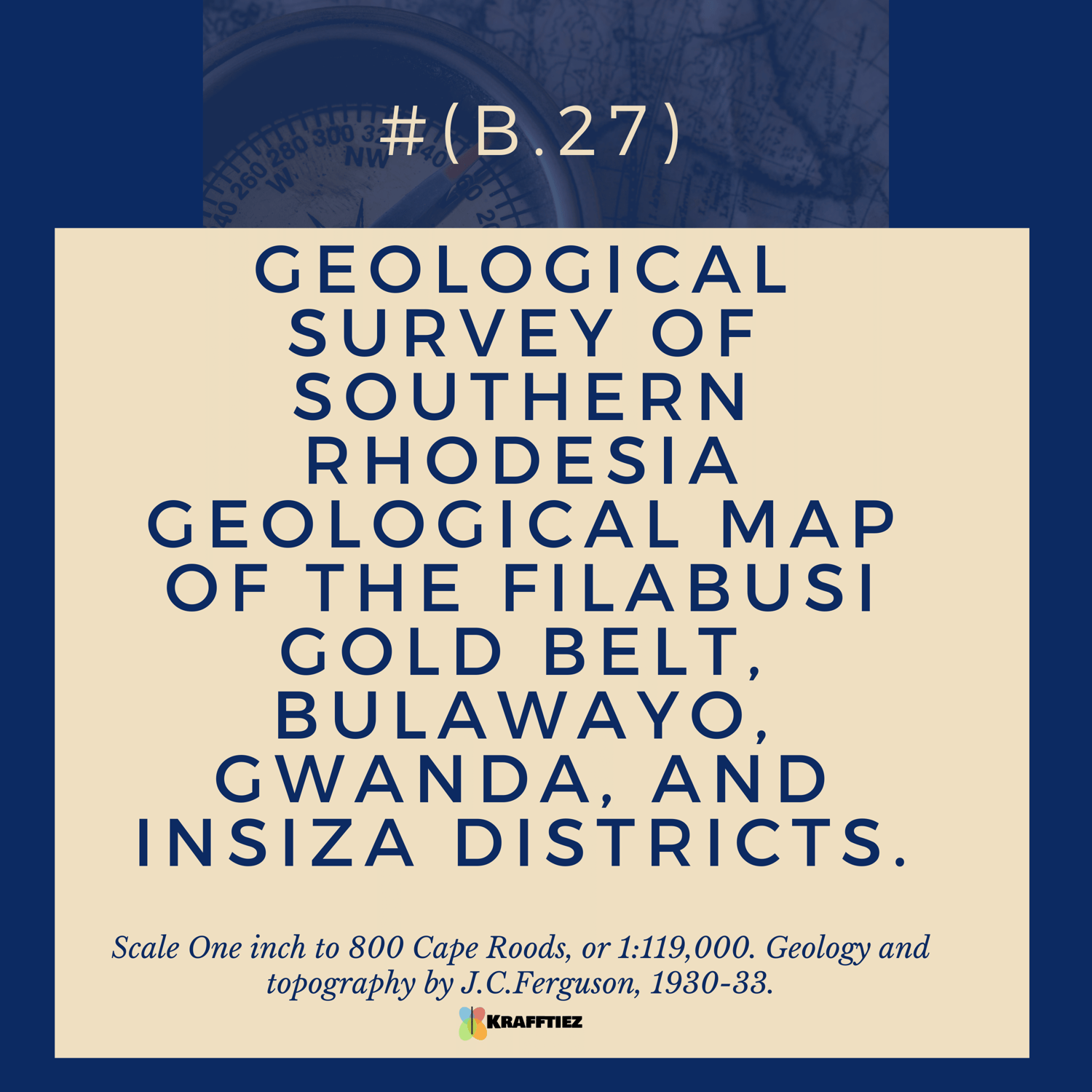
GEOLOGICAL SURVEY OF SOUTHERN RHODESIA GEOLOGICAL MAP OF THE FILABUSI GOLD BELT, BULAWAYO, GWANDA, AND INSIZA DISTRICTS.
On Sale
$500.00
$350.00
This Geological Survey of Southern Rhodesia map displays the geological features of the Filabusi Gold Belt, located in the Bulawayo, Gwanda, and Insiza districts. The map is drawn to a scale of one inch to 800 Cape Roods, or 1:119,000. It was created by J.C. Ferguson between 1930 and 1933. The map displays geological features such as the gold bearing rock formations, fault lines, and drainage systems, as well as topographical features such as hills, valleys, and rivers. This map is a useful tool for geologists and miners who wish to explore the area for potential gold deposits.
(B27) GEOLOGICAL SURVEY OF SOUTHERN RHODESIA GEOLOGICAL MAP OF THE FILABUSI GOLD BELT, BULAWAYO, GWANDA, AND INSIZA DISTRICTS. Scale One inch to 800 Cape Roods, or 1:119,000. Geology and topography by J.C.Ferguson, 1930-33.