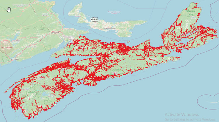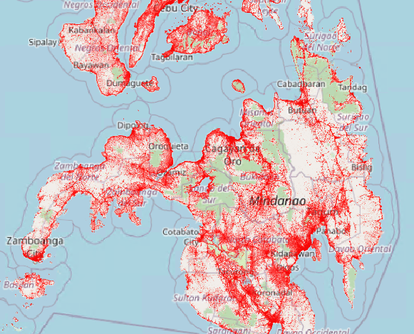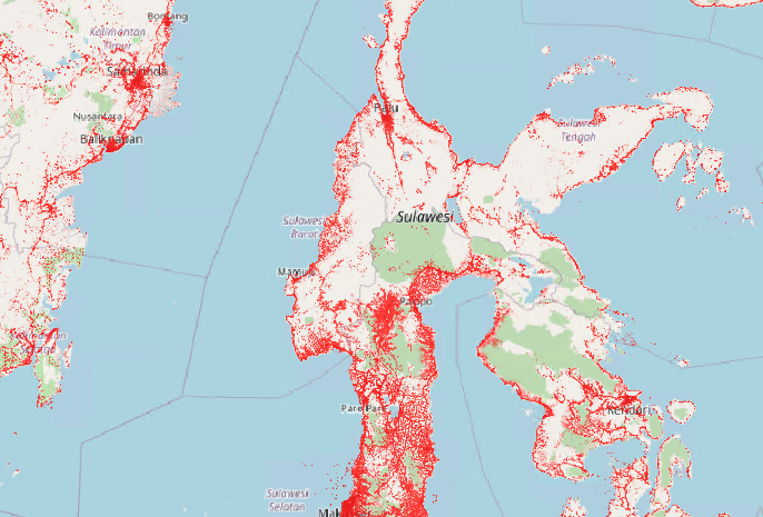


Microsoft building footprints - GPKG Format - Malaysia ( 1.6 GB )
Microsoft building footprints are digital representations of building outlines, commonly used in mapping and geographic information systems (GIS). They capture the shape and size of structures in a given area and are typically stored in GeoJSON format. However, these files can be large, which may lead to slower loading and performance issues when working with GIS software. To improve efficiency, GeoJSON files are often converted to the GeoPackage (GPKG) format. This conversion reduces file size, enhances load times, and optimizes data handling. The GDAL library is commonly employed for this process, ensuring faster processing and smoother interaction within GIS applications
This is the GeoPakage version of the Building Footprint Data
Website : https://tilerepo.net/
**Due to the large file size, you will receive a text file with the file details and a download link.