Hidden Carlisle — Historic Maps & Research Guide
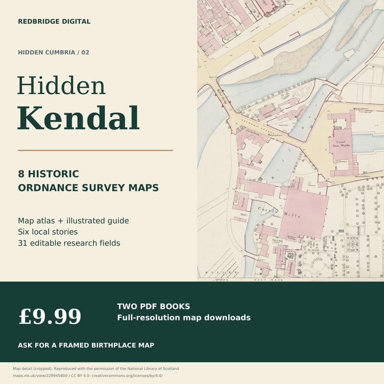
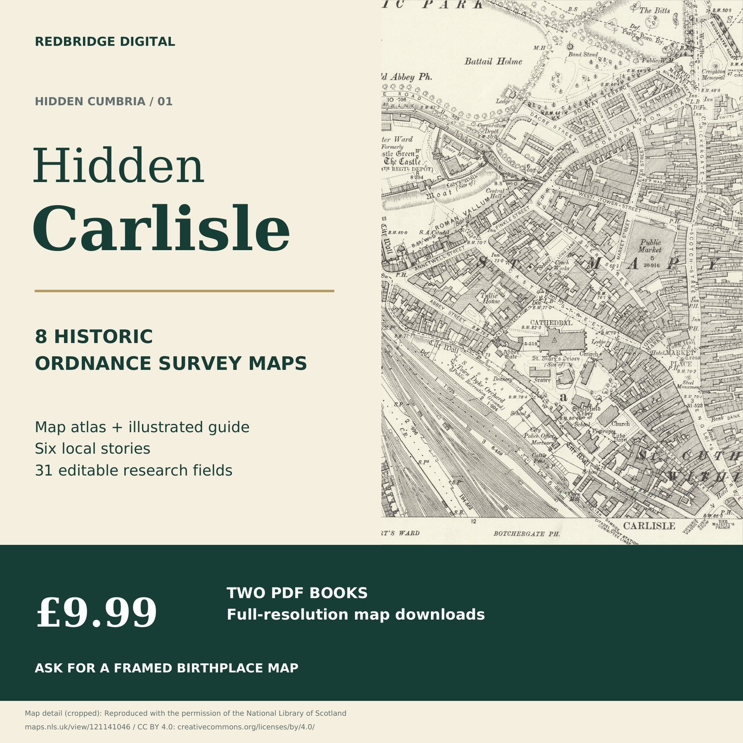
Explore Carlisle’s castle, cathedral, Tullie House, streets and river crossings through eight selected historic Ordnance Survey scans.
£9.99 buys two digital PDFs: a 12-page map atlas and a 20-page illustrated research guide with 31 blank editable fields.
Send your postcode and town for a framed close-up or four adjoining maps in one frame. We’ll confirm map dates, size and price with your preview.
Ask for a framed birthplace map
Historic Cumberland. Six detailed sheets and two wider views, including earlier/later comparisons. Catalogue publications circa 1864–1925; survey and printing dates vary. Selected local coverage.
Digital download only. Framed prints are quoted separately; no digital purchase is required.
Download fully and save a local copy. Use a form-supporting PDF reader. Five download attempts per file.