
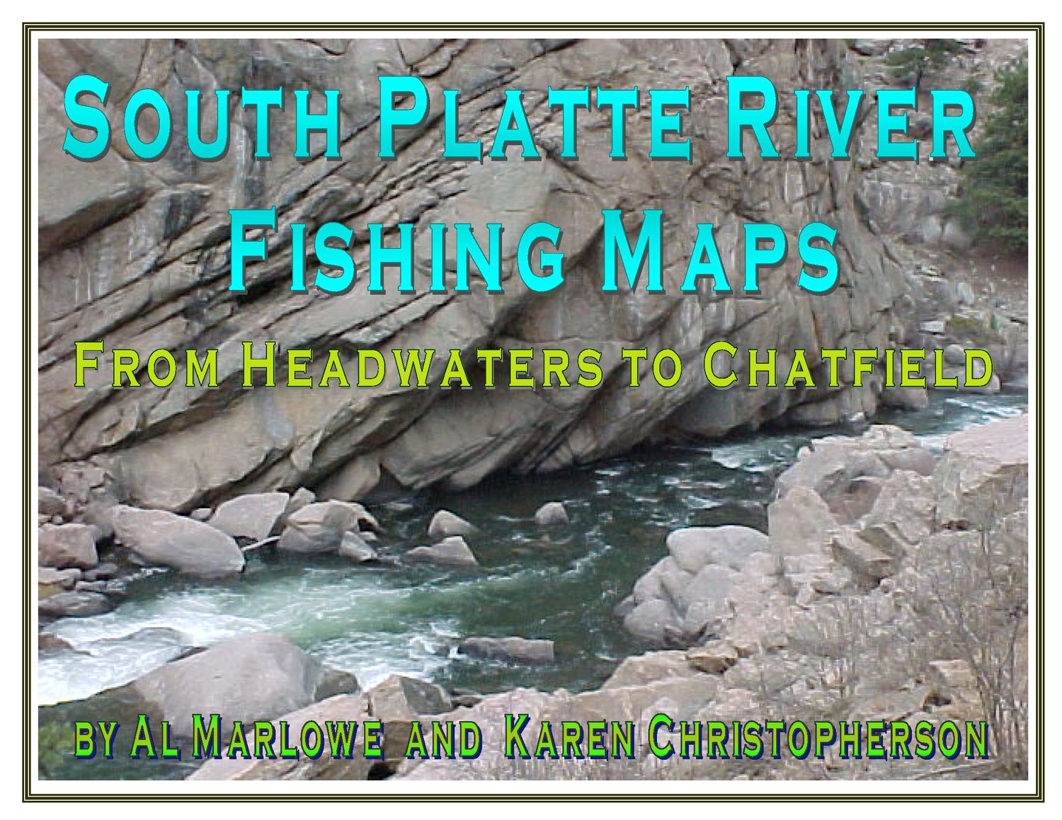
South Platte River Digital Fishing Map
On Sale
$11.95
$11.95
South Platte River maps in digital format (download).
Produced in 2010, with latest update in 2019, by Al Marlowe and Karen Christopherson, authors of several ebooks on flyfishing in Colorado.
This series of 17 maps shows fishing access on the South Platte River from the headwaters in South Park and Kenosha Pass to Chatfield Reservoir southwest of Denver. Includes the North, Middle, and South Forks as well as other tributaries such as Michigan, Tarryall, and Four Mile Creeks. A hatch chart for the river is also included. Updated 2019.
Maps are in digital format, Adobe Acrobat pdf. Each page is 8.5 x 11" so that pages can be printed easily on your home printer.
Requires Adobe Acrobat Reader 8 or higher, which is free. Can also be read on Adobe Digital Editions.