
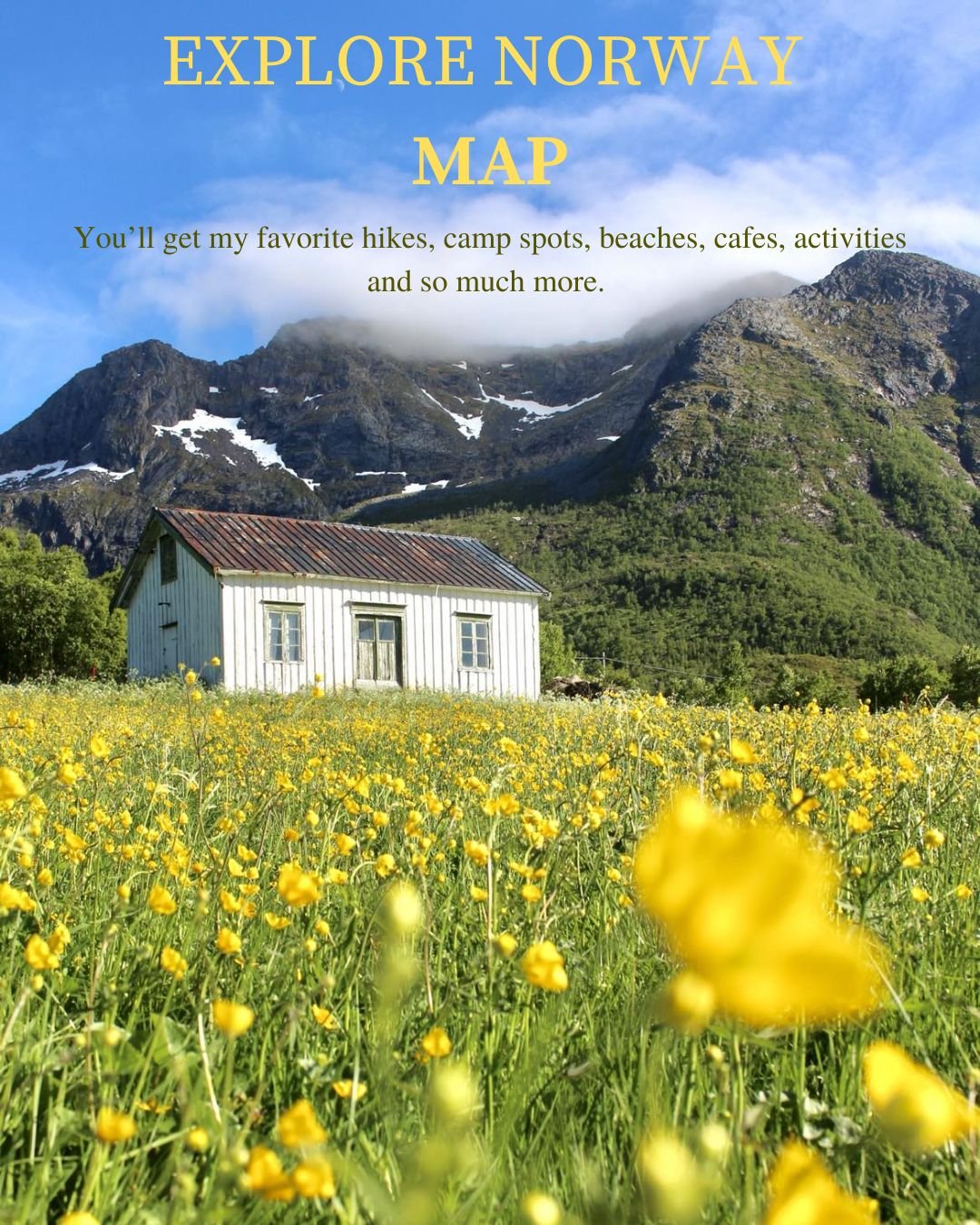


Explore Norway Map
Wanna use less time on planning and more time on exploring beautiful places in Norway? Then this map is for you!
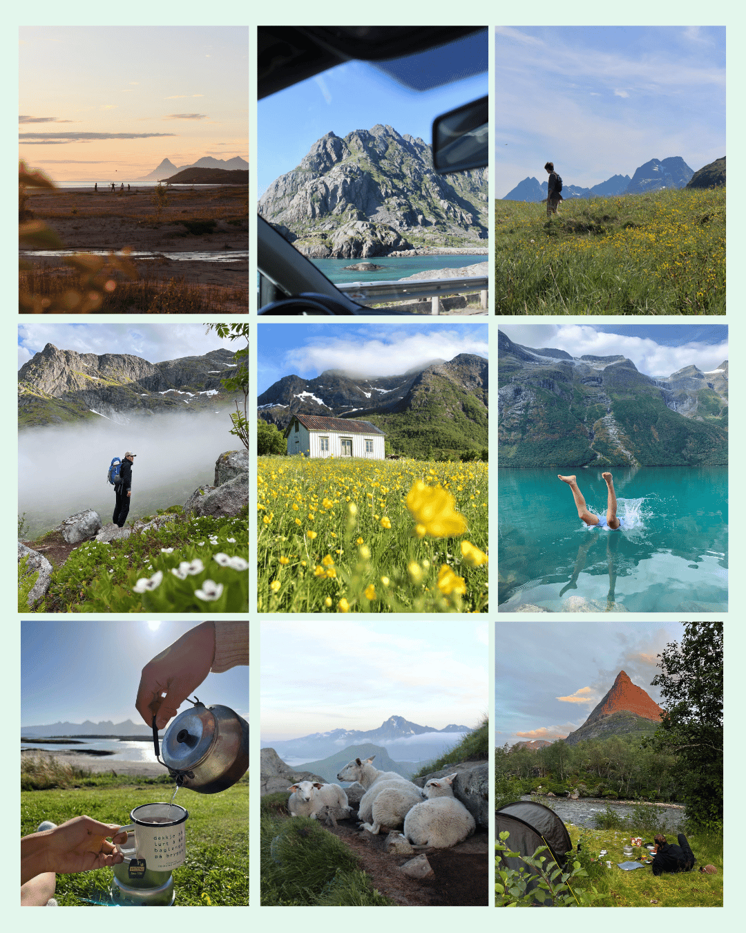
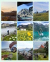
I've collected our favorite places after traveling in Norway for 6 years on our little road trips<3
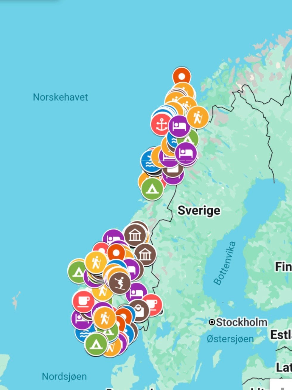
It includes 300 pins in the country, raging from:
- Links to hiking descriptions, opening hours and so on.
- Hikes
- Swimming spots
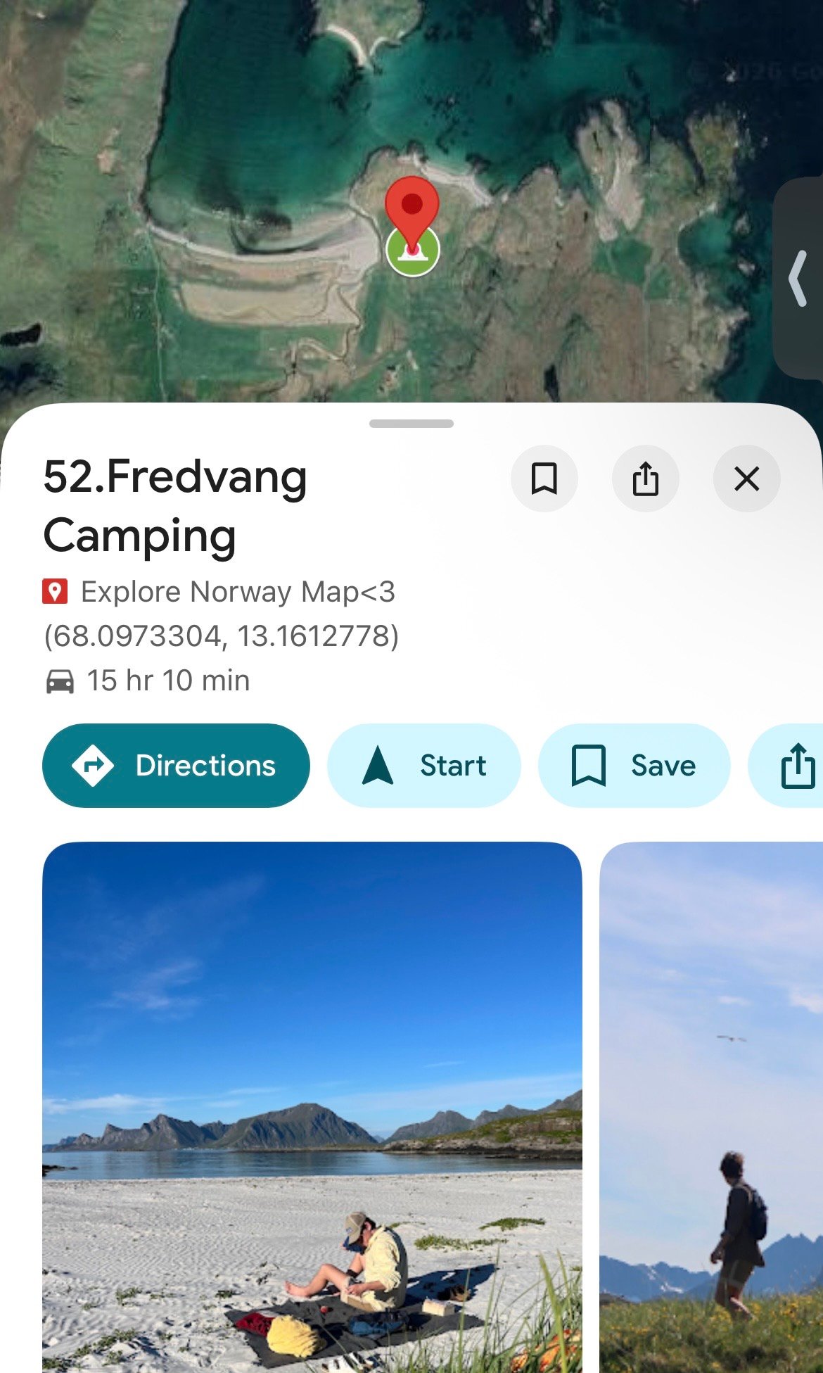
- Camping spots
- Cabins
- Stays
- Viewpoints
- Cafes, bakeries
- Restaurants
- Shops
- Activities, like climbing, pottery and horse riding
- Parking spots
- Cute places
- And so much more
- It includes the areas: Vesterålen, Lofoten, Helgelandskysten, Trøndelag, Western Norway, Eastern Norway, Southern Norway. Not Troms and Finnmark as I haven't been there yet<3
Why get the guide?:
- We'll use the map together! So I'll continue to add places for us to explore in the map you'll purchase.
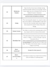
- The pins include a little explanation about the spot/hike etc. + often have links so you can check things out in more detail. This is to help you use less time on planning<3 This information will be found in the second PDF-file (Explore Norway More Info).
- The map is easy to check to see if there are any places nearby while roadtripping.
- It can also be used to find your own 'must see' places before you go to the country!
You'll receive two PDFs on mail. The first PDF will include some general information about traveling in Norway (20 pages with when to go, mountain code, freedom to roam, expectations etc.) + link to the map<3 The map works best if it's opened in the free Google Maps app on your phone, or opened with a computer. The second PDF will include more information and links to most of the spots. They will be organized in numbers, like each pin in the map is, so you can easily find what you need<3
The map will save you time on planning, although be aware that this is not a map with finished itineraries and guiding, but spots I've written about and added some photos to<3