

Applied Imagery Quick Terrain Modeller v8.4.4.0 (USA Edition)
On Sale
$25.99
$25.99
➔ Click to Order on Telegram 🛒
Note: 💳 Payments accepted via PayPal, Payoneer & UPI
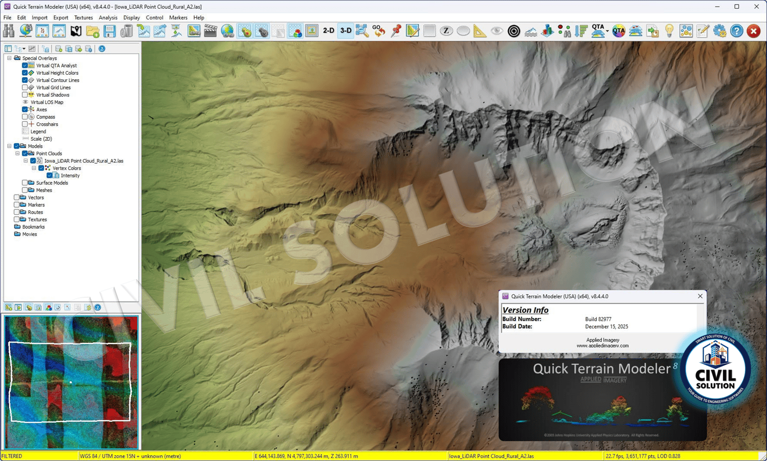
🏞️ Applied Imagery Quick Terrain Modeller (QTM) v8.4.4.0 (USA Edition) - Build Date: 12th Jan, 2026 is a high-performance terrain analysis, visualization, and LiDAR data processing software widely used by surveyors, GIS professionals, engineers, and defense agencies. It enables fast and accurate viewing, analysis, and measurement of massive point-cloud and terrain datasets.
📁 Installation Instructions: Please refer to the READ ME file included after purchase for complete setup guidance.
📍 NOTE: Complete installation support will be provided after purchase via AnyDesk.
🔑 Key Features
- High-speed visualization of large LiDAR and point-cloud datasets
- Advanced terrain analysis, profiling & measurement tools
- Supports LAS, LAZ, DTED, DEM, and raster formats
- 3D terrain rendering with contouring & surface analysis
- Accurate distance, area, elevation & volume calculations
- Optimized performance for geospatial & defense applications
✅ Best For
- Surveyors & GIS Professionals
- Civil & Geospatial Engineers
- LiDAR & Terrain Analysts
- Defense, Mapping & Infrastructure Projects
📦 Package Includes
- Applied Imagery Quick Terrain Modeller v8.4.4.0 (USA Edition)
- Lifetime license after activation
- Complete installer + step-by-step installation guide