
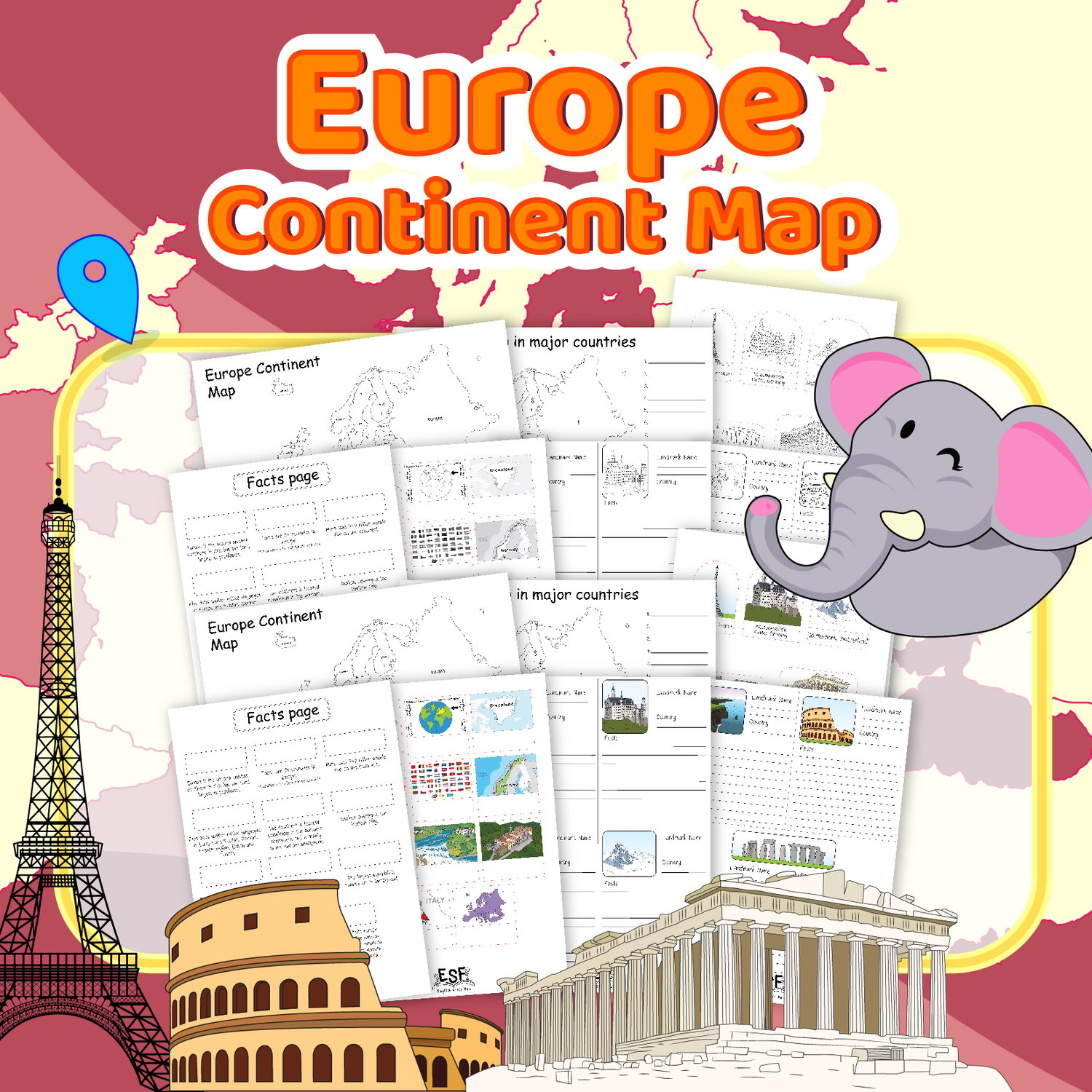


Europe Continent facts study with fun 3D pop up activities
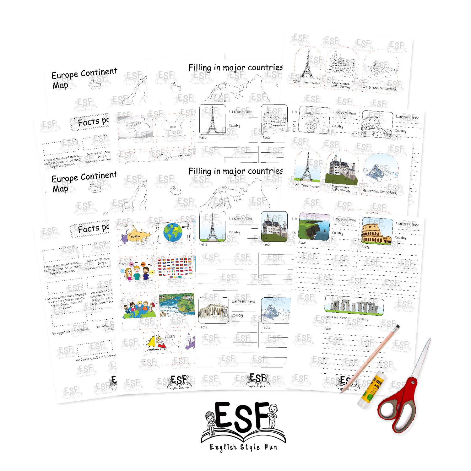
European Continent Identify major countries and 3D Pop up well known Landmarks Worksheet
If you love our 50 states worksheet this will be your next favorite!!
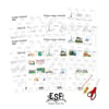
Knowing the location of each major country and important landmarks all around Europe is always an important part of education for overall geography. There are 4 parts to this package:
The first part is for your students/children to identify the location of major countries on the European Continent. This will help you assess their overall geographic knowledge.
The second part is an information page which features images of some of the important landmarks in Europe along with names, locations, and facts about each landmark. After going over the information with them, the students could be required to fill in information in the provided worksheet themselves. The answer key is included.
The third part is the facts page of the whole European Continent such as how many countries are there in Europe, the largest country, languages, etc. We gave this part a little twist and made it more fun instead of just a simple fill in the blank we turned this section into a matching worksheet with 3D pop ups for a more hands-on interaction activity!
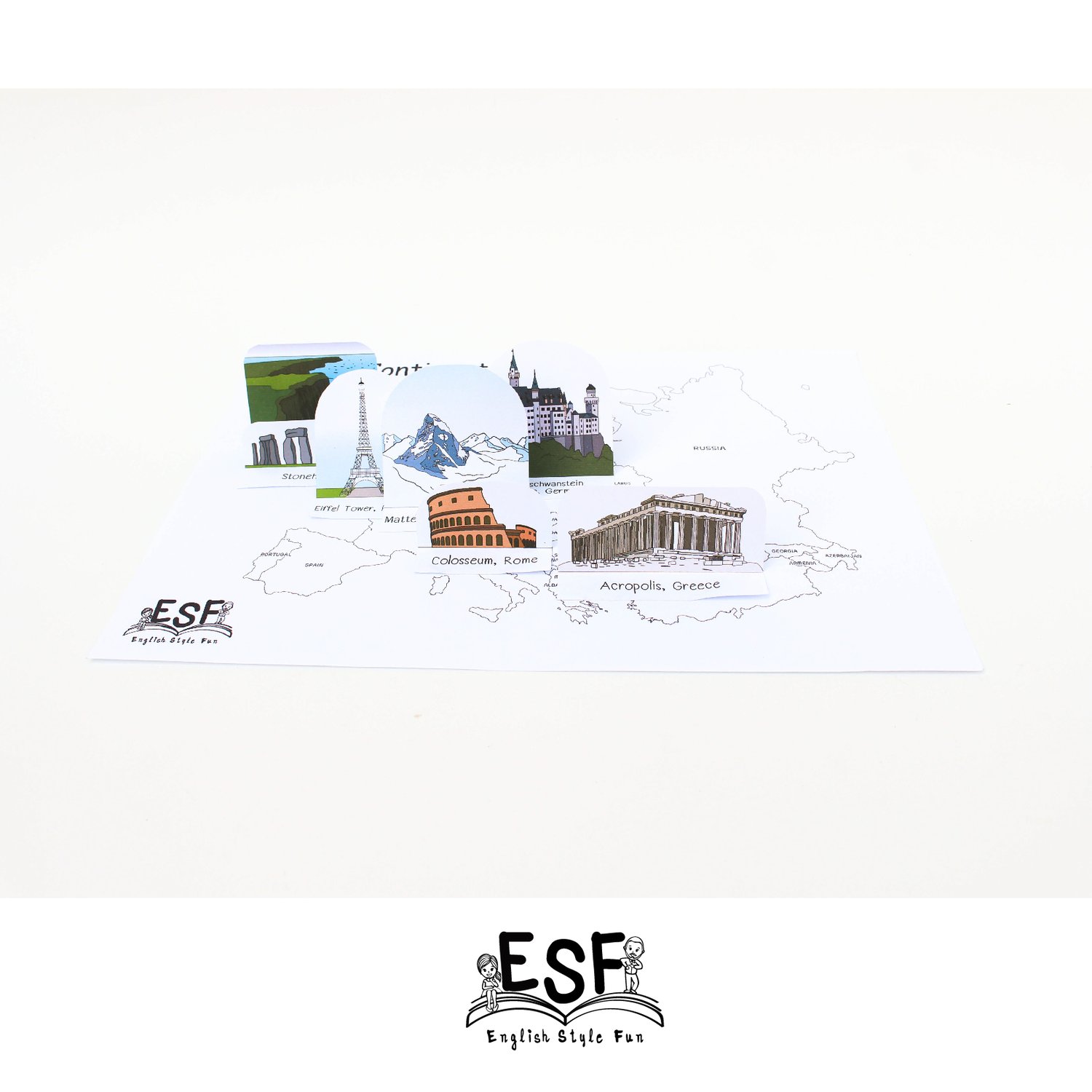
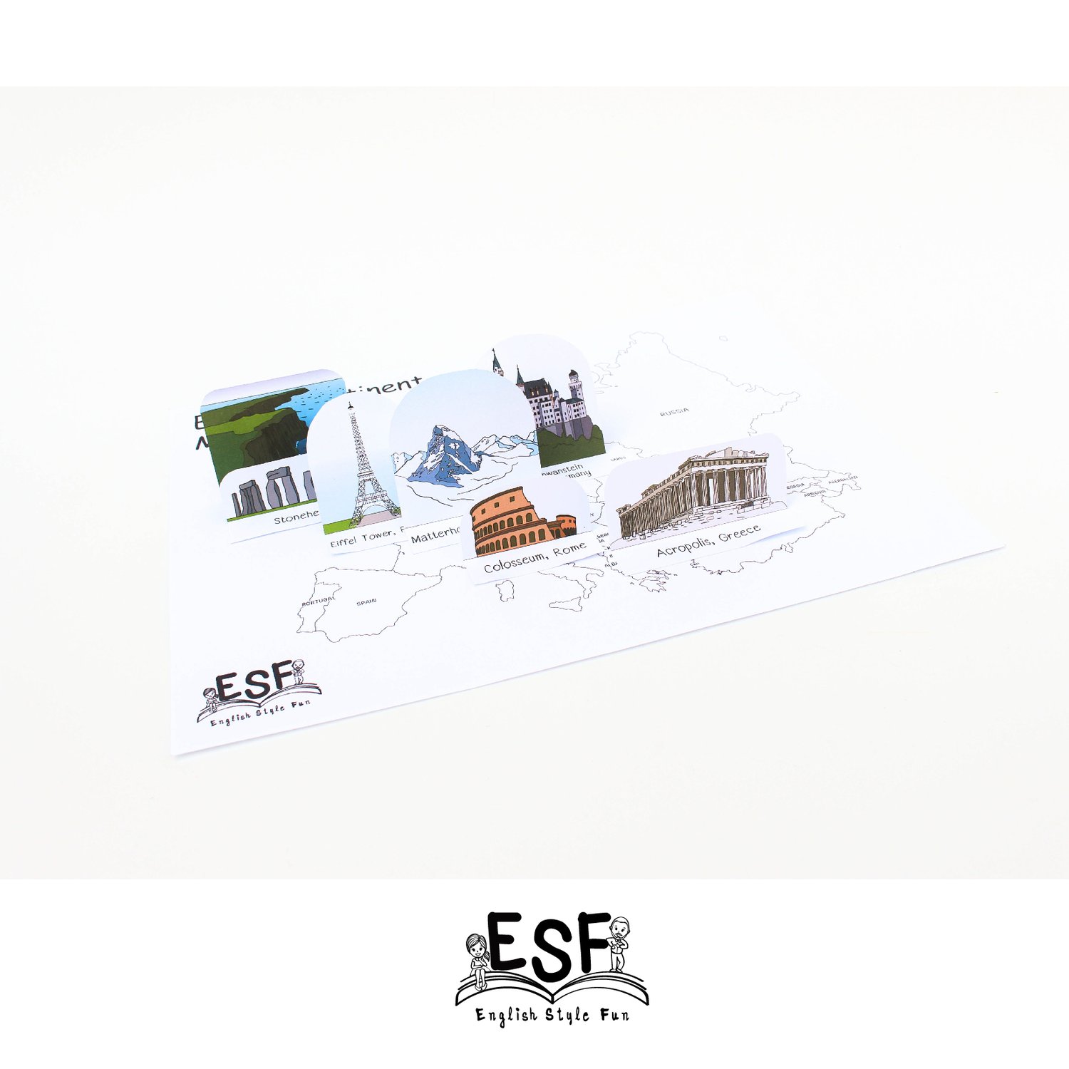
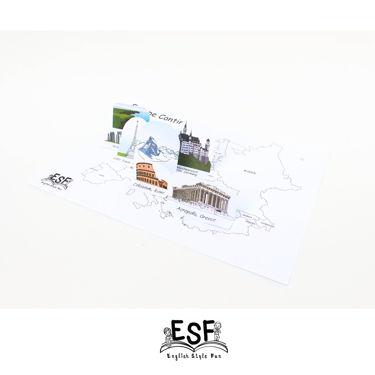
The fourth part is a fun activity to get your students interested in learning/memorizing the locations of some of the famous landmarks in Europe. Students will be required to cut out 3D pop-up images of the landmarks. You can choose to have them color the landmarks themselves or we offer them with the finished colored sheet. They will have to place the landmarks in the correct location and glue/double side tape onto the map.
When your students are finished, they will each have their own European Continent map along with the 3D Pop-up landmarks to show off!!
You will need:
• Coloring pencils (if desire)
• Scissors
• Glue/double sided tape